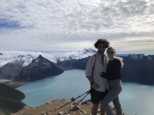
If you’ve ever been on Instagram you’ve probably seen Wedgemount Lake.
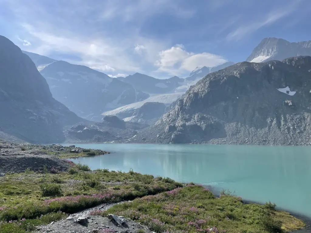
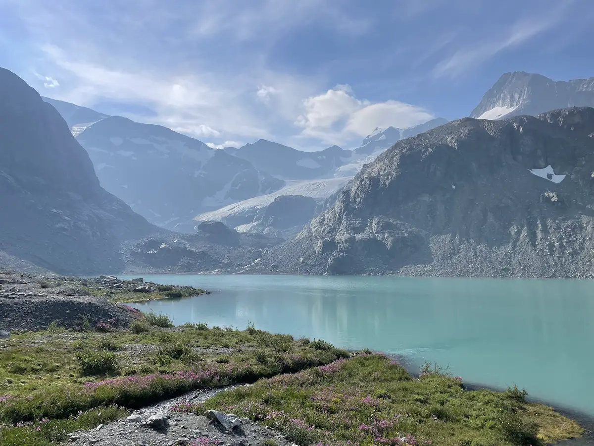
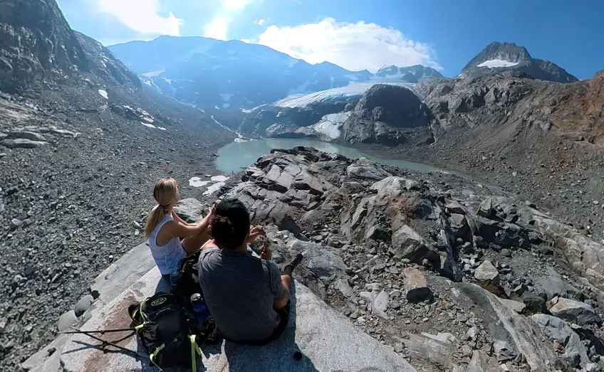
It’s unique slender appearance and glacial blue waters backdropped by the Wedgemount Glacier and towers of Rethel Mountain aren’t a sight you can forget. It’s a sea to sky hiking classic and although it’s quite busy, it’s a trail every local hiking enthusiast needs to check off their bucket list.
The Wedgemount trail is relentlessly steep and almost completely forested until you reach the final 100m climb to the top. This is what I like to call a destination hike! Climbing almost 1300m over 6 kilometers makes for a great cardio workout and the views at the end are nothing short of spectacular.
Backcountry Basics
Remember the Backcountry Basics
- Carry your Survival Kit & Essentials
- Let someone know where you’re going with a Trip Plan
- Know how to avoid negative wildlife encounters
- Practice Leave No Trace to keep the wilderness pristine
- Carry a Satellite Communicator like SPOT X
Table of Contents
Wedgemount Lake Trail Quick Stats
| Distance (Round Trip) | 12km |
| Elevation Gain | 1,310m |
| Time (Round Trip) | 5-7 hours |
| Dogs | no |
| Camping | yes (reservation required) |
| Season | July-Oct |
| Difficulty | Intermediate |
| Remoteness | Well Trafficked |
| Highest Point | 1950m |
Directions to Wedgemount Lake Trailhead
The trailhead is located a 20 minute’s drive north of the Whistler village. Take a right off Hwy 99 onto Gravel Pit Rd, cross the bridge and continue to the left on the Wedge Creek FSR. There is great signage along the Wedge creek FSR that can be easily followed to the parking lot at the top. The road is gravel but is fairly well graded and can be driven by all vehicles, just make sure you take it slow if you have low clearance. There are a number of dirt parking lots and you should have no problem finding a spot to slot your vehicle.
Wedgemount Lake Trail Map & Description
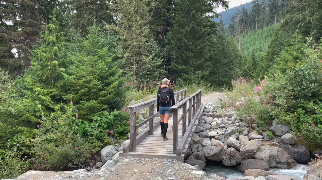
The trail begins on the north side of the parking lot on the gravel path. Follow the path over the wooden bridge and stay right at the first fork in the road. Prep your mind and your quads because after 200 short metres you’ll see the signpost leading to Wedgemount Lake.
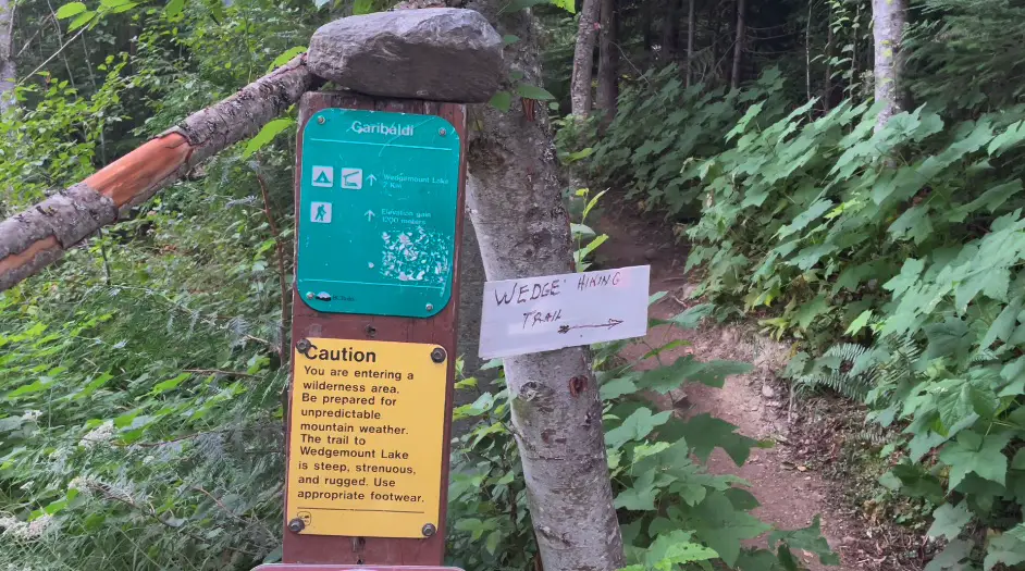
The trail is steep and forested climbing alongside the Wedgemount Creek. The terrain flips between dusty soil, rock and roots. About two kilometers into the hike you will be able to see a gorgeous waterfall in the horizon plummeting down the rocks from the Col.
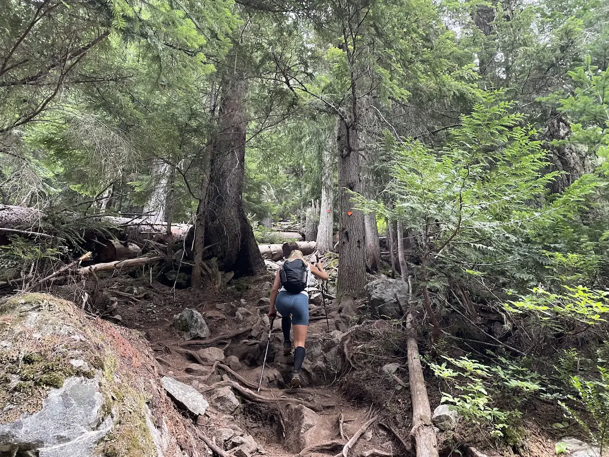
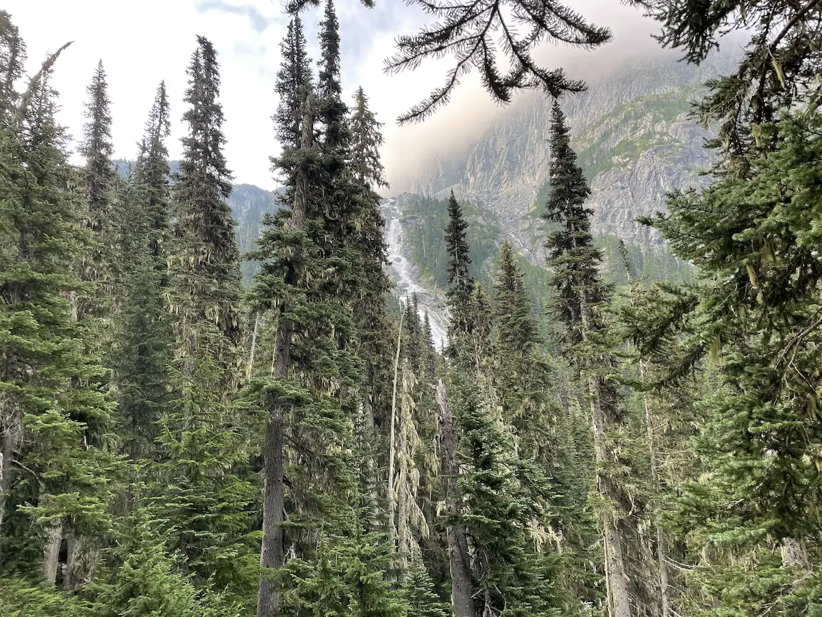
At around the 2.5km mark you will be rewarded a chance to catch your breath away from the trees as the trail flattens out and crosses a boulder field. But, the tree free walking doesn’t last for long as you are once again funnelled uphill into the forest.
After about 500m the trees you will open up and you will reach the final climb up the boulders to the lake. This portion of the trail is steep and the ground and rocks can be slippery so take your time.
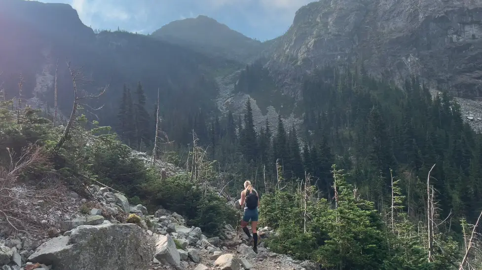
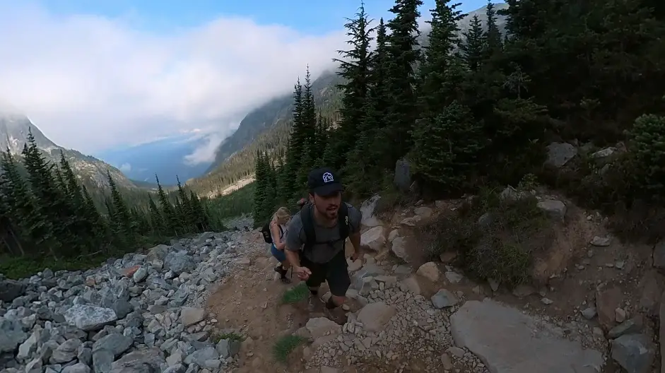
As you pass over the Col the lake (and outhouse) will come into sight. Take a quick detour to the right so you can get a breathtaking view from the rocks.
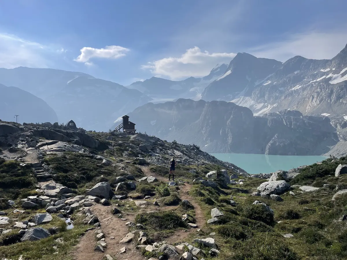
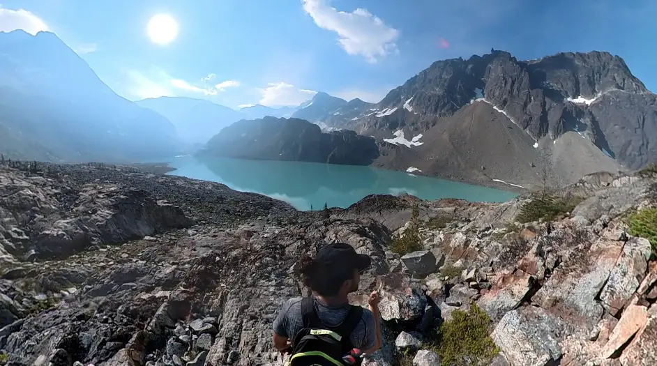
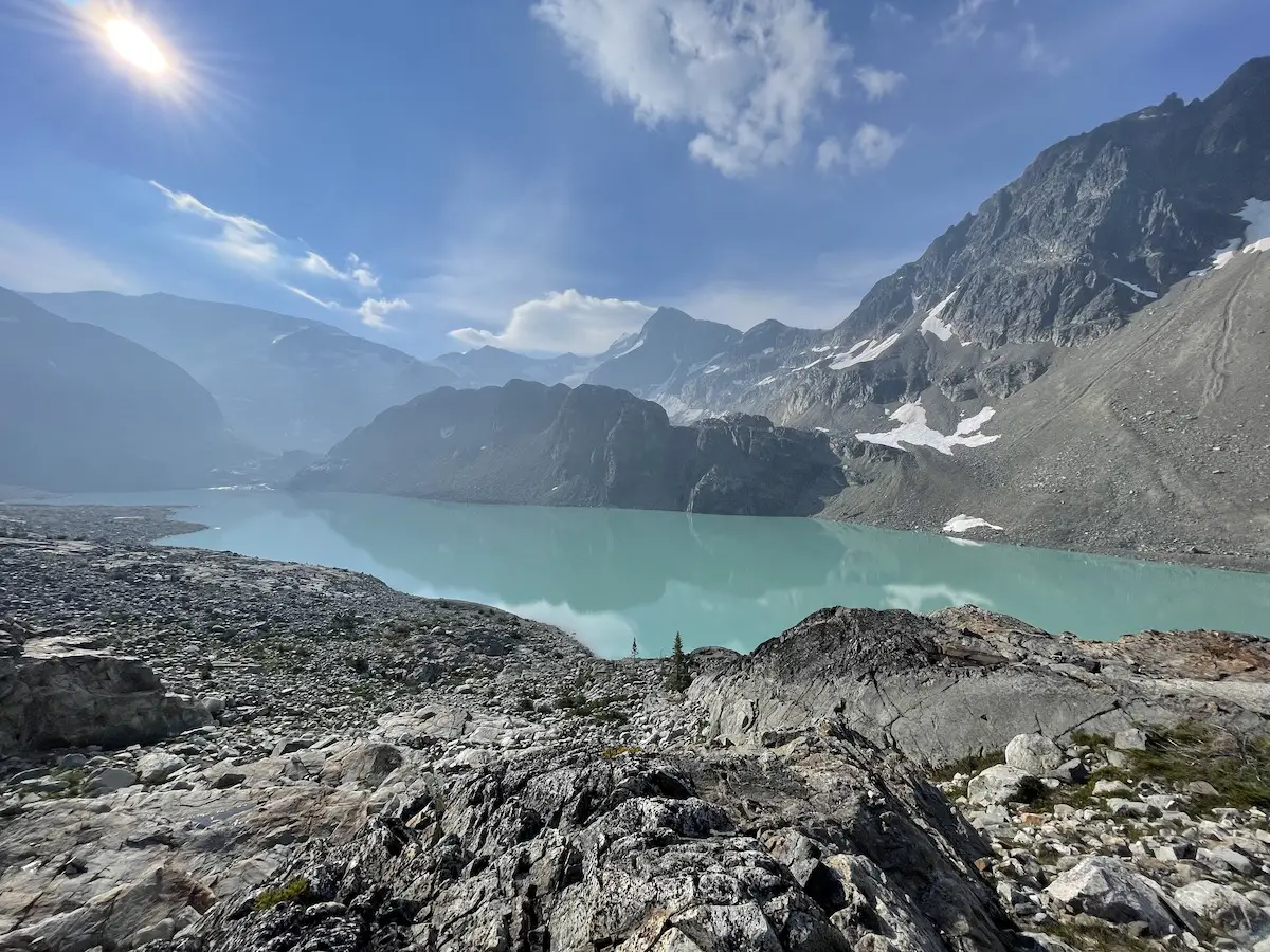
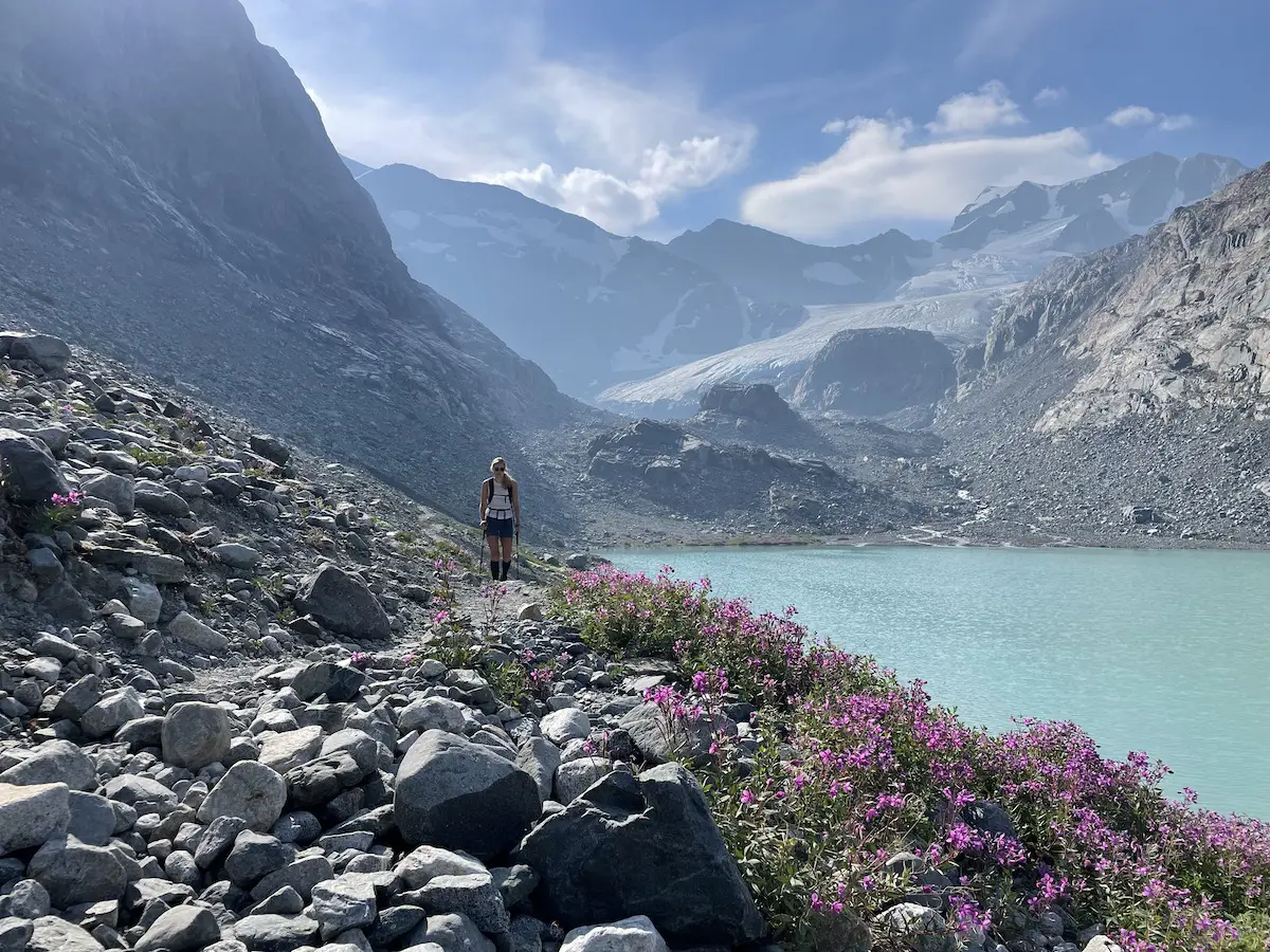
Once you’ve snapped a few pictures head along the west side of the lake through the rocky meadow towards the campsite. As you near the campsite you will get an even better view of the glacier.
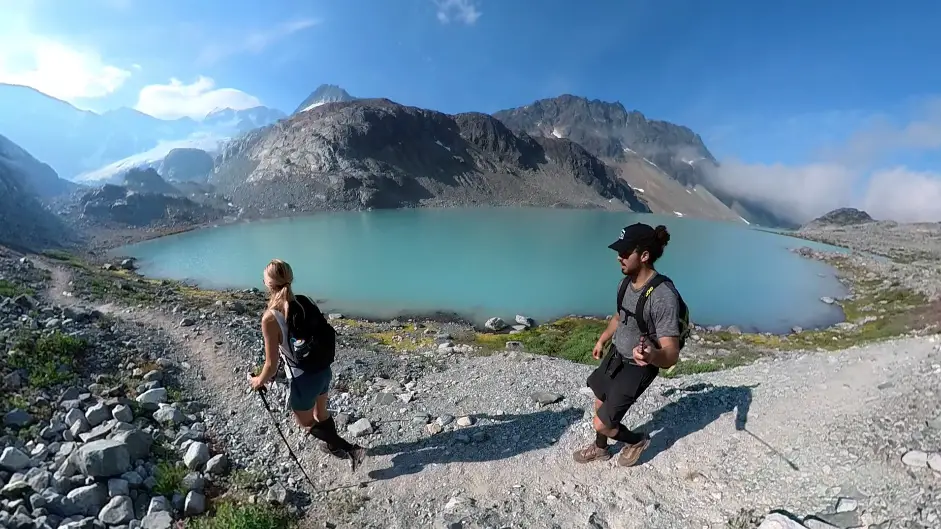
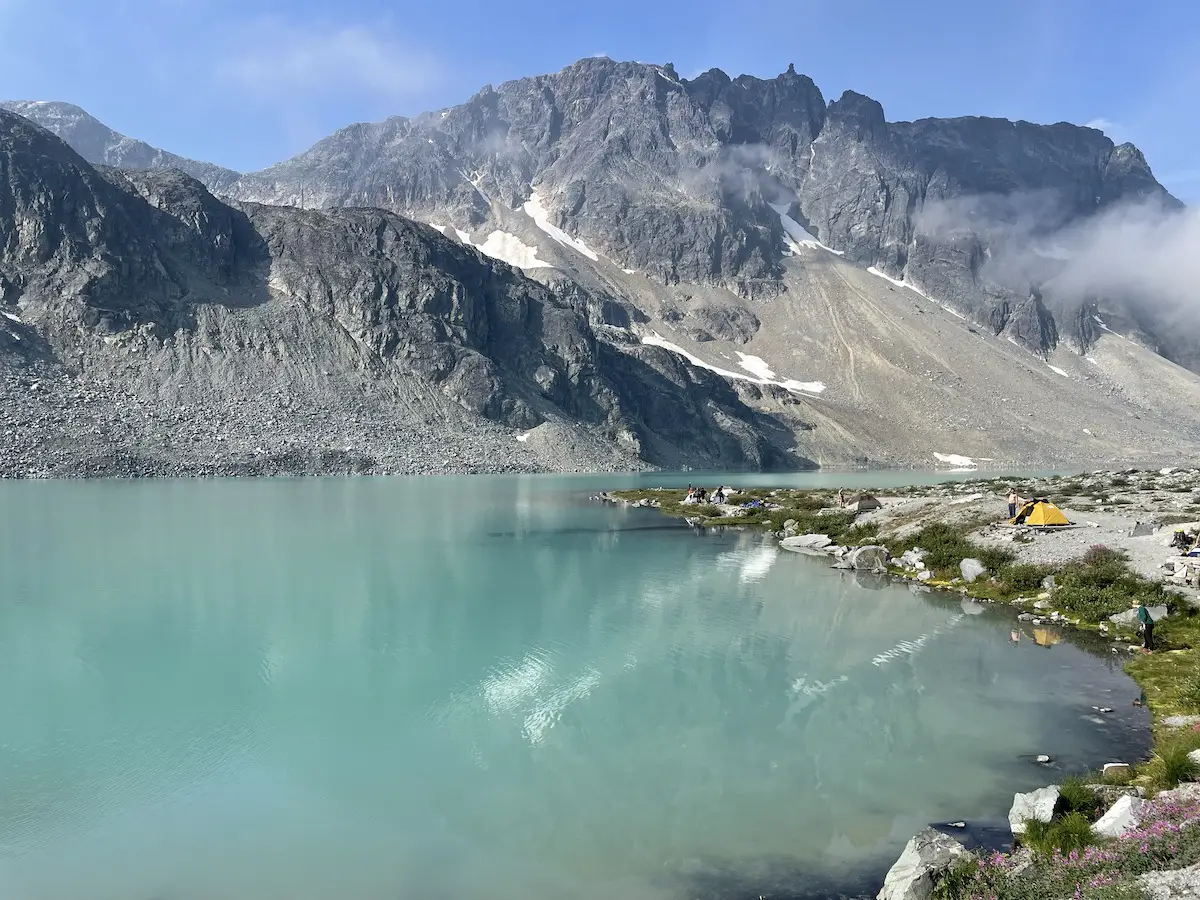
My favourite view was from the shoreline of the campsite. You just can’t beat the mountain/glacier backdrop with the alpine flowers.
If time permits I would 100% checking out Tupper Lake. It’s only about 15 minutes past the campsite and allows you to get up close and personal with the Wedgemount glacier.
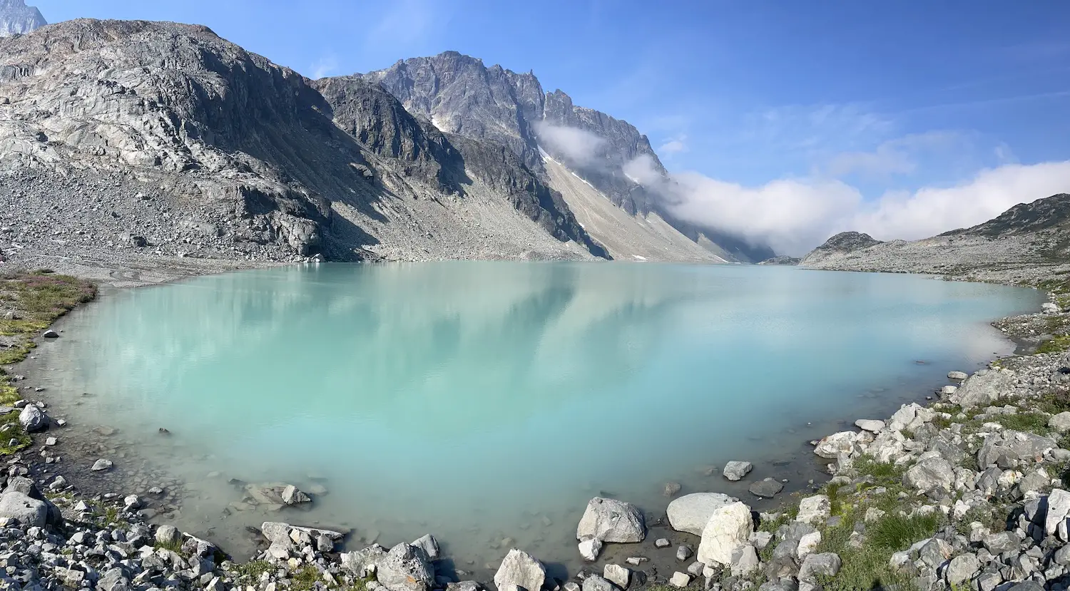
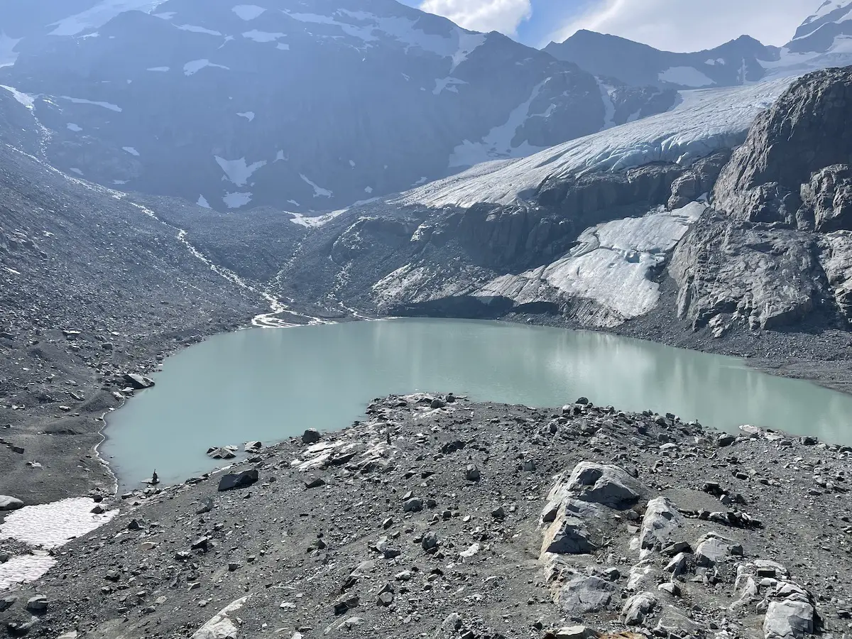
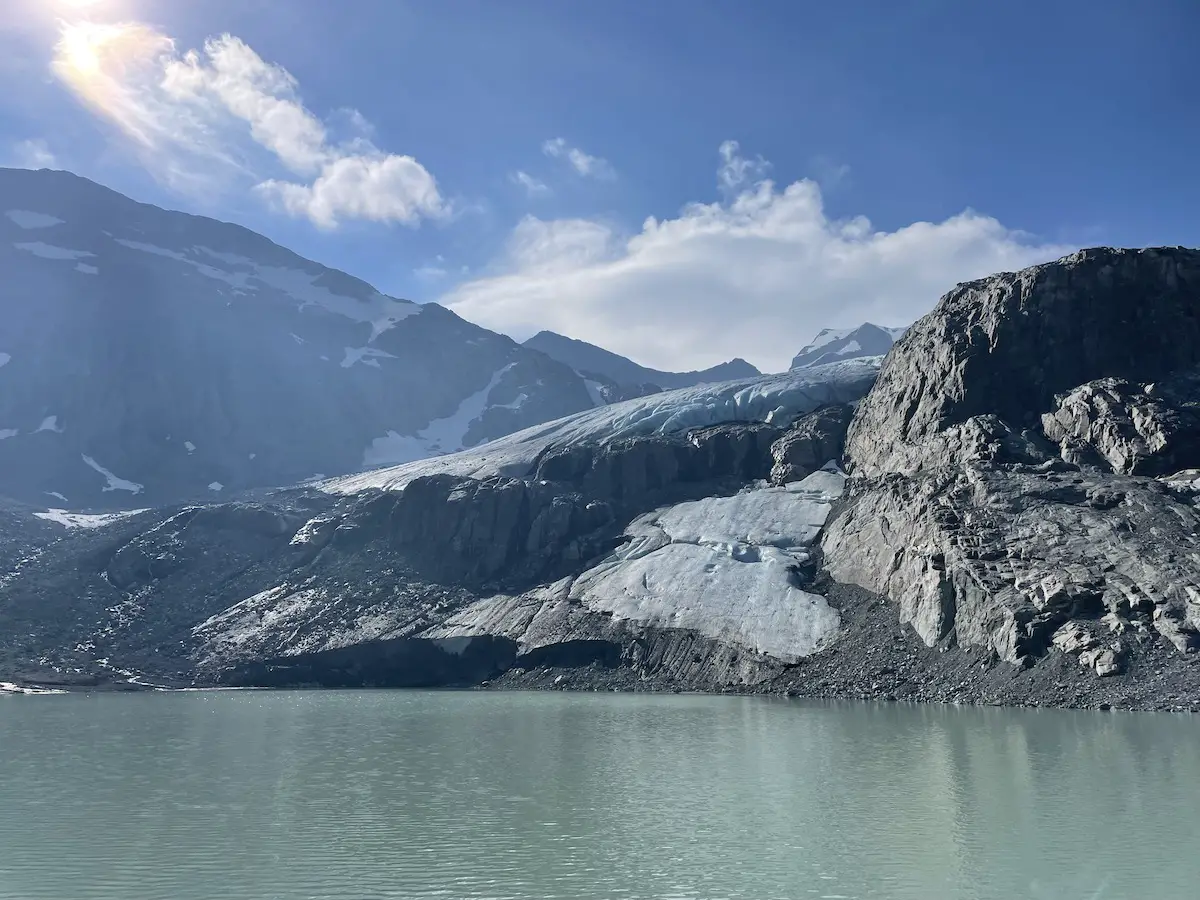
We ate lunch up on the rock looking over Tupper and Wedgemount lake before having a quick dip and following our steps down.
For those looking to extend the adventure you can plan for a mission up to the summit of Wedge Mountain. There are a multitude of routes you can follow depending on conditions, experience and equipment.
Let me know if you have any Q’s.
Happy Hiking.

