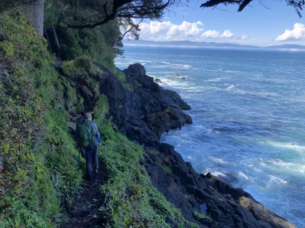
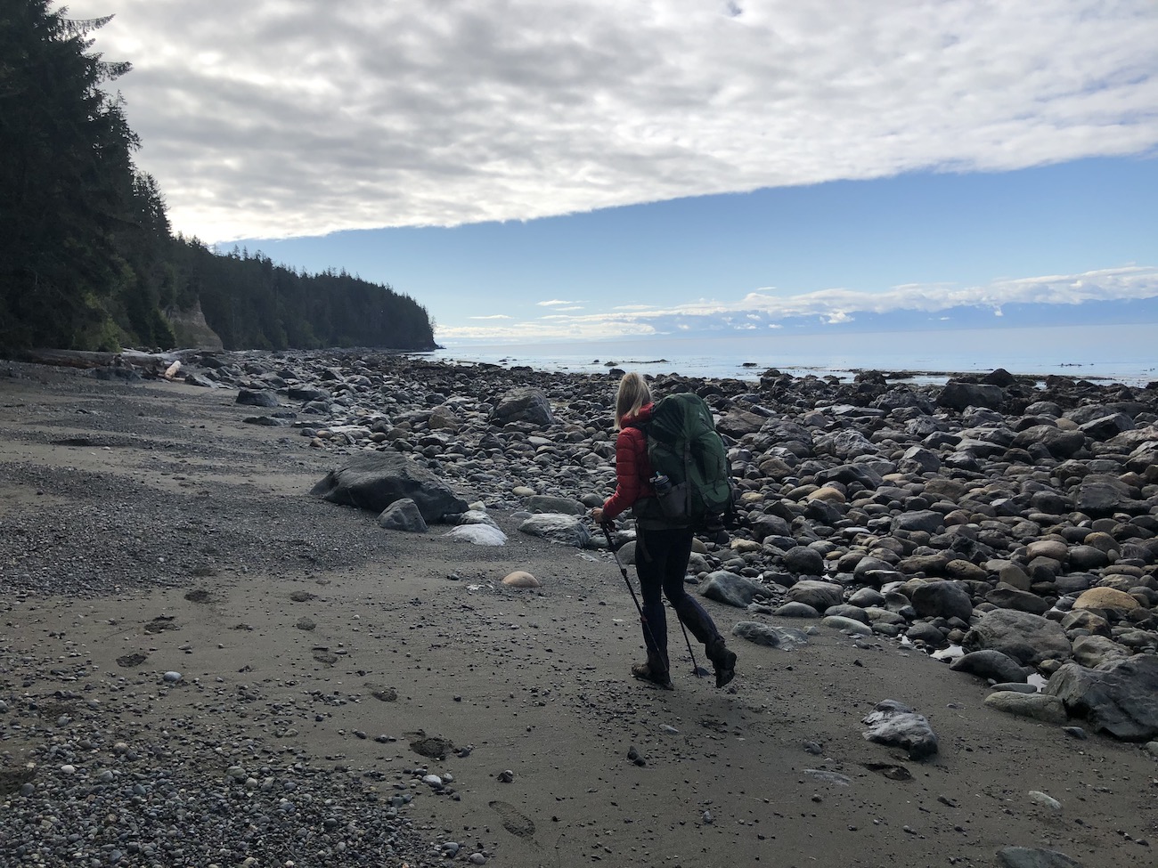
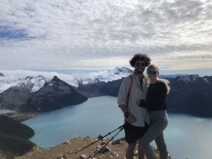
The Juan De Fuca Marine Trail (JDF) is a Vancouver Island coastal hiking classic. The route stretches 47km along the spectacular Western Shoreline of the Southern Island. It’s a coastal hikers dream and days on the trail are filled with unbelievable beach crossings, dense rainforest, abundant wildlife and non-stop crashing waves. The JDF is well known for its complex terrain. Slippery roots, deep mud, washouts, fallen trees, broken structures/stairs and unpredictable tides are what give this trail it’s character. It’s a bit more of an adventure and much more remote feel than its sister, the West Coast Trail. The campsites are located on gorgeous beaches and free time is easily enjoyed combing the beaches and having a fire. Coastal weather can be unpredictable, but, when it’s sunny, the JDF trail is even more amazing since it’s South-West facing and you’ll get sun for the entire day.
Fortunately, you don’t have to plan a year in advance or battle the headache inducing BC Parks reservation system because all campsites are first come first serve and only require a $10 backcountry camping permit. For those without two vehicles, or no vehicle at all, there are shuttle opportunities to help you get to the trailhead and home/back to the airport. The Juan De Fuca trail is unbelievably rewarding and I encourage everyone to challenge themselves to give it a whirl.
Table of Contents
The Breakdown
| Distance (Round Trip) | 47km |
| Elevation Gain | 1600m |
| Time (Round Trip) | 3-5 days |
| Dogs | Yes |
| Camping | Yes (Wilderness - $10/night) |
| Season | Year Round |
| Difficulty | Complex coastal & rainforest terrain (MUDDY & ROOTY) |
| Remoteness | Heavily Trafficked |
| Peak Season | July-Sep |
Remember the Backcountry Basics
- Carry your Survival Kit & Essentials
- Let someone know where you’re going with a Trip Plan
- Know how to avoid negative wildlife encounters
- Practice Leave No Trace to keep the wilderness pristine
- Carry a Satellite Communicator like SPOT X
Directions to the Juan De Fuca Trail
If you’re taking the shuttle from the city, just sit back and relax! For the majority of us driving, finding the trailheads is very simple. The only decision you have to make is whether you are going to start at Botanical Beach or China Beach. Both trailheads are located with good signage between Jordan River and Port Renfrew on BC Hwy 14.
Shuttle to the Trailhead
If you only have one vehicle or you need to hitch a ride from the city, no problem, the West Coast Trail Express has you covered. The bus makes stops in Victoria, Nanimo, Lake Cowichan, a few places in between and at all of the trailheads along the trail. Reservations are required within 48 hours of notice. However, if you run into some trouble or plan poorly they also pickup drop-ins at the trailheads if you wave them down. Don’t count on this though, because if the bus is full you wont be able to hop on. Check the Trail Bus website for the most updated information on schedule/rates for the current hiking season. Since we only had one vehicle, I parked my truck at the China Beach Trailhead and hopped on the morning bus to Botanical Beach. The Driver zipped right past us so make sure you really wave him down/get their attention so your whole itinerary doesn’t get backflipped. If you begin the trail from Botanical, the driver will drop you off in port Renfrew and you will have to walk 3.2km up the road to Botanical beach. Stick out your thumb while you’re walking and maybe some other hikers will help you out! Just be aware that starting at Botanical will add a few km’s to an already lengthy day.
Click to book a ride on the West Coast Trail Express
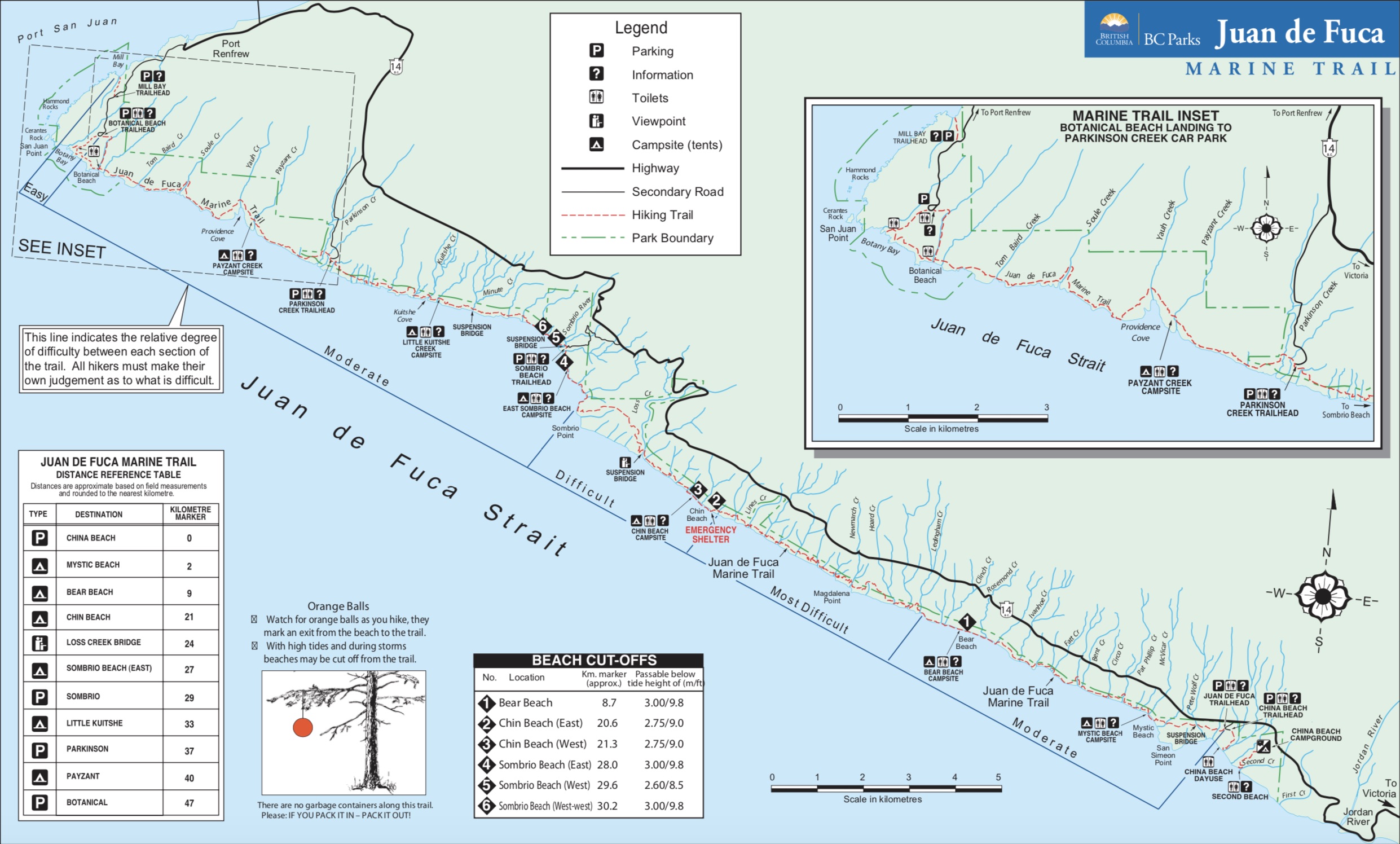
Trail Map
Link to the BC Parks Map Brochure
Which Direction to Hike
Either direction will be phenomenal. The most common way to hike the trail is from China Beach to Botanical Beach however it can be done in many different variations. Since we wanted to finish at our vehicle we opted to catch a ride on the West Coast Express to Botanical Beach and hike the opposite direction. I believe this way is optimal because for most 3 night hikers you will spend your first night at Sombrio beach which means you will knock off the toughest stretch of hiking on Day 1.
Tide Crossings
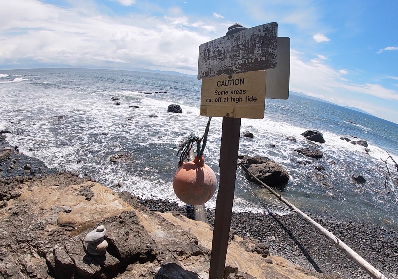
There are six significant tide issues along the Juan De Fuca Marine Trail. Ensure that you are familiar with how to read a tide table before the start of your trip. The park rangers had the tides posted on information boards along the trail but I wouldn’t rely on these and would recommend printing one off and carrying it along with you. Be aware that wind can also make a passable tide impassible due to waves crashing on the rocks/cliffs.
| Location | Km Marker (Approx) | Passable below tide height of (m/ft) |
|---|---|---|
| (1) Bear Beach | 8.7km | 3.00/9.8 |
| (2) Chin Beach East | 20.6km | 2.75/9.0 |
| (3) Chin Beach West | 21.3km | 2.75/9.0 |
| (4) Sombrio Beach East | 28km | 3.00/9.8 |
| (5) Sombrio Beach West | 29.6km | 2.60/8.5 |
| (6) West of West Sombrio Bluff | 30.2km | 3.00/9.8 |
I hear hikers boasting about how they missed the tides and hiked through knee deep water to make it to the campsite. Do yourself a favour and don’t be this person. The majority of the beach crossings are accompanied by rocky cliff faces and there aren’t many escape options. The ocean is extremely cold and hypothermia becomes a risk if you get stuck in the water for an extended period of time. Fortunately, there are alternate forest routes available at Chin Beach West (#3) and Sombrio Beach west (#5). The forest trails will make the section more grueling and significantly less beautiful so check the tide charts and plan ahead so you don’t wind up in an exhausting or dangerous situation.
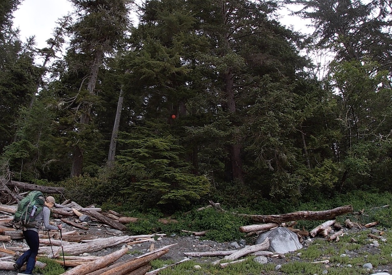
Keep your eyes out for Orange Balls hanging in the trees. These Balls mark an exit from the beach to the trail.
Campsites & Permits
Unlike many of the popularized hikes in British Columbia, The Juan De Fuca Trail maintains its old school flair allowing first come first serve camping, year round, at all of the wilderness and beach camping locations along the trail. You can self register on the BC Parks Website or fill out a self registration form and pay in cash at the trailhead. There is no change so be prepared to pay up front for all the nights you plan to stay.
Bear Caches exist at all campsites. Ensure you bring along some rope and a bag in the peak season to create a bear hang if the cache is full.
The Backountry Camping fee is $10 per peson/night (16 years and older) and $5 per child/night (6-15 years of age).
Click here to get your backcountry registration
Beach Campsites
Mystic Beach (2.2km)
Named after the mist that blankets the beach in the morning, Mystic beach is one of the most popular beaches along the trail. There is a sea cave on the North end to explore at low tide and at the south end of the beach there is a waterfall spritzing off the cliff face. Thanks to the easy walk to the beach there is typically loads of day trippers and campers there in the summer months. Given its proximity to the start/end of a journey along on the JDF most hikers will not end up spending a night here.
Bear Beach (8.2-10.7km)
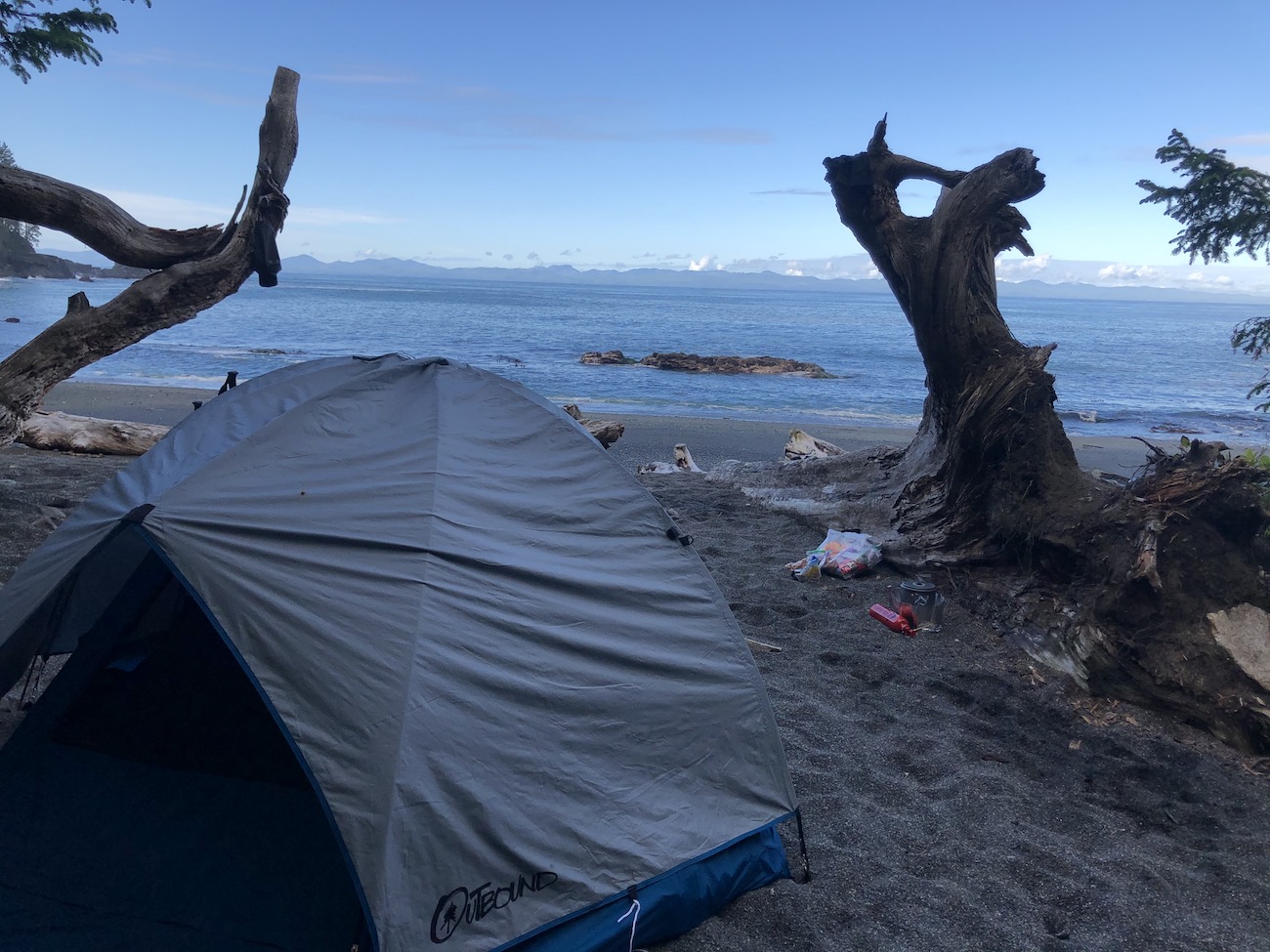
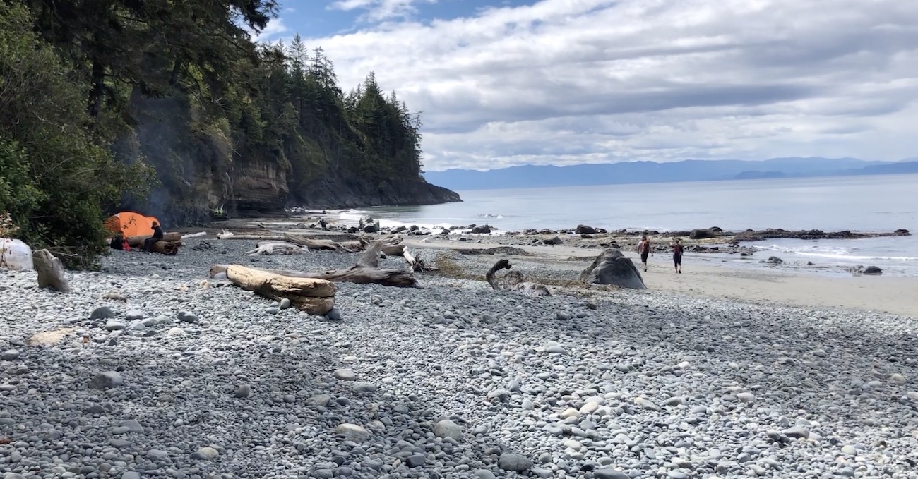
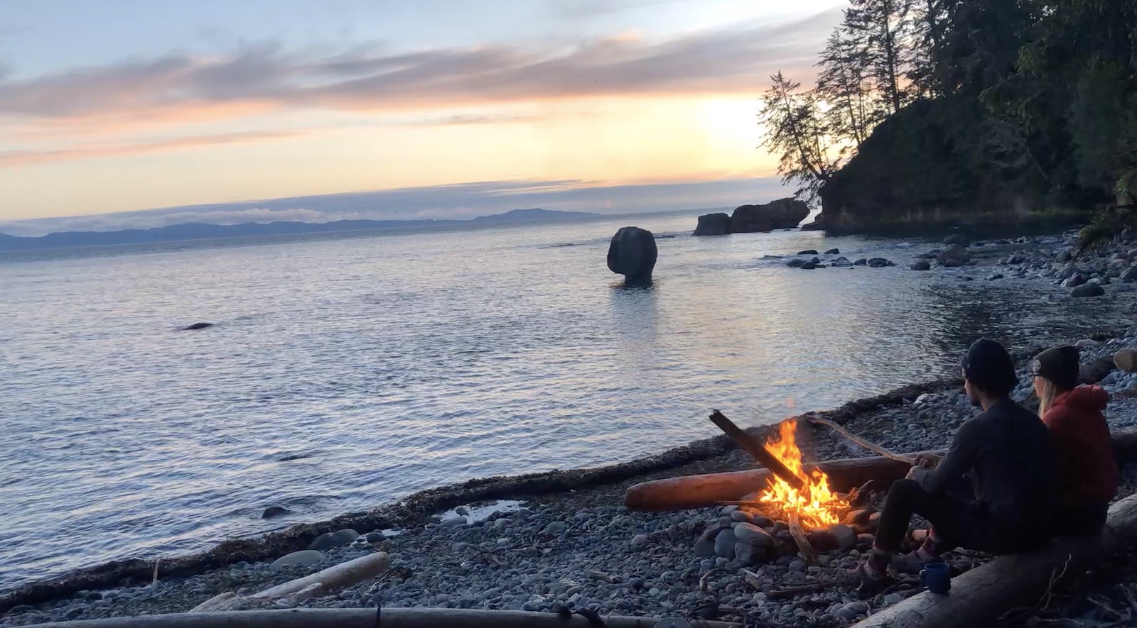
Bear Beach offers the most beachfront camping options on the trail. It’s a gorgeous Rocky Beach that stretches over 2km. There are camping zones at 8.2km, 8,7km, and 10.5km. A water source, outhouses and food caches exist at each of these three areas. The sites have a lot of character including makeshift driftwood kitchen setups, fire rings and rope swings dangling from the trees. We decided to setup shop at the 10.5km mark so we could have a fire and watch the sunset over the weird rock formation in the water known as, rock-on-a-pillar.
Chin Beach (21km)
The majority of the campsites at Chin Beach are tucked into the shady forest, some perched nicely with a view of the water. It’s much smaller than Bear Beach and there are less camping options, but the beauty of its rocky shoreline packs a punch. If you have a smaller sized tent you can get creative and camp on the rocks above the high tide line allowing for more privacy and a more beautiful experience. Chin beach is a marvellous spot to warm up by a fire and enjoy a wildly colourful sunset. Note: There are tide problems on the East and West sides of Chin Beach so make sure you check the tide table and plan your arrival accordingly so you don’t have to stay too late, even though this wouldn’t be too much of a burden.
Sombrio Beach (27km)
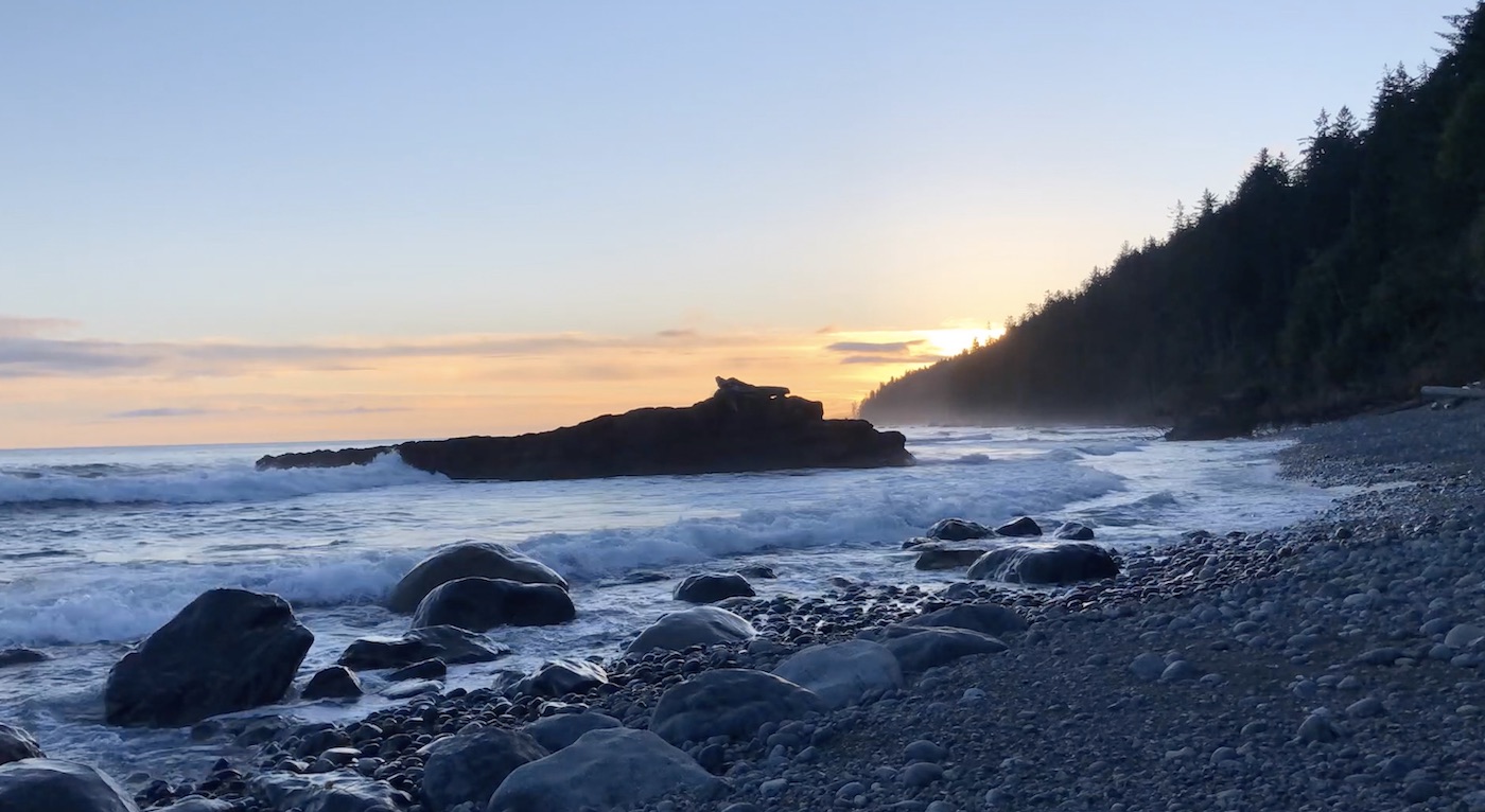
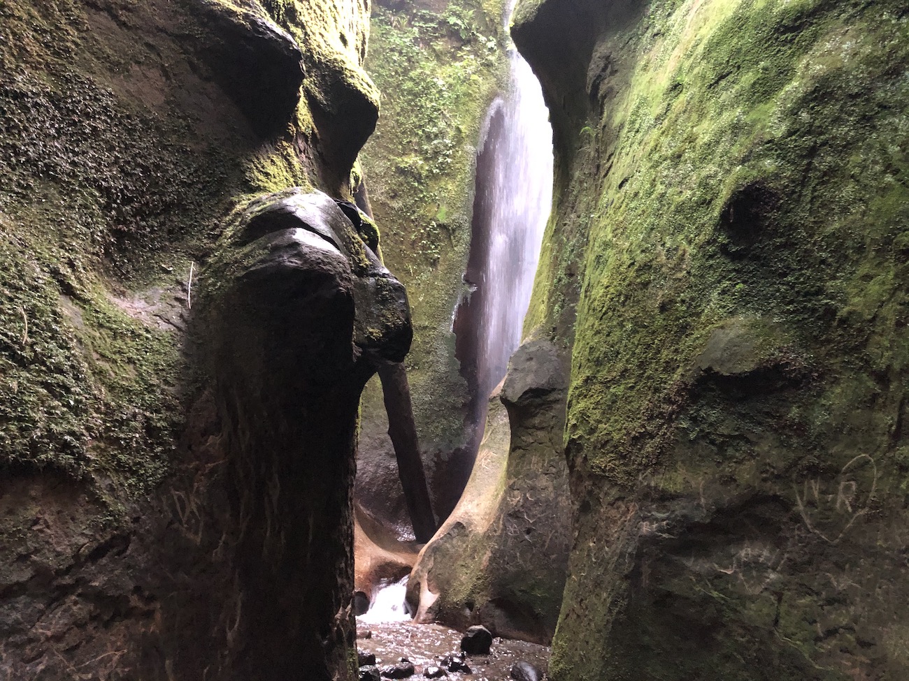
If you’re looking for that West Coast white sand beachfront camping experience, East Sombrio is the beach for you. The East Sombrio shoreline is vast and you can find the perfect slot to hunker down for the night. The West portion of Sombrio beach sees a lot of foot traffic from day hikers, picnickers and surfers. Although there is camping on tent pads at West Sombrio which are quite nice and have a secluded feel, East Sombrio is the play as it offers a more memorable experience. Once the evening nears the crowds will diminish and you’ll have the massive sandy beach to yourself. The waves are monstrous slapping hard against the rocks all night cradling you to sleep like a baby. Sombrio is also well known for it’s unbelievable waterfall which is located just up from the water source on the East beach. It’s extremely unique and transports you into a tropical world. A fire at Sombrio is a must, however, finding wood can be a challenge due to all of the daily traffic. Remember not to disrupt any live vegetation, instead, take a walk along the beach and see what kind of driftwood you can muster up.
Forest Campsites
Little Kuitsche Creek (33km)
There are some ‘secret’ beachfront camping spots at Little Kuitshe Creek, and access to the rocky shoreline. However, the primary camping zone is quite damp and forested. For what it lacks in glamour it makes up for being very peaceful because of its unpopularity among hikers.
Payzant Creek (40km)
Unless you are totally dogged I wouldn’t recommend spending a night here. There’s no beach access and it’s pretty close to the start or finish line of the trail.
Fire Regulations
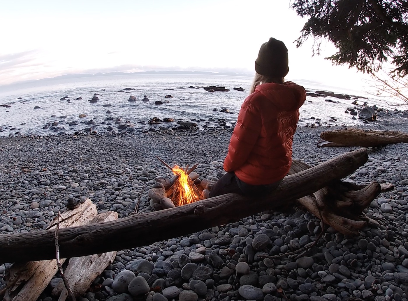
Fires make the perfect end to a hiking day and are permitted at all of the beach campsites (Mystic, Sombrio, Bear, Chin). They are not permitted at the two forest campsites (Little Kuitsche and Payzant Creek). Be sure to check the forest fire hazard as you cannot have a fire if there is a fire ban in effect. There is loads of driftwood to burn, just do you best to have your fire under the tideline so the water can wash away the ash. Also remember to bring some sort of fire starter along in case the weather is wet, and most importantly, don’t forget marshmallows.
Our Juan De Fuca Trail Experience/Recommended Itinerary
Day 1: Botanical Beach to East Sombrio Beach (20km)
Our first day was an absolute KILLER! We began the journey at the side of BC Hwy 14 waiting for the West Coast Trail Express Shuttle Pickup. The driver misinterpreted our waves and we had to run down the road lugging our heavy packs to get his attention. Thankfully, he pulled over, we hopped on, and rode 45 minutes to Port Renfrew. The shuttle will only drop you off in Port Renfrew so this meant we had to hike 3.2km up the paved road hill to Botanical Beach, increasing our hiking distance for the day to 23.3km
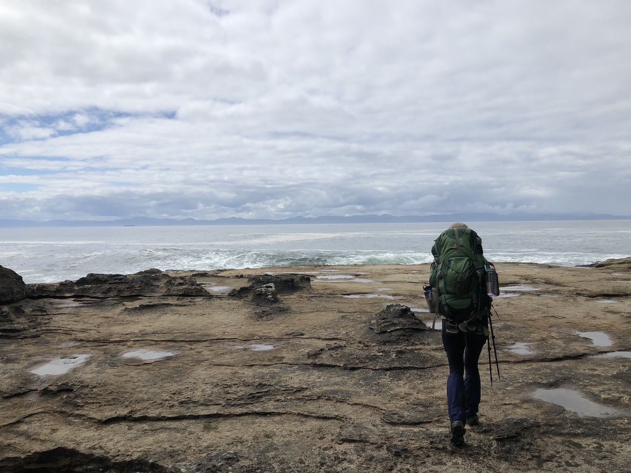
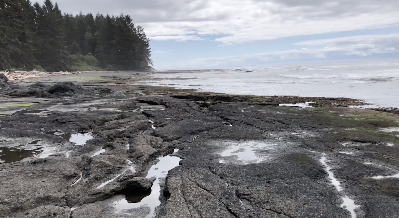
Passing through Botanical Beach was unforgettable. The water is turquoise and the steep cliffs, rock formations, coves, tidepools and smashing waves made it all the more special. We basked in the glorious beauty of Botanical beach and the short portion of non-muddy terrain that followed. Laura and I expected 20km of pretty much flat hiking to be dead easy, however, the mud, broken structures, fallen trees and slippery terrain made this the most challenging section of the hike for us.
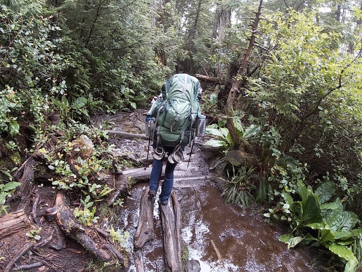
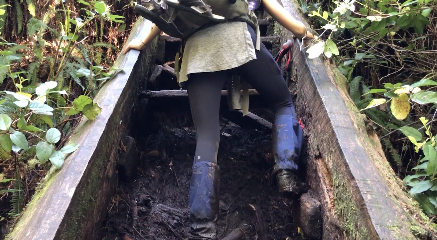
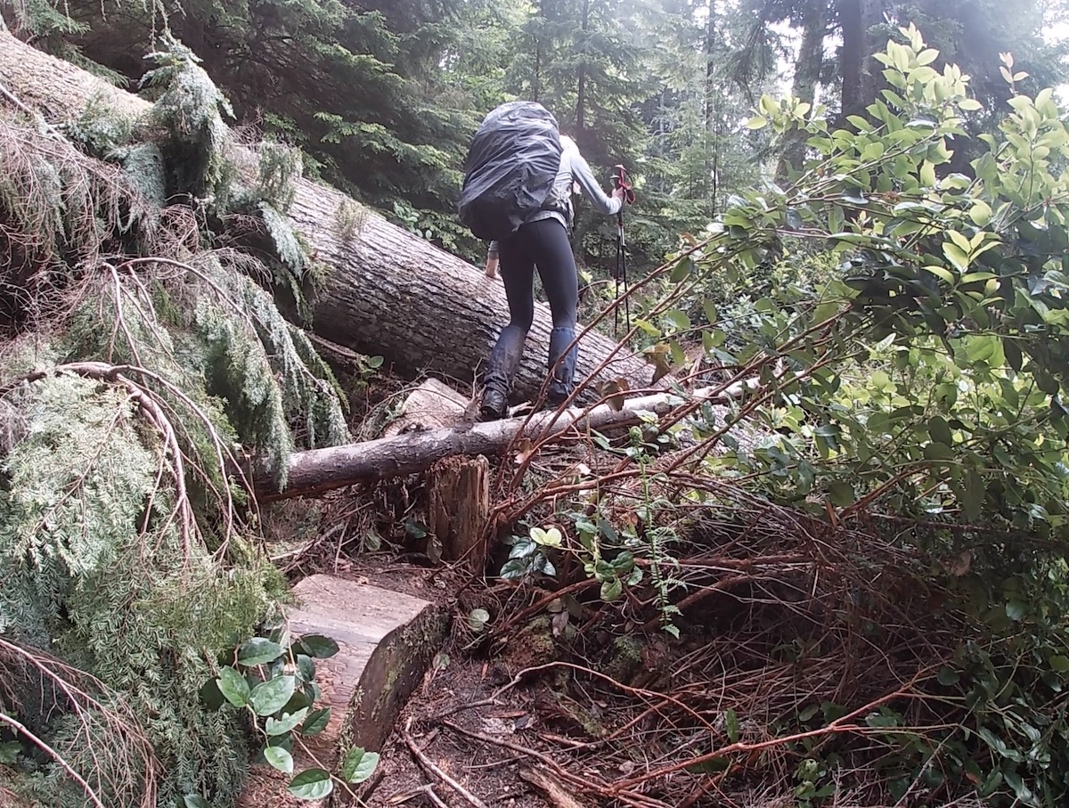
I took a tumble down some stairs at 3km starting a trend of falling that we would continue to uphold for the remainder of the day. The breathtaking beach views continued for the course of the day keeping our spirits high was we trudged through the mud at a relatively slow pace. As you near Sombrio Beach there is a suspension bridge which is quite horrifying, especially given the lack of maintenance on the other structures. We timed the tides just perfectly and crossing from West to East Sombrio Beach was seamless. Although the section from Botanical Beach to East Sombrio is rated as ‘Easiest’, the conditions and fallen trees can carve up your time pretty quick. This stretch of trail was one of my favourites as you are constantly weaving in, around, and off the shoreline and can hear and see the waves for a majority of the day.
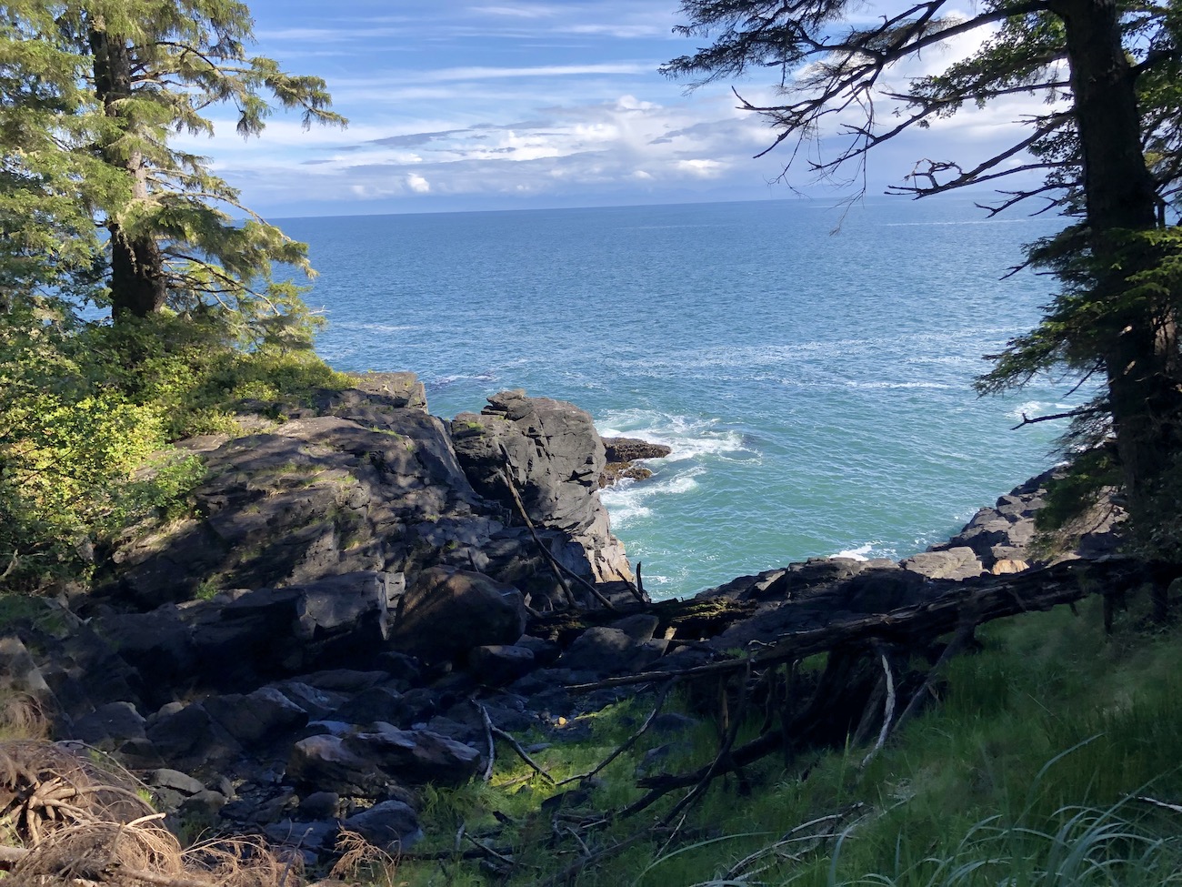
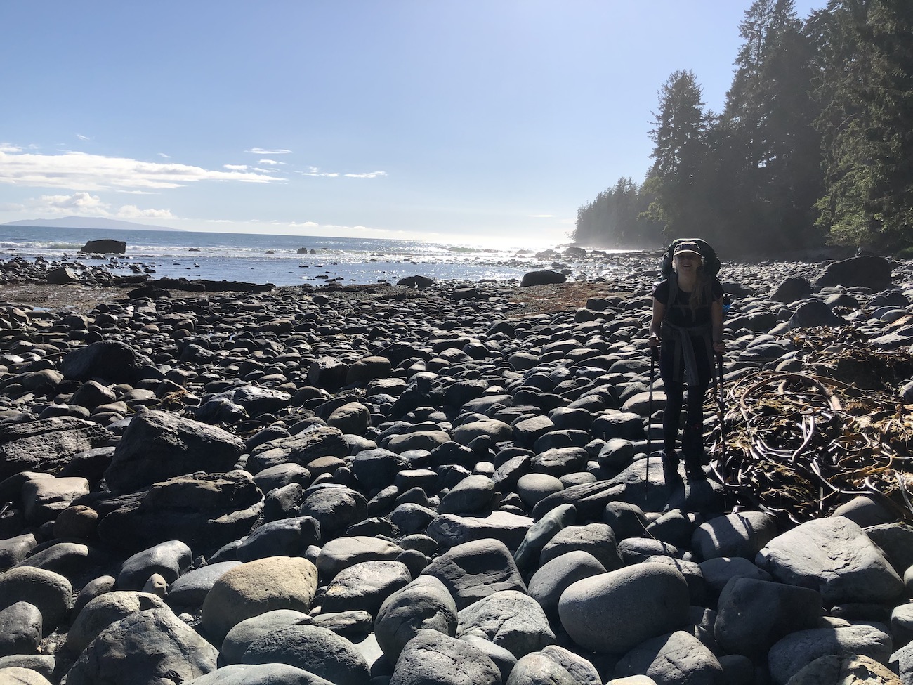
Our day took way longer than predicted and we arrived at camp after approx. 9 hours. We found an ideal private spot on the water to setup camp and once we were settled we checked out the Sombrio waterfall. We concluded the day sitting exhausted in the soft warm sand beside a perfect fire watching the sun fall.
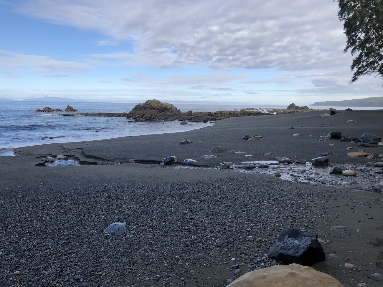
After day one the rest of the trail was a walk in the park.
Day 2: East Sombrio to Chin Beach (7km)
It was extraordinary opening the tent door after a restful sleep and being right on the shoreline of the magnificent East Sombrio Beach. The 7km section to Chin Beach is marked as ‘difficult’ but we found the day to be 10x easier than the first. The first km of the day is the most beautiful balancing atop the steep cliffs and looking down at the water pounding below.
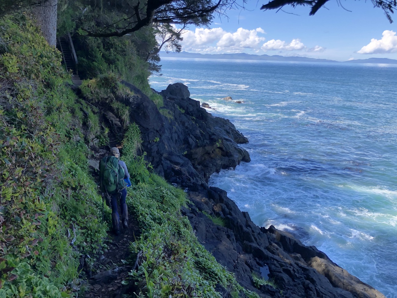
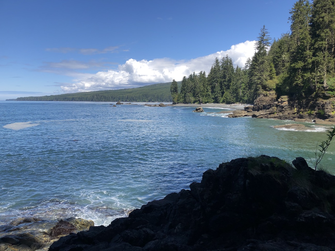
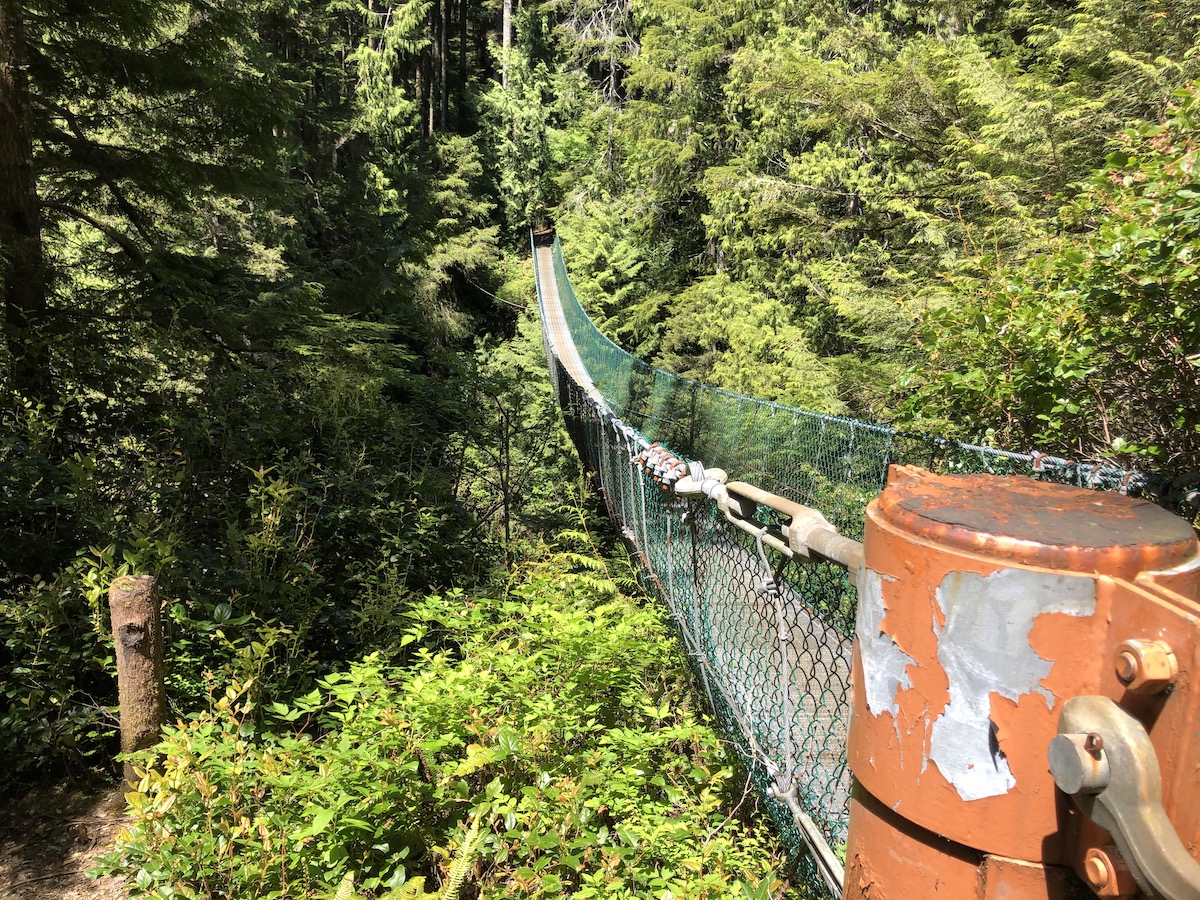
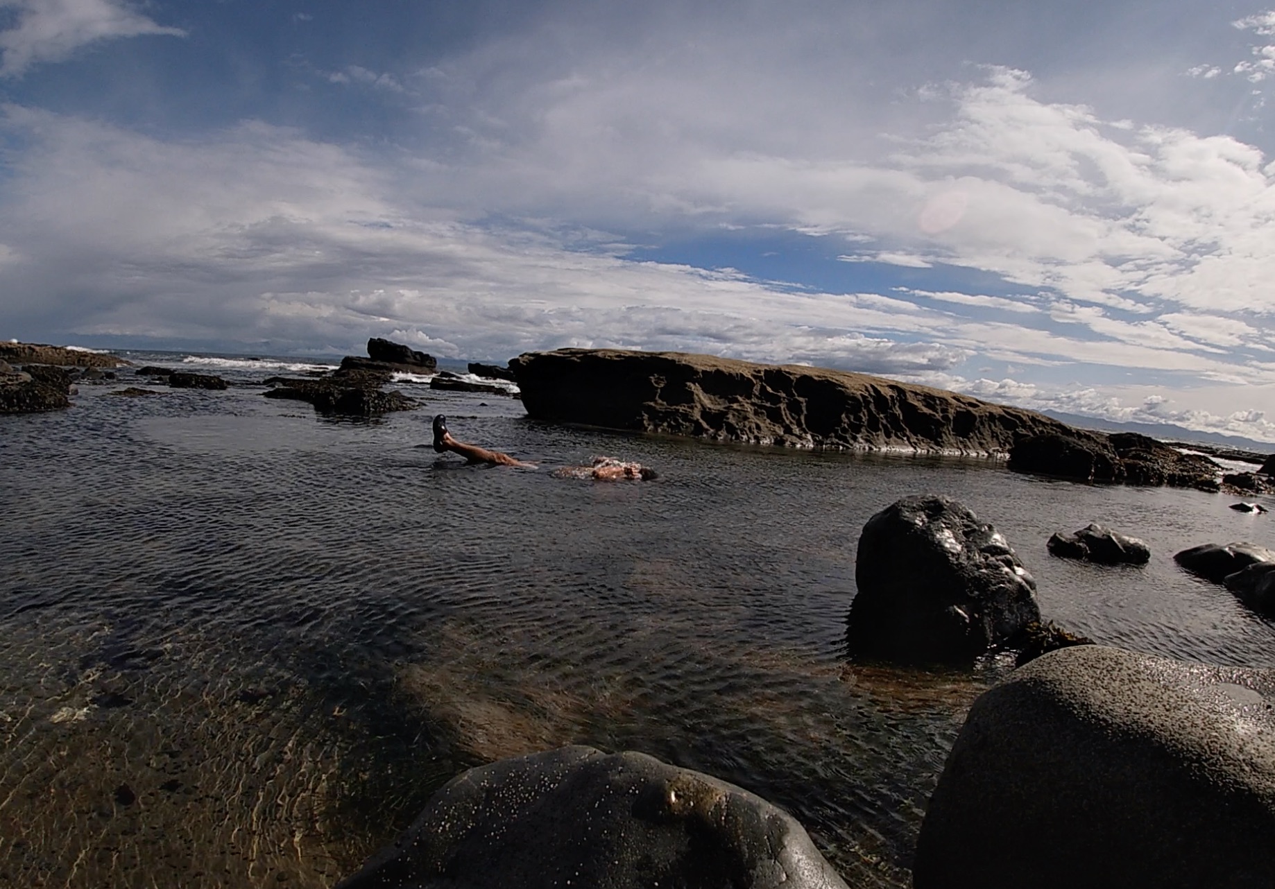
The trail then takes you into the trees inducing some minor elevation change and was surprisingly very dry. There is a second, even higher, suspension bridge to cross which once again freaked us out. Shortly after the suspension bridge we ventured onto a rocky beach to try and do a beach crossing. This wasn’t a marked beach crossing and we were not able to pass the water/rocks so had to backtrack and head back up into the trees. Shortly after passing the spot where we could not pass we were welcomed onto the beach once again and hiked alongside the towering clay cliffs until we reached Chin Beach. The second days hike took us about 3 ½ hours so it was a very mellow and quick leg of the journey. We arrived early so I went for a swim, we beachcombed for a few hours, basked in the sun with the otters and collected firewood. We setup our tent in the forest, but had the perfect fire on the shoreline with a tea to end the night. Weather was amazing for us on our trip and we had sunsets every night. Chin beach had the best sunset of them all. The campsite looks out towards a massive rock that looks like a battle ship. I was mesmerized watching the waves smash the sides of the battleship as the sun tucked itself to sleep beneath the treetops.

Day 3: Chin Beach to Bear Beach (11km)
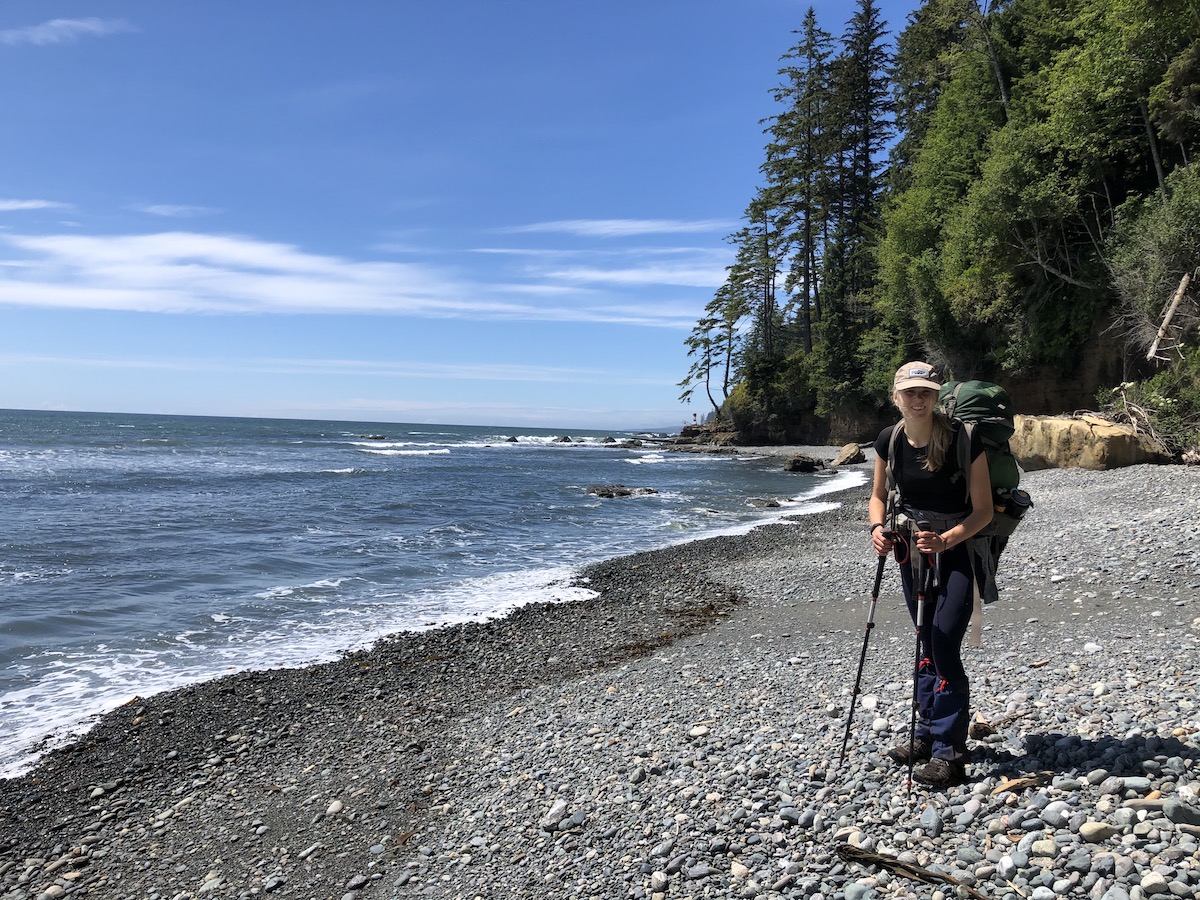
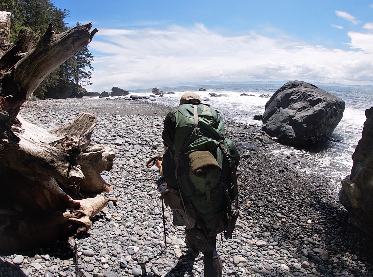
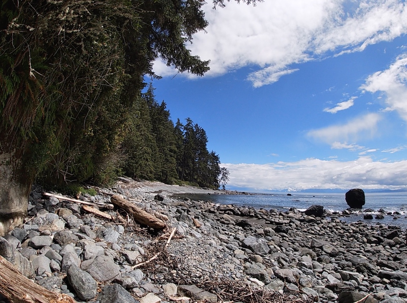
This section of the hike is rated as the ‘most difficult’. I believe it acquired this rating because it has the most elevation gain overall. We had no problem with this section, found it a breeze and much less challenging than the mud sloshing of the first day. The large majority of the trail for the day was in quiet forest and was the first time on the trail that we couldn’t hear the sounds of the crashing ocean. We had Bear Beach all to ourselves and the sun was pounding directly upon our campsite. We placed our tent in the perfect nook in the trees overlooking the Rock-on-a-pillar. I once again went for a swim and collected loads of firewood. We hiked the entire 2km length of the beach to tour the other campsites which are equally as awesome. There is lots to explore at Bear Beach as the rocky shoreline goes on forever.
Day 4: Bear Beach to China Beach (9km)
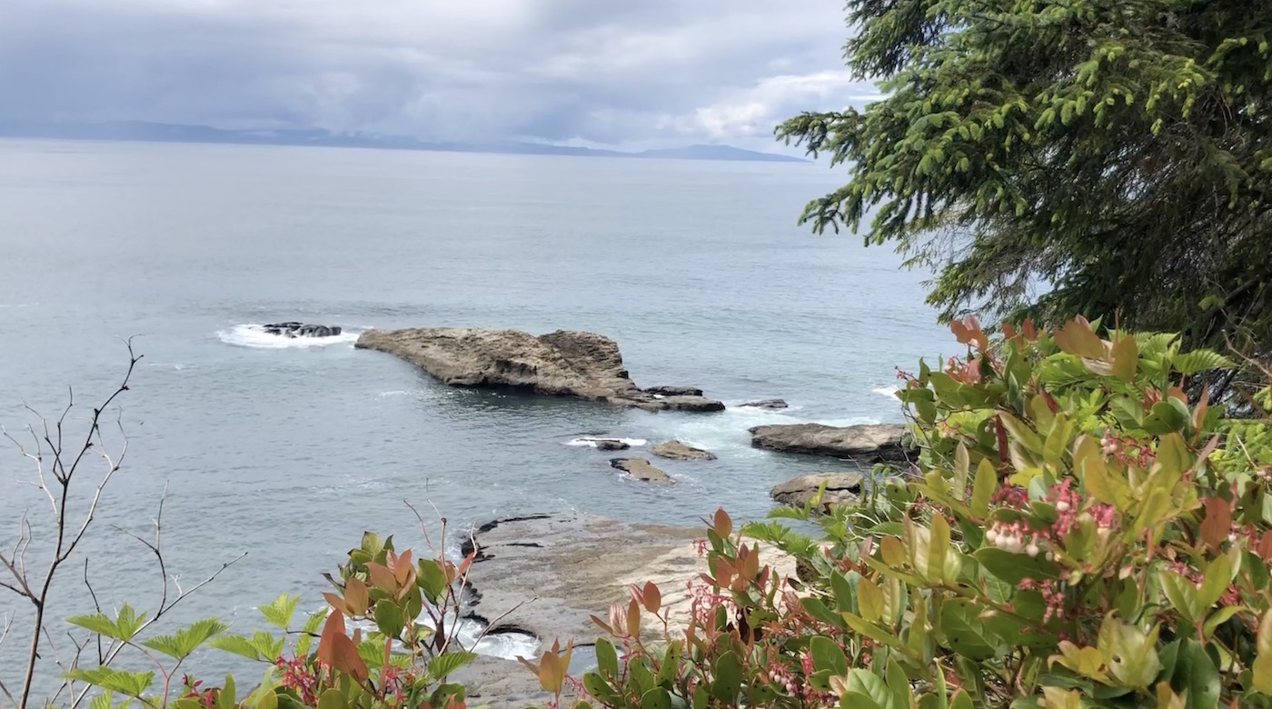
On our final morning we woke at the break of dawn and got hiking. We saw plenty of tents setup across the entire stretch of Bear Beach at all 3 different campsites. It was a Friday now and many more hikers were out trying to take advantage of the upcoming weekend. The cliffs along the beach will recede and you will see the markers to head back into the forest. When we hiked the trail in June 2021 there was a serious washout incident earlier in the year. It destroyed the stairs up the cliffside in a portion of this section. Fortunately, a small rope had been tied to the bushes just to the right of the washout through the brambles. Finding the route/rope was the toughest part, but once we did, it was no problem to bushwhack our way up. This section of the trail was by far the easiest and the soil was quite firm the whole way through. We arrived at Mystic beach to meet many campers and day users already enjoying its beautiful shoreline. I didn’t take too much notice of the waterfall or visit the sea cave since we were ready to get back to the vehicle for clean clothes and a bite to eat. The final 2km from Mystic to the China Beach trailhead involves some stairs and one last suspension bridge before you are home free. In a few short hours we made it back to the truck and enjoyed our favourite post hike snack. A crisp apple from the cooler.
My Overall Thoughts About The Juan De Fuca Trail
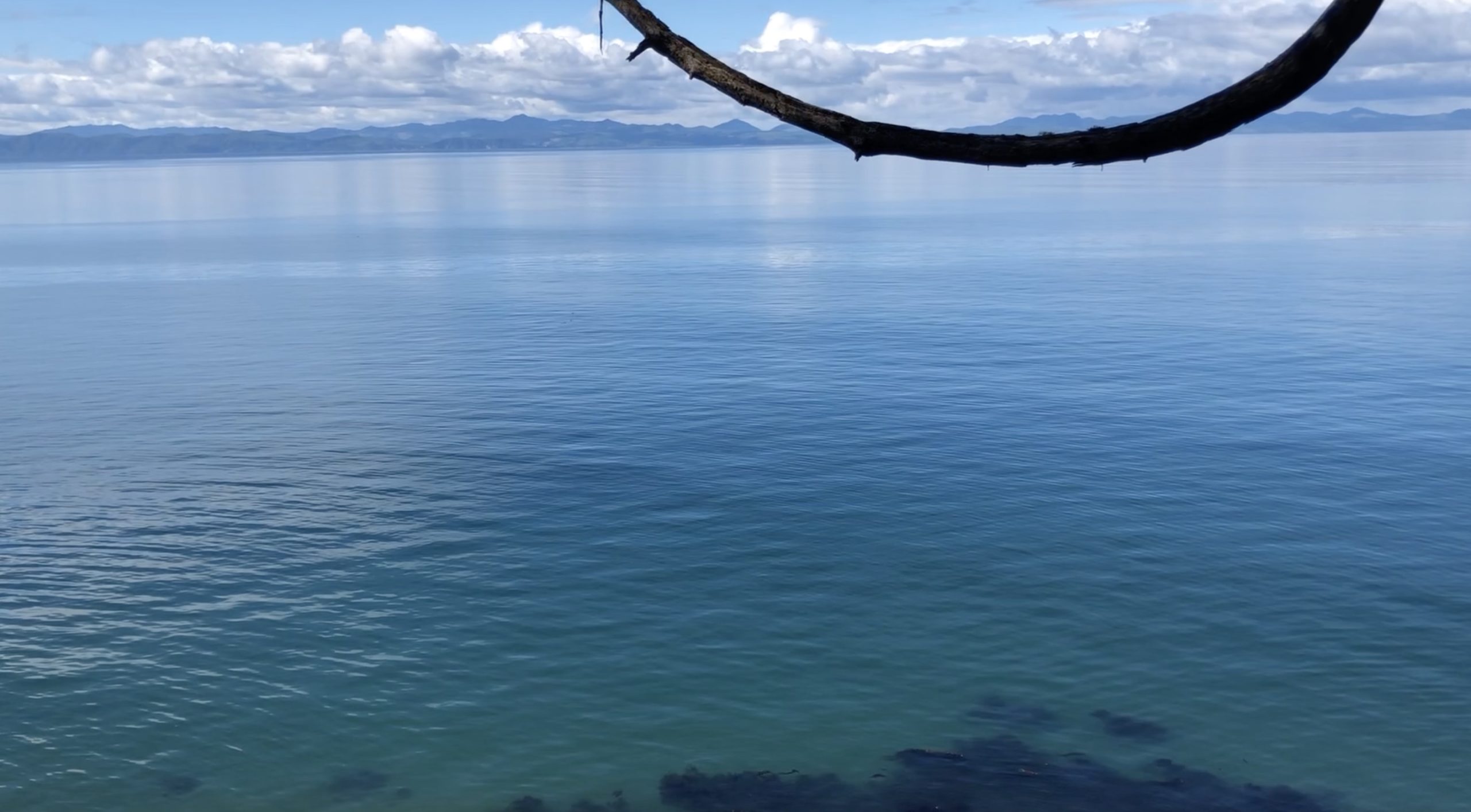
This trail was an exceptional experience. Since we hiked in early June we were practically the only ones on the trail and we lucked out with sunshine every single day. Although the mud and unmaintained/broken portions of the trail slow you down, they add an element of adventure which makes the trail much more exciting. I would recommend the Juan De Fuca trail to both experienced backpackers and first timers, It takes you to another world and its truly an experience you will never forget.
Wildlife on the Juan De Fuca Trail
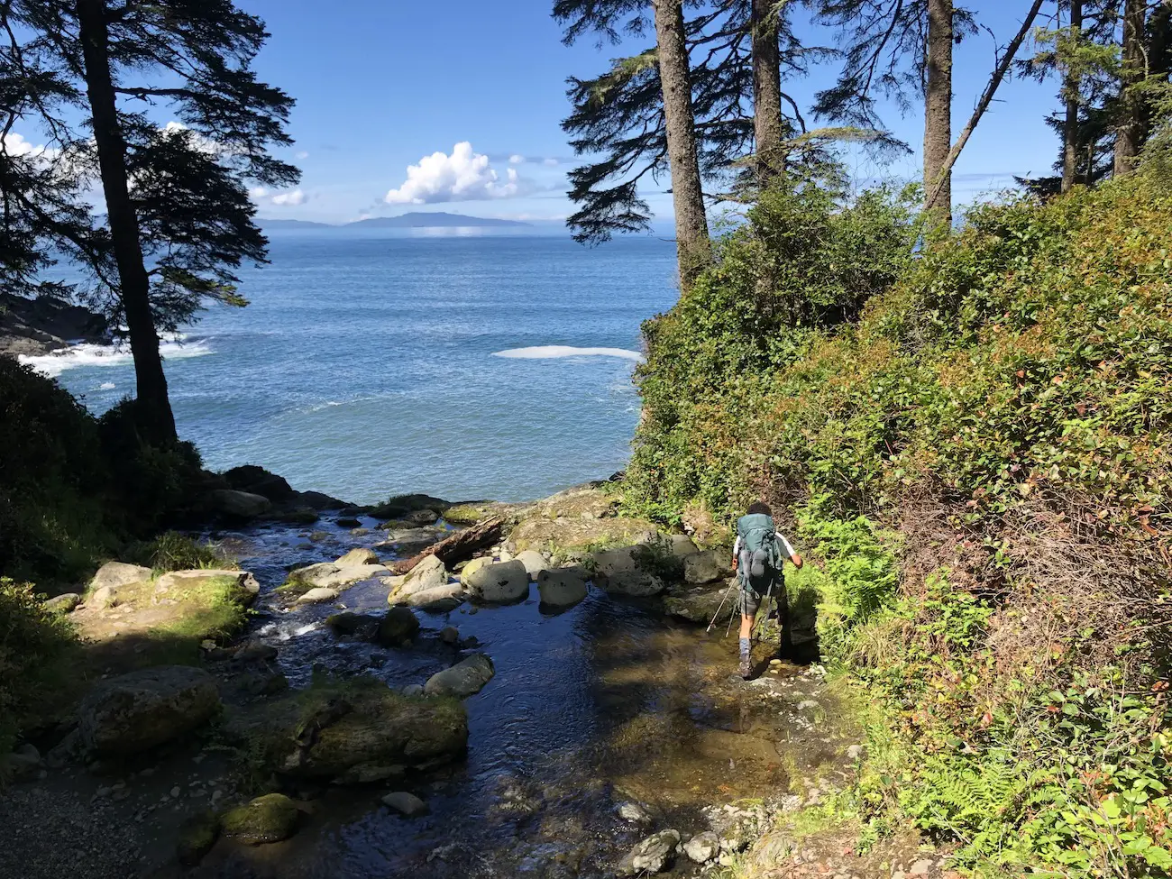
We didn’t stumble across any ‘exciting’ wildlife on the trail. However, Cougar, Black Bear, Whale, Deer and Wolf sightings aren’t uncommon. We constantly admired the abundant sea otters, seals, starfish, sea urchins, sea anemones and sea cucumbers along the way. Remember to be prepared for wildlife sightings, give animals lots of space, and carry along bear spray for a worst case scenario.
Gear Packing List
Worried about what to pack on the Juan De Fuca trail. Check out my post HERE to read about what I bring along on every single overnight hike.
What Foods to Pack
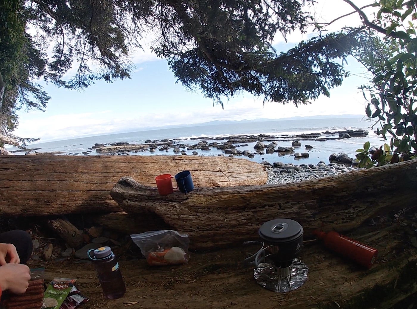
On overnight hikes we usually have coffee and sometimes oats with nuts in the morning. For lunch we typically have snacks and a protein bar. Our entrees are usually pastas (sidekicks), curry, chili, rice & tortillas or instant mash potatoes. Our 4 days of food is broken down as follows.
Day 1
Breakfast: 2 whole wheat tortillas with peanut butter
Lunch/Snacks: Nuts, Jerky, Brookside Chocolates, Banana Chips
Dinner: Uncle Bens Mexican Ready Rice, small white tortillas (we had makeshift tacos with the rice in the tortillas)
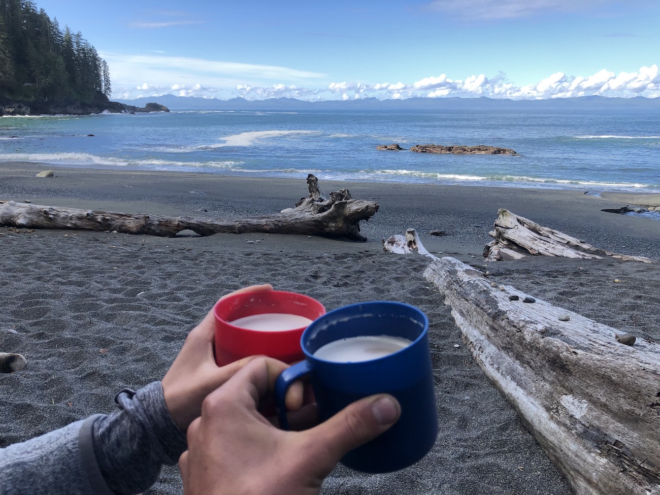
Desert: Tea & Chocolates
Day 2
Breakfast: Instant Coffee and Instant Oats
Lunch: Cliff Builders Bar
Snacks: Nuts, Jerky, Brookside Chocolates, Banana Chips
Dinner: Sidekicks Penne with Pepperoni Sticks and Instant Mashed Potatoes Appetizer
Day 3
Breakfast: Instant Coffee and Instant Oats
Lunch: Cliff Builders Bar
Snacks: Nuts, Jerky, Brookside Chocolates, Banana Chips
Dinner:
Day 4
Breakfast: Instant Coffee and Instant Oats
Water Sources?
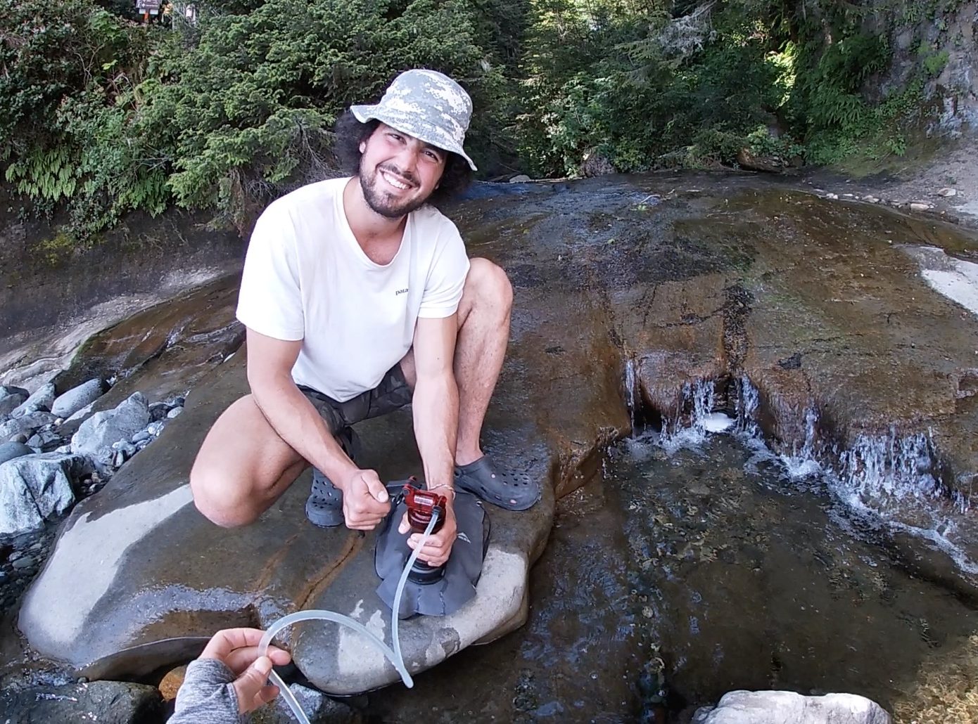
Water sources are bountiful along the entire Juan De Fuca Trail thanks to all the creeks that cross the trail. All of campsites have creeks nearby that can be utilized for drinking/boiling water. Ensure to treat all of the water you consume on the trail. We use a MSR Miniworks EX Pump Filter and although it takes some elbow grease it works great for us. Many hikers prefer Squeeze and Gravity filter bags. Since the creeks are quite low, if you choose to use water tablets, bring along some sort of mesh to run your water through to reduce sediment and other floaters in your water.
Additional Tips
- June and September are the quietest months with decently warm weather
- Bring firestarter in case it is damp
- Gaiters are a must! (The mud is as deep as everyone says)
Video Links
Frequently Asked Questions
How Difficult is the Juan De Fuca Trail?
The Juan De Fuca Trail looks easy on paper, but the trail itself can be challenging because of the complex coastal terrain. The trail is extremely muddy, rocky and rooty. There are many obstacles and fallen trees to climb over and under when hiking the trail.
How Long is the Juan De Fuca Trail?
The trail stretches 47km along the Juan De Fuca Strait on the spectacular Western Shoreline of Southern Vancouver Island.
How many days does it take to hike the Juan De Fuca Trail?
The Juan De Fuca Trail is best hiked as multi Day Backpacking trip. Hikers typically take 3-5 Days to complete the trail.
Best time to hike the Juan De Fuca Trail
June and September are the ideal months to hike the Juan De Fuca Trail. This is because the weather is still fabulous and there is less traffic than the summer months.
Where is The Juan De Fuca Trail?
The two trailheads China Beach and Botanical beach are located between Jordan River and Port Renfrew on the beautiful coastline of Southern Vancouver Island.
Do you need to reserve campsites on Juan De Fuca Trail?
You do not need to reserve campsites. Camping is on a first come first serve basis. You will need to have a backcountry wilderness camping permit for each night you plan to spend on the trail
How much does The Juan De Fuca Trail cost?
You are required to purchase a Wilderness Backcountry permit for each night you spend on the trail. This permit costs $10 per person/night
Are dogs allowed on the Juan De Fuca Trail
Yes - Dogs are allowed on the trail and in the campsites
Are there bears on the Juan De Fuca Trail
Yes - Black bear encounters are common along the trail. Remember to bring your bear spray and to give wildlife lots of space!
Do I need gaiters for the Juan De Fuca Trail?
Gaiters are not mandatory, but they will make you a hell of a lot more comfortable. There is lots of mud on the trail and Gaiters will help to keep you dry and keep mud and other debris out of your socks and hiking boots
The Most Important Thing To Remember
Marshmallows!!!!!
We were kicking ourselves for forgetting them every night once we had the fire going.
Hopefully this guide was helpful and will help you get out there and conquer the Juan De Fuca Trail this year.
Let me know if you have any questions in the comments and I would be more than happy to help!

