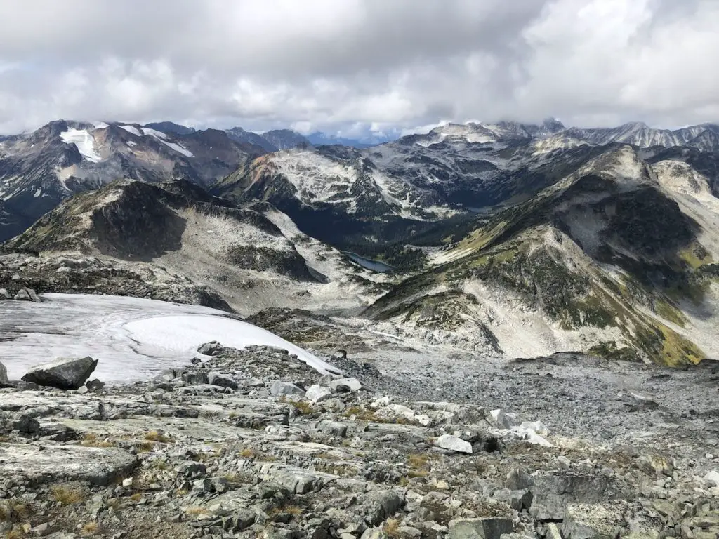
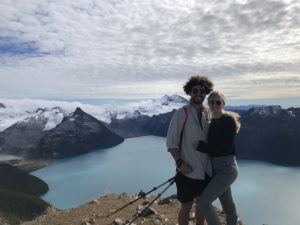
Mount Rohr is a fantastic overnight/day hiking opportunity in Duffey Lake Provincial Park. The route to Rohr Mountain is rugged and passes by the beautiful turquoise coloured Rohr lake before branching off to the summit. The views from the summit are phenomenal and provide hikers with an unmatched view of the most prominent glaciers and summits in the region.
Check out our Mr Rohr Video HERE
Remember the Backcountry Basics
- Carry your Survival Kit & Essentials
- Let someone know where you’re going with a Trip Plan
- Know how to avoid negative wildlife encounters
- Practice Leave No Trace to keep the wilderness pristine
- Carry a Satellite Communicator like SPOT X
Table of Contents
The Breakdown
| Distance (Round Trip) | 15km |
| Elevation Gain | 1162m |
| Time (Round Trip) | 6-8 hours |
| Dogs | Yes |
| Camping | Yes (Backcountry) |
| Season | July-Sep |
| Difficulty | Difficult |
| Remoteness | Moderately Trafficked |
| Highest Point | 2,423m |
Driving Directions
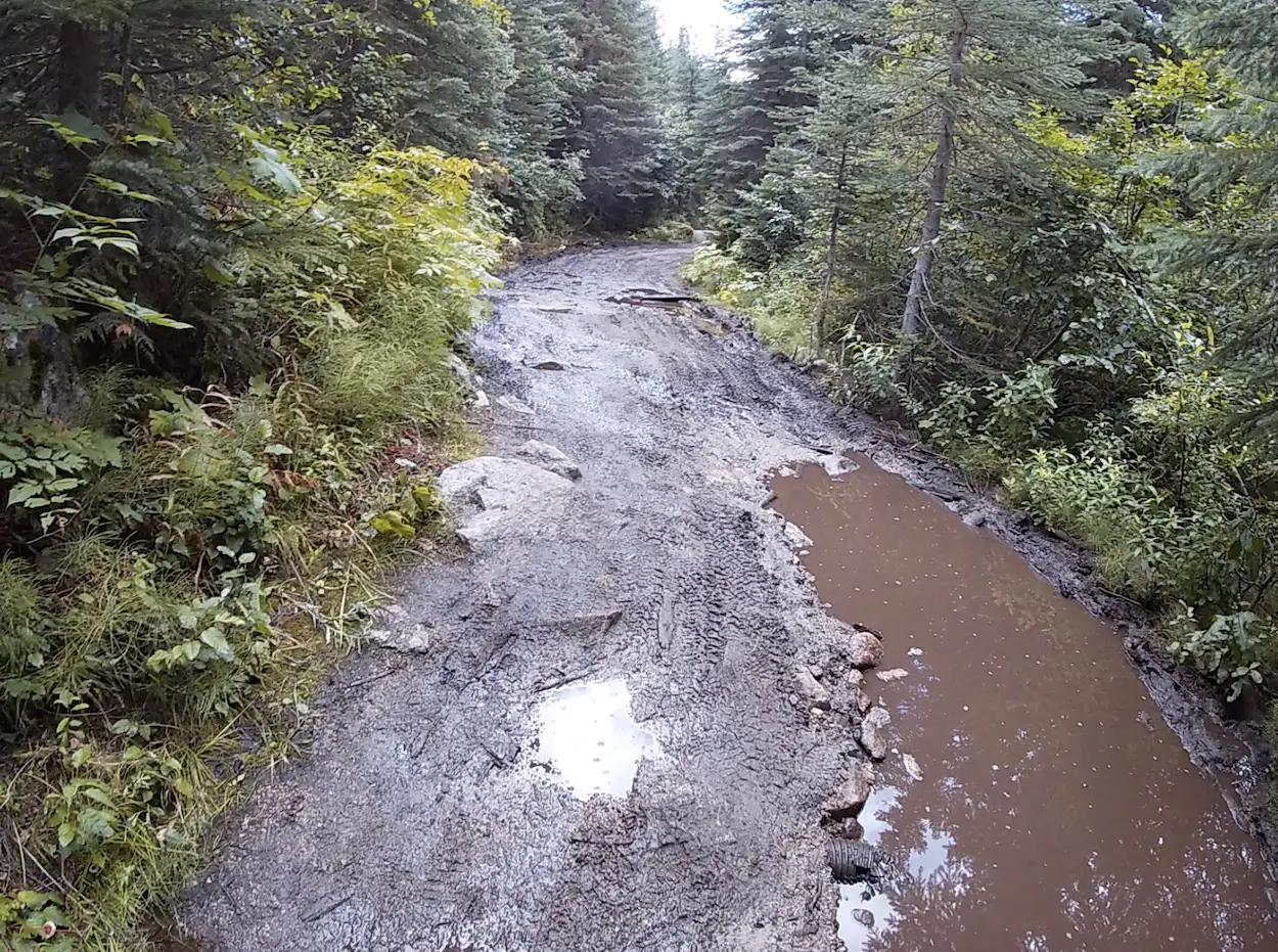
From Mount Currie continue North on BC-99 for 26.4km. The Cayoosh Creek FSR is on the left 3.8km past the Joffre Lakes parking lot. If you pass a sand Shed on your right you have gone too far. Where you park from here will depend on the type of vehicle you have and your comfort level with offroad driving. Most vehicles should have no problem on the first kilometer of the logging road and there are a number of pull offs to park on the right side. If you have a high clearance 4×4 vehicle you will be able to drive the 2.5km to the trailhead. The last 1.5km of the road gets rough, uneven, and muddy so you’ll have to take it slow. Please be aware that this trail can get very busy in the summer and there may not be enough parking on the 4×4 road. If this is the case, don’t be an arse and block the road, turn yourself around and hike up from the bottom. Don’t sweat it if you like keeping your car clean and want to hike up the logging road, it’s a super easy walk from the bottom and you may even end up walking faster than some of the 4×4 vehicles can drive.
The Route
The trail is unmaintained but is very well marked. There was only one section at the beginning near a creek that we got turned around on because we stopped following flashes, so ensure you keep your eyes up for markers in the trees at the beginning and you will have no problems.
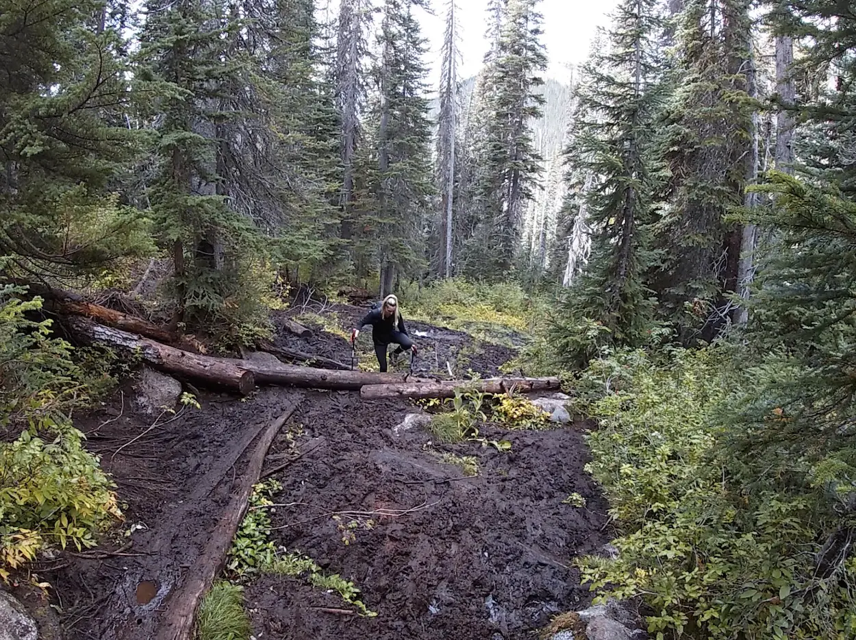
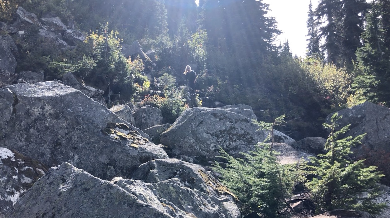
The hike to the lake is only 2 kilometers from the trailhead but takes most hikers around an hour due to muddy portions and a steep slippery boulder field climb just before the lake. Take your time going up the boulders, I saw an older gentlemen slip and tumble down the rocks (thankfully he was okay).
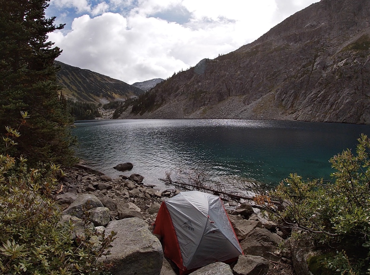
Rohr lake is dreamy and it’s turquoise water color and rock backdrop somewhat reminded me of Floe Lake. Most overnight hikers set up camp around the shoreline of the lake and you will see many suitable options if you take a walk around. There are some more private camping spots if you continue along the trails to the far side of the lake.
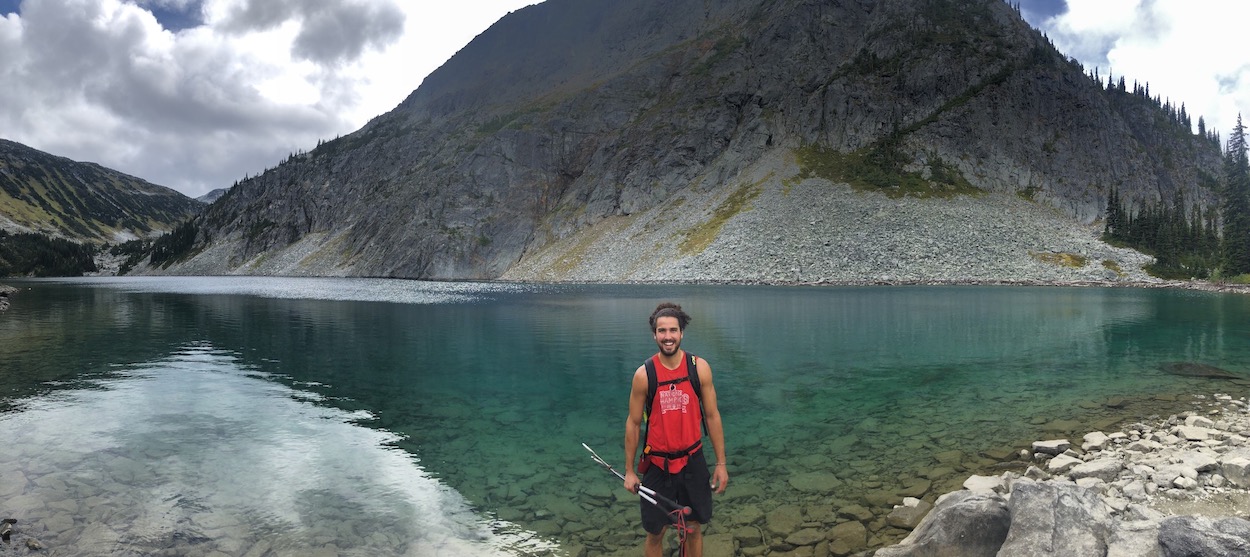
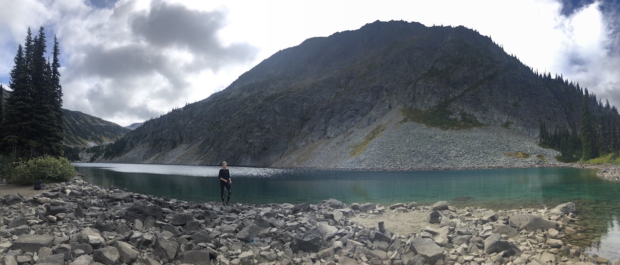
Once you’ve had your fix of the gorgeous lake views the trail continues around the left side of the lake. At approx. the 4.5km mark you will begin to hike through the alpine meadow and will get a great view of Rohr Lake from above. If you are just planning on hiking to the lake, make sure to hike up to this viewpoint because it’s fabulous.
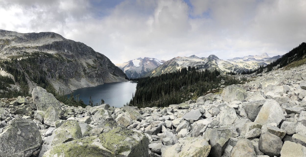
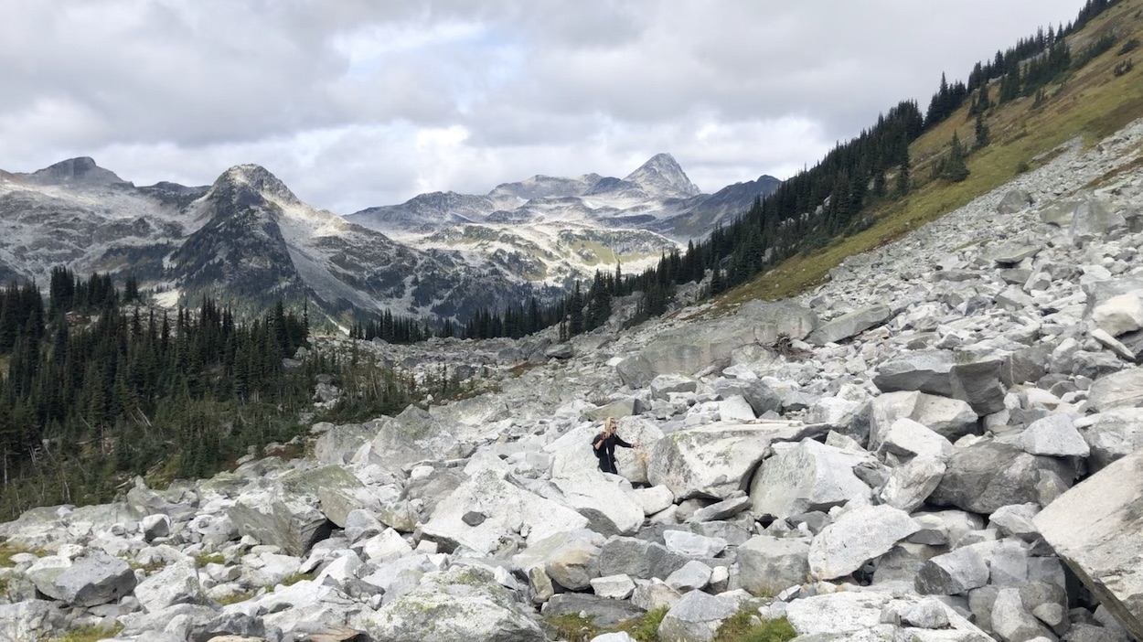
You will continue to traverse through the meadow passing by beautiful flowers and streams. The trail will begin to become rockier and you will be walking on boulders once again. At approx. the 6.2km mark you will begin the ascent to the Rohr Mountain Summit. There are some rock cairns providing a rough route but if you have some hiking experience/common sense it’s easy enough to pave your own trail while following the steps of past hikers. There aren’t any exposed sections on the way up to the summit.
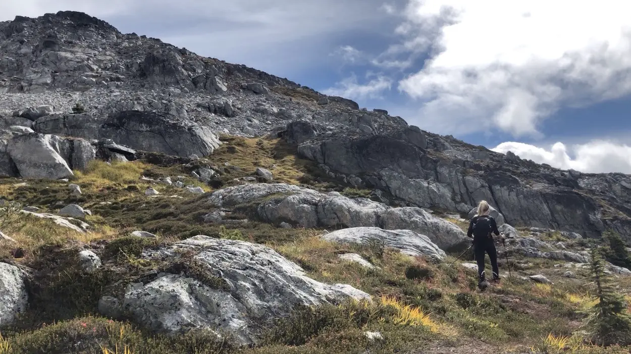
The views atop Rohr Mountain are epic. There is plenty of room to hang out up top and admire the glaciers, alpine lakes, and peaks that make Duffey Lake Provincial park so special. Make sure you take a good long walk around the summit to best enjoy the unbelievable 360° views.
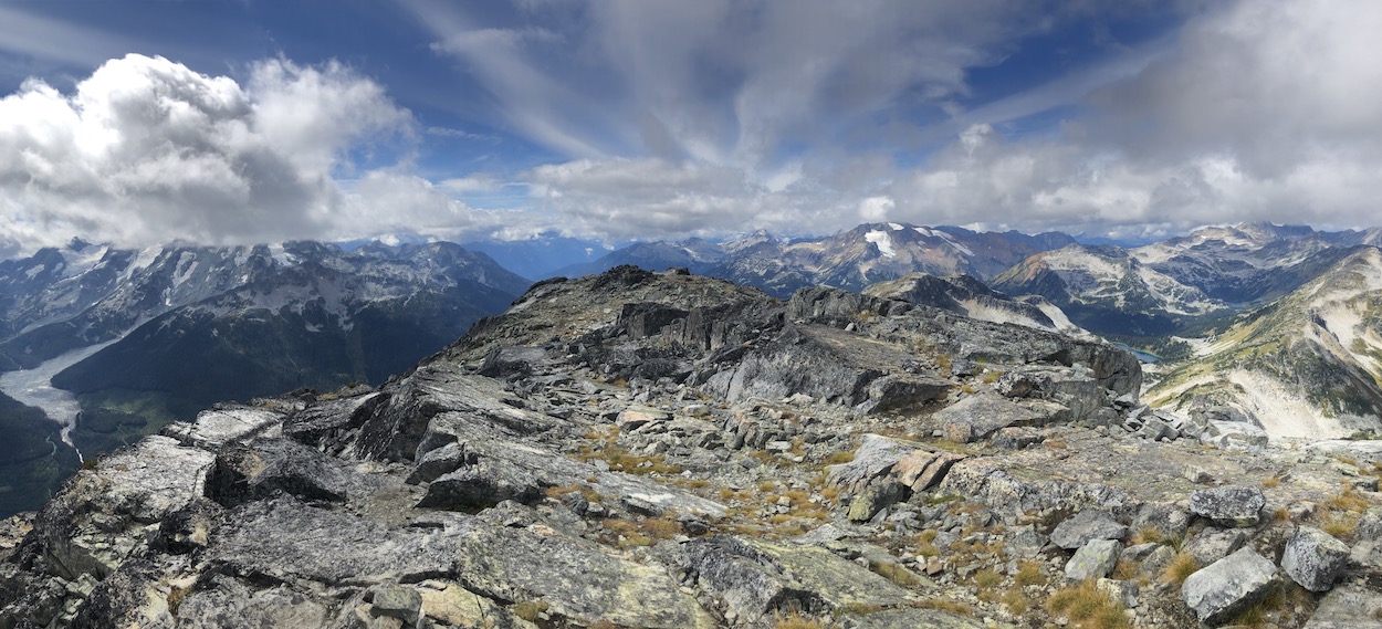
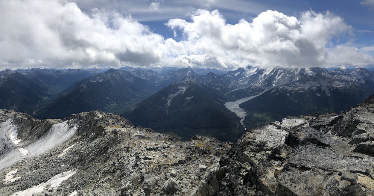
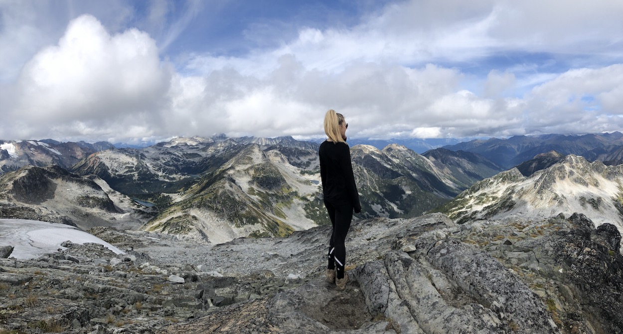
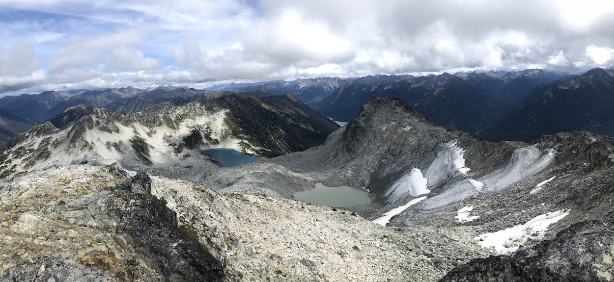
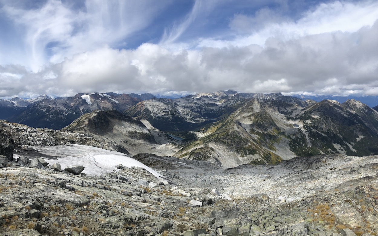
On the way down we roughly followed a similar route as the way up but since we had the advantage of peering down, we managed to make things a little easier. The entire trail took us about 5 hours and 45 minutes, including a long 45 minute break at the summit and 15 minutes at Rohr lake on the way up.
Camping
Spending the night a night at Rohr lake makes for an awesome adventure and is a great way of experiencing the area. There are no backcountry passes or reservations required, it is wilderness camping. As always, try and setup your tent on rocks or areas where tents have been set before. Ensure you hang your food up trees away from everyone’s tents and if you have to poop or pee distance yourself from the lake, and for the love of god, BURY IT. Rohr lake is getting increasingly busy, so be ready for a bit of a crowd up there if you are hiking/camping on a weekend in the summer.
Let me know if you have any questions in the comments?
Happy Hiking!

