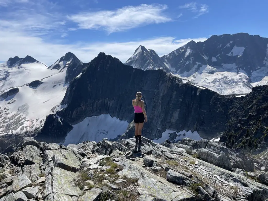
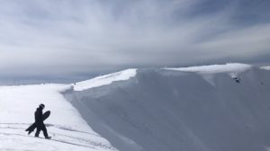
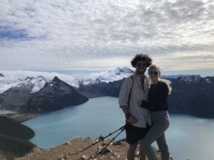
The Abbot Ridge trail is a complete and utter stunner from start to finish. It exhibits all the goodness Glacier National Park has to offer, packed into a single day hike. The trail climbs relentlessly at the beginning but, you won’t even notice the 1400m elevation gain as you’ll be so awestruck by the 360 degree views of the mammoth peaks, alpine meadows and glaciers hiding around every corner.
This trail is a great option for intermediate and expert hikers alike. Those with a bit more confidence and experience can trail-blaze their way to a hidden lake & Abbot Peak!
If you only have time to hike one trail in the park, this is a great option as it allows you to set your eyes on almost every Glacier and notable peak in the area!
Remember the Backcountry Basics
- Carry your Survival Kit & Essentials
- Let someone know where you’re going with a Trip Plan
- Know how to avoid negative wildlife encounters
- Practice Leave No Trace to keep the wilderness pristine
- Carry a Satellite Communicator like SPOT X
Watch our Abbot Ridge hiking video HERE
Table of Contents
The Breakdown
| Distance (Round Trip) | 14.5km |
| Elevation Gain | 1,400m |
| Time (Round Trip) | 5-8 hours |
| Dogs | Yes |
| Camping | At Trailhead |
| Season | July-Sep |
| Difficulty | Difficult |
| Remoteness | Moderate |
| Highest Point | 2405m |
Driving Directions
Glacier National park is quite simply an outdoor lovers heaven. From casual riverside hikes to expert mountaineering missions, Glacier National park is a playground that keeps on giving year round. The trailhead for Abbot Ridge is located East of the Rogers Pass summit at the Illecillewaet Campground, 60km from Revelstoke.
The Illecillewaet Campground is the ideal basecamp for hikers with an unbelievable network of hiking trails stemming off in all directions from the campsite. Each trail is unique and the scenery is so damn beautiful that you could blindfold yourself, pick a direction and you would not be disappointed.
Don’t Forget To Purchase A Parks Pass
Since you are in a National Park you will be required to have a parks pass to park anywhere in Glacier National Park. Every year I purchase a Family/Group Discovery Pass for $150 CAD, it covers up to 7 people in a vehicle and is good for any National Parks location for up to 1 year! If you aren’t going to be visiting for long, or aren’t planning any other trips to a National park you can opt to purchase a day pass for $10 per person. There is a hut at the start of the trailhead where you can purchase your day pass starting at 9am.
The Route
The trail is extremely well walked, marked and straightforward until you reach the end of the Parks Canada trail. Your journey will begin up the gravel path at the end of the parking lot. Keep your eyes on the signs and at the first fork head right towards the Abbot Ridge Trail. You will cross the bridge spanning over the Illecillewaet river and head left in 200m. To your left you can check out the remains of the historic Glacier House which used to house guests and mountaineers beginning 1886.
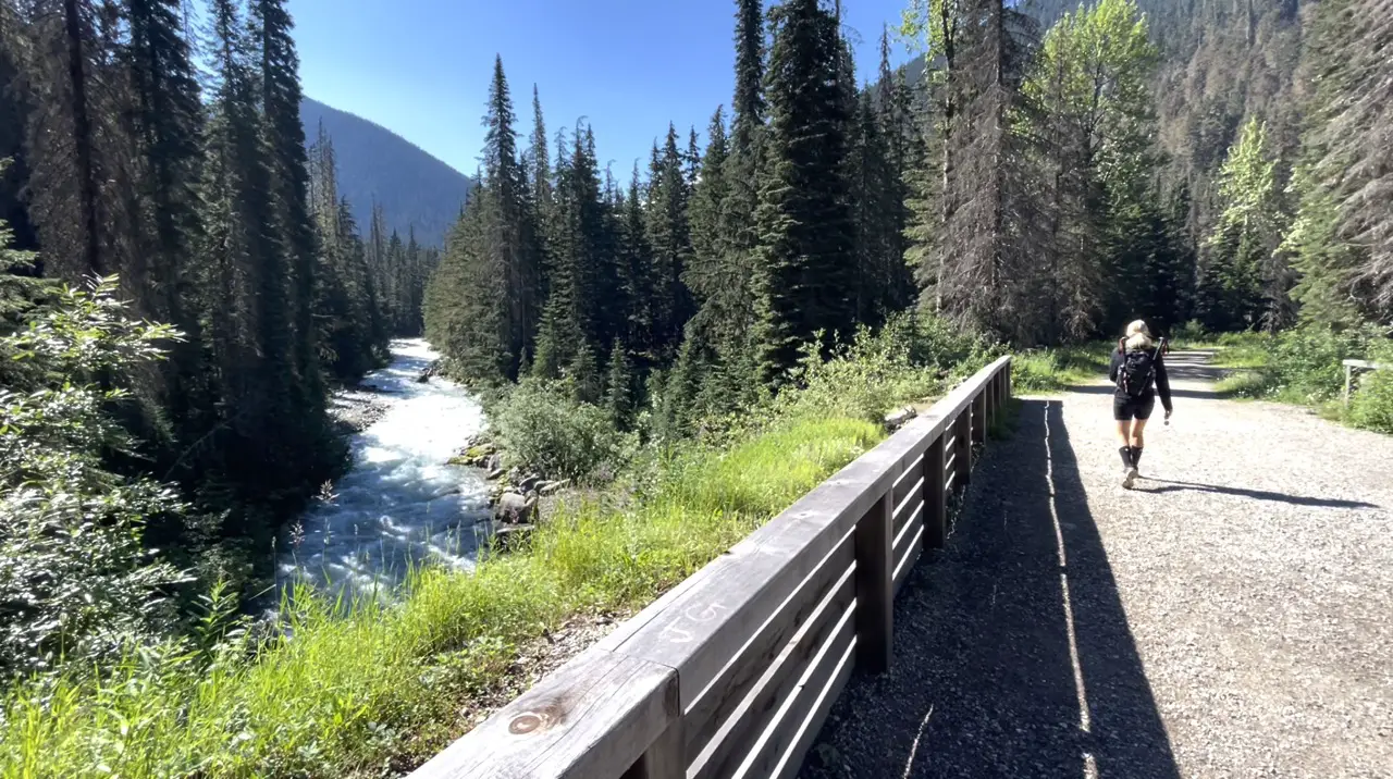
Follow the signs to Marion Lake & Abbot Ridge on your right and let the uphill begin. The first portion of switchbacks through the trees is a slog, but after about 1.3km and a few hundred meters of elevation gain, the forest will become more sparse and you’ll be able to spot the mountain tops.
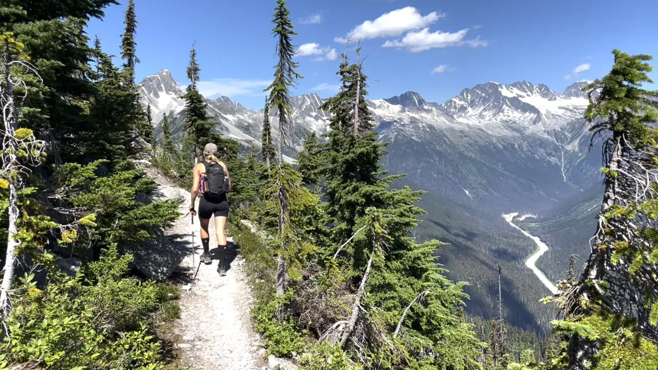
At the 2.5km mark you will arrive at Marion lake. It’s tucked away quietly in the trees with boulders on the backside. This is a great spot to swim on the way down!
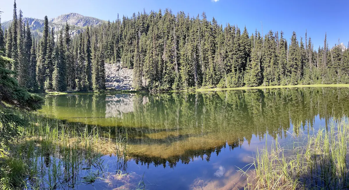
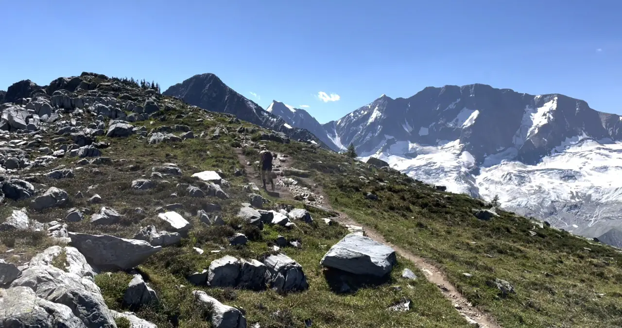
Continue huffing and puffing uphill and shortly after Marion Lake the trail will become boulder ridden and rocky before transitioning to a marvellous alpine meadow at the 3.7km mark.
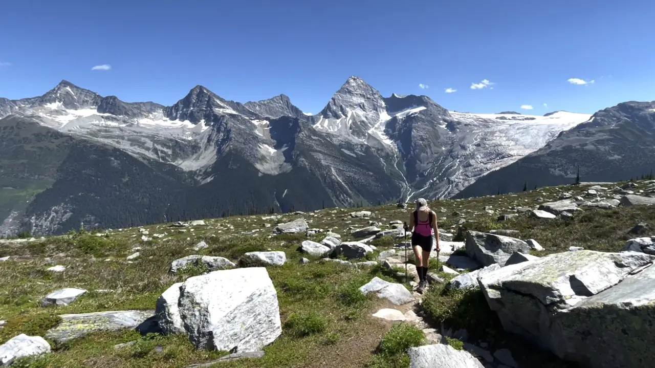
This meadow is like no other I’ve seen highlighted by its vibrant green grass and sea of lichen covered boulders. As you walk through the meadow you can spot the ridge and make out the trail switch backing across and up the marvellous meadow. You may notice a trail to your right, this is the Abbot Observatory and is used to monitor weather conditions by parks staff.
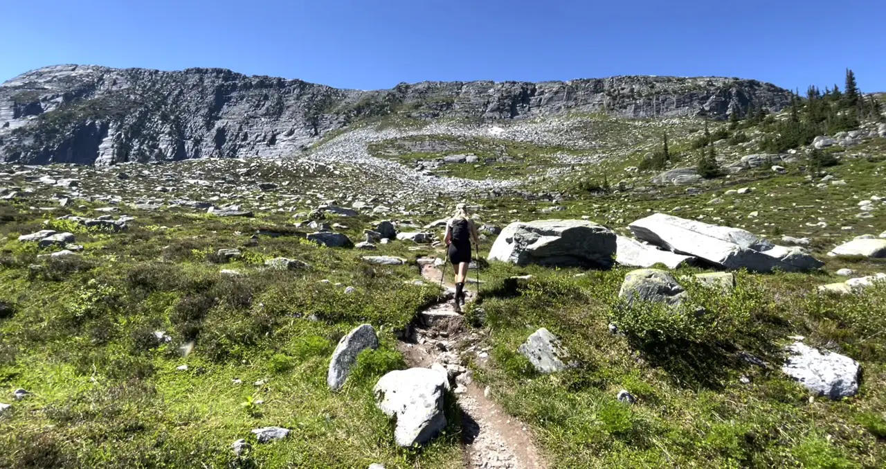
Continue following the trail past the small pond and around to the North side of the ridge. This is where the fun begins.
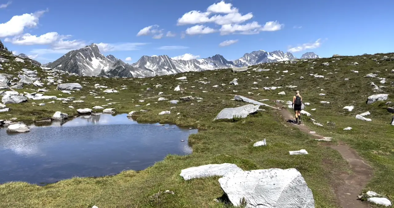
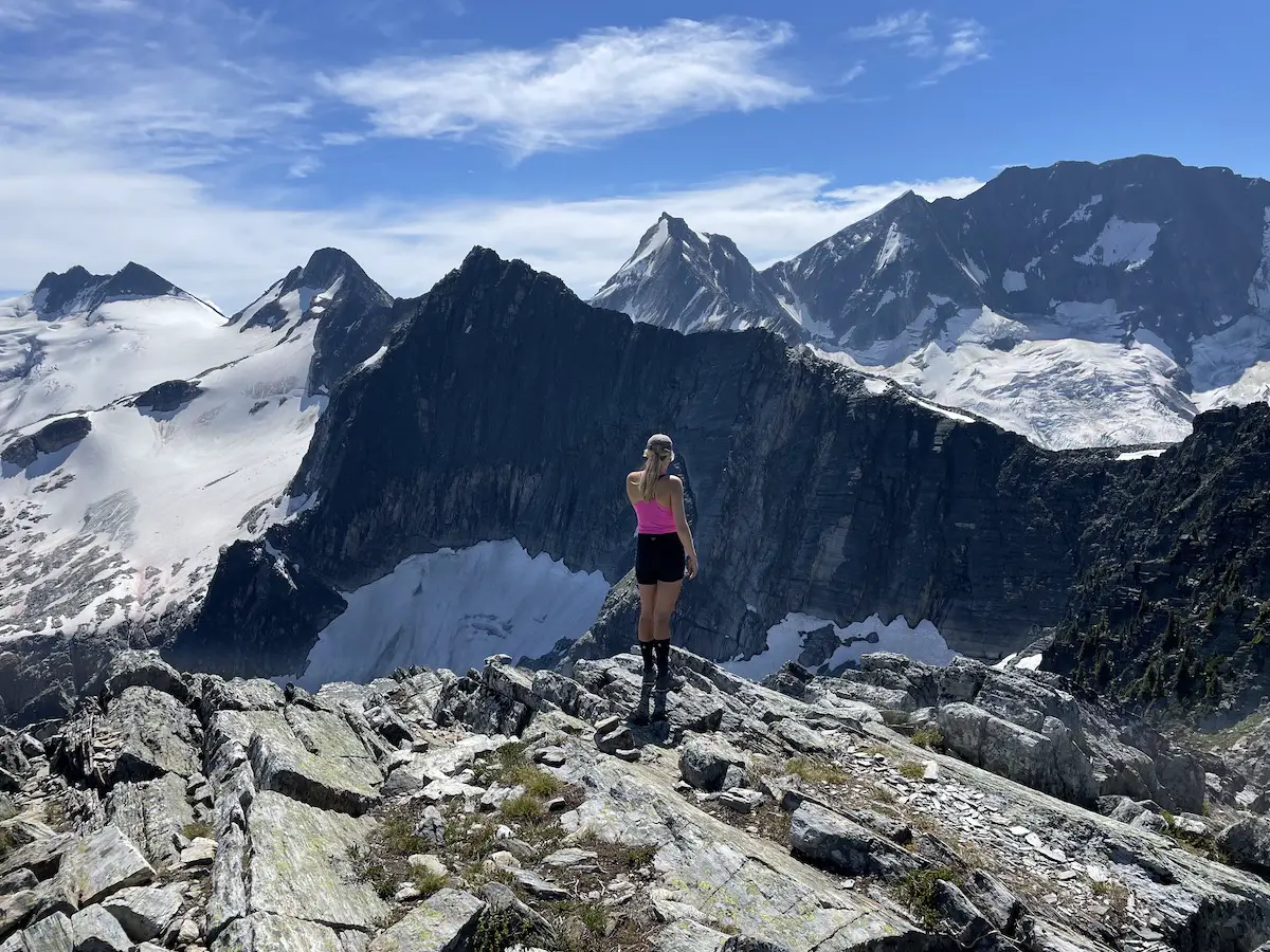
As you round the corner and begin to walk on the ridge the trail will transition from soft soil to rock and you will spot the Bonney Glacier. Walking along the ridge is phenomenal and on a clear day you’ll have 360 degree views of most of the park.
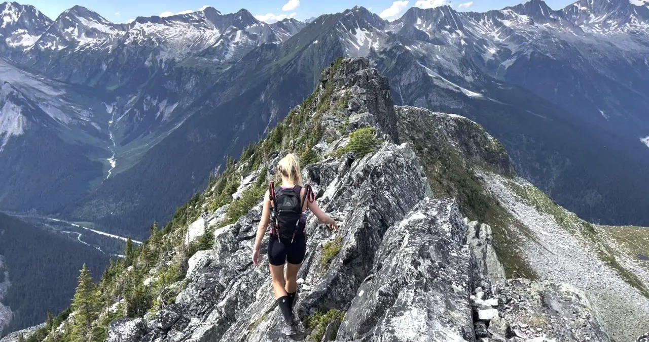
At around the 6.5km mark you will arrive at a post marking the end of the parks Canada trail. For anyone who is squeamish to a bit of exposure (heights/cliffs) I wouldn’t recommend continuing further. But, if you’re feeling confident, have solid footwear and some basic scrambling experience than the remainder of the ridge is unbelievable.
Please Note: I would not recommend hiking further if the weather is bad or if it is snowy/icy still and you do not have the appropriate winter hiking gear.
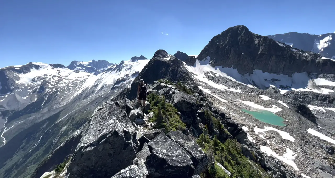
You can easily make out the trail along the top portion of the ridge. Remember to take it slow, use your hands when needed and keep a safe distance from the cliffs to your left.
At the 6.6km mark you will reach a high point on the ridge. At this point you should be able to see the beautiful baby blue glacial lake which was previously hidden to your right. It’s an easy walk down to the lake and is a magical place to stop for an alpine dip.
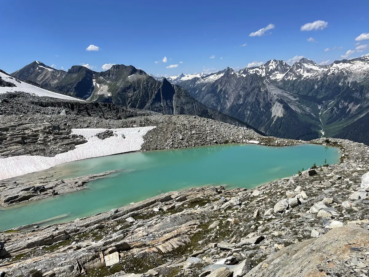
The final 100m scramble up to Abbot peak will require you to do a little bit of route finding. There are rock cairns placed both on the left side (closest to the cliffs) and in the centre. We hiked up on the left side but this was way more exposed, spookier and a bit more technical then sending it up the middle.
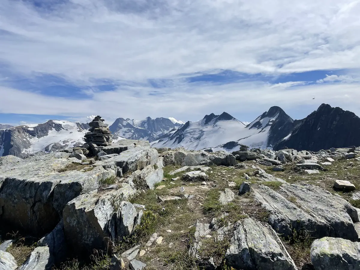
Get ready to be smiling ear to ear when you arrive at the summit, it’s unbelievable. The huge jagged peak closest to the Abbot summit is mount Afton. You will also get first class views of the Lily Glacier, Swanzy Glacier, Asulkan Glacier and even the Illecillewaet Glacier in the distance. When we visited we had the summit to ourselves and enjoyed the sunshine and breeze for the better part of an hour.
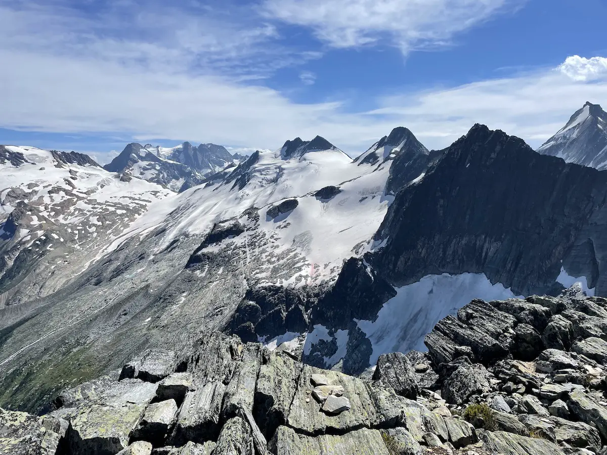
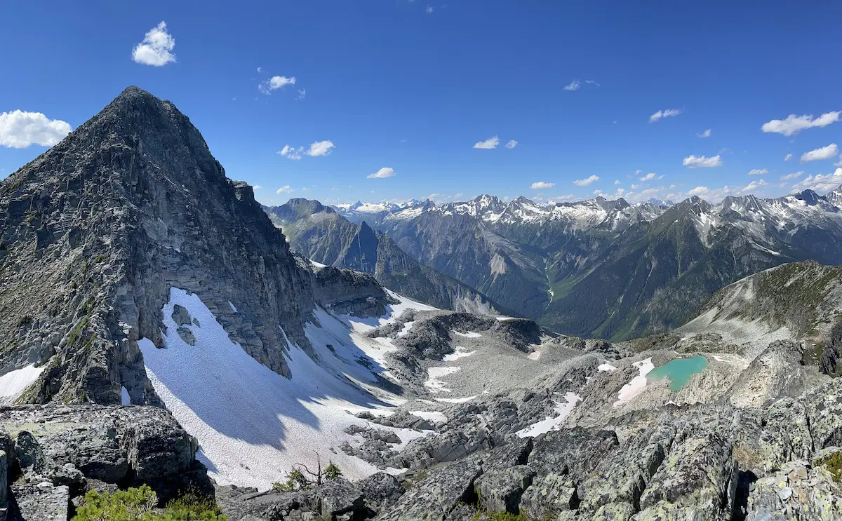
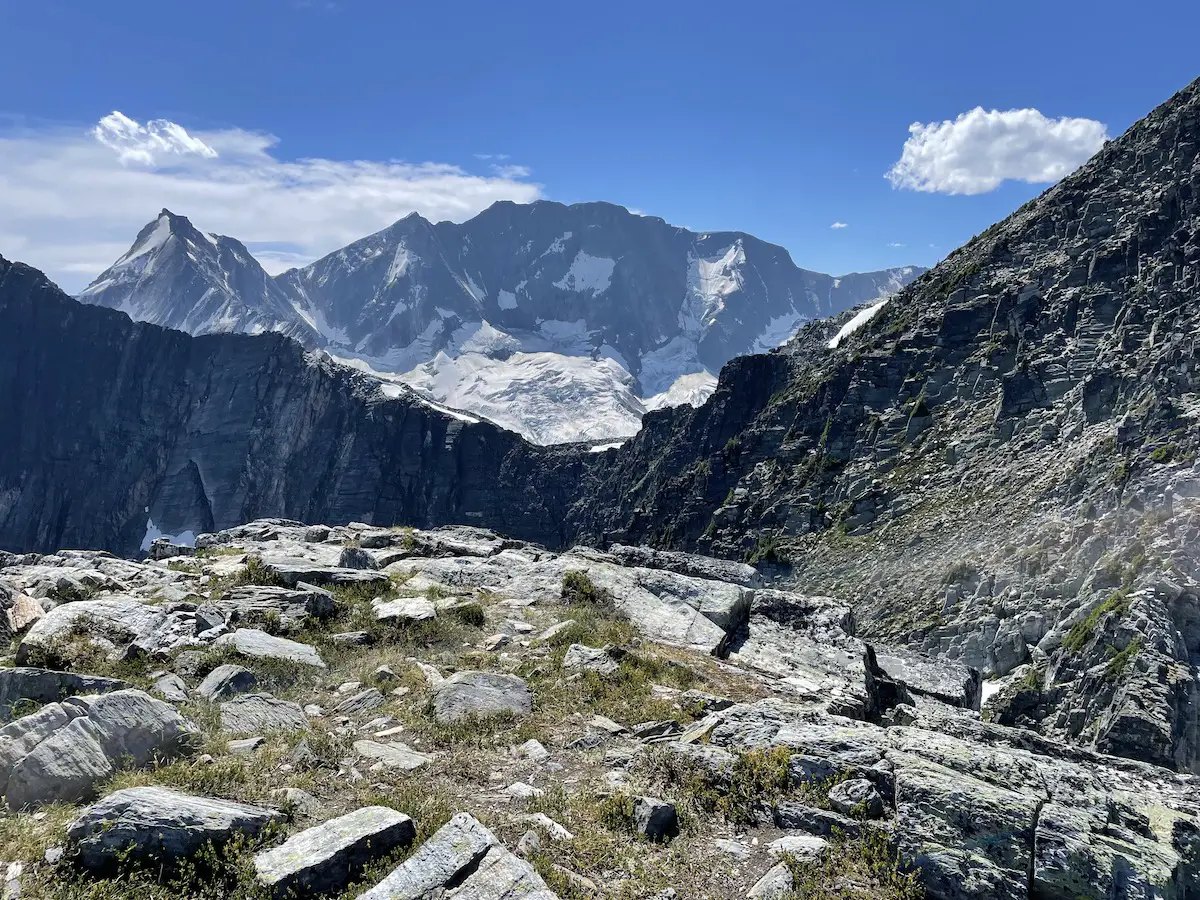
When you’re ready to hike down, first, apologize to your knees then retrace your steps down from the summit, back to the ridge, and down to your vehicle/campsite.
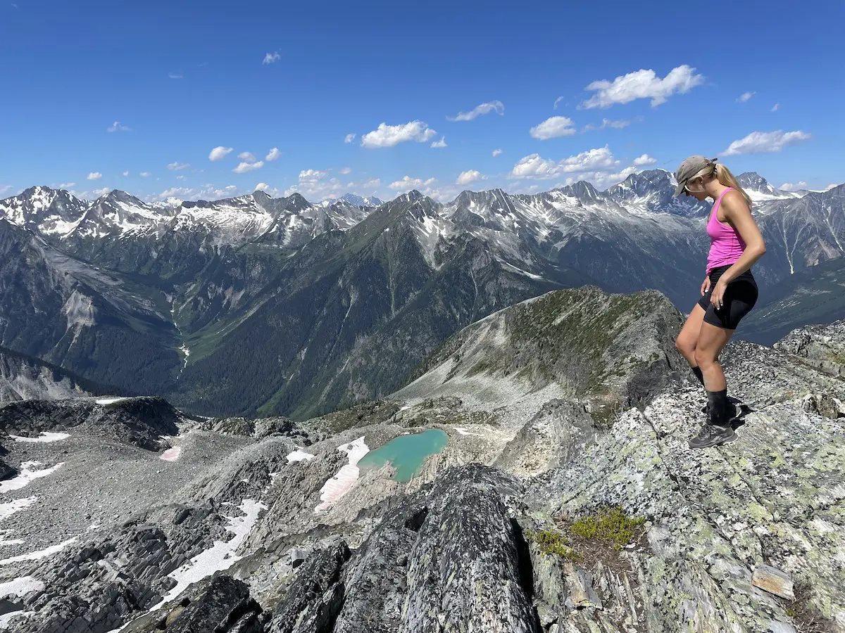
If time permits and the weather is decent I would 100% recommend going for a dip in the Alpine lake below the ridge or making a pit stop at Marion Lake for a cool down before getting back to camp.
If you want some more intel check out our Abbot Ridge Hiking Video HERE
Happy Hiking!

