Nothing beats a hike close to home! The Mount Harvey trail is a rite of passage for any Lower Mainland hiker but, is not for the faint of heart. Tucked nearby to Vancouver, this knee shatteringly steep trail gains 1260m of elevation in approximately 5.6km.
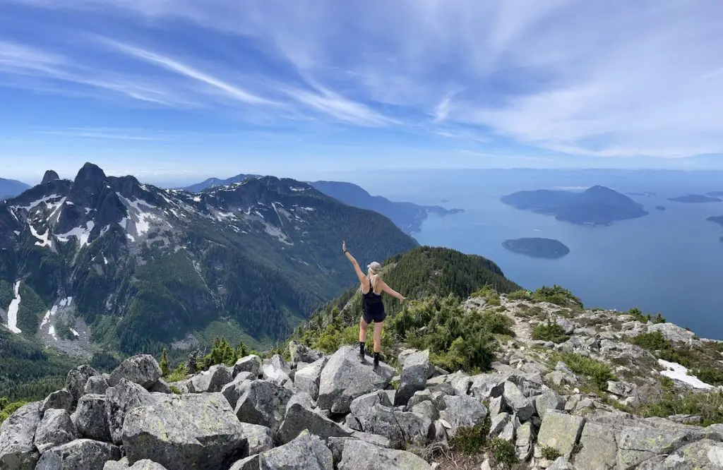
Pain and suffering is the price of admission but the show is spectacular. Mount Harvey is my favourite viewpoint in the Lions Bay area and offers an amazing perspective of the North Shore Mountains, Sea To Sky, Howe Sound, Bowen Island, Gambier Island, The Sunshine Coast and of course the Mighty Lions.
Depending on your level of fitness and pace the trail can be completed anywhere between 4-7 hours. It is an ideal half day mission and can be extended into a longer loop by connecting with the Howe Sound Crest trail.
Remember the Backcountry Basics
- Carry your Survival Kit & Essentials
- Let someone know where you’re going with a Trip Plan
- Know how to avoid negative wildlife encounters
- Practice Leave No Trace to keep the wilderness pristine
- Carry a Satellite Communicator like SPOT X
Table of Contents
The Breakdown
| Distance (Round Trip) | 11.2km |
| Elevation Gain | 1,270m |
| Time (Round Trip) | 4-7 hours |
| Dogs | Yes |
| Camping | No |
| Season | July-Oct |
| Difficulty | Difficult |
| Remoteness | Well Trafficked |
| Highest Point | 1652m |
Driving Directions
The Mount Harvey trail is located in the village of Lions Bay. To get to Lions Bay Drive North on BC-99 towards Squamish/Whistler. Exit toward Lions Bay Avenue from the highway. Follow Bayview Rd and Mountain Drive to Sunset Drive. You can also just follow the signs towards the ‘school’ and then continue up the road from the school until you reach the Sunset Drive Trailhead parking area.
Parking can be troublesome in Lions Bay in the summertime. At the trailhead at the top of sunset drive there are only about 15 parking spots and it is PAY parking during summer. There are tons of ‘permit parking’ only areas in Lions bay and if you can’t find a spot to park, or you want to park for free, your only option is to park down at the elementary school, or down at the south end of Mountain view Drive by Timbertop Drive. Parking at the elementary school tacks on a bit of elevation, but it’s a good warm up before you hit the trail and will save you 10 bucks!
Pro Tip: In the Fall/Winter parking is free.
The Route
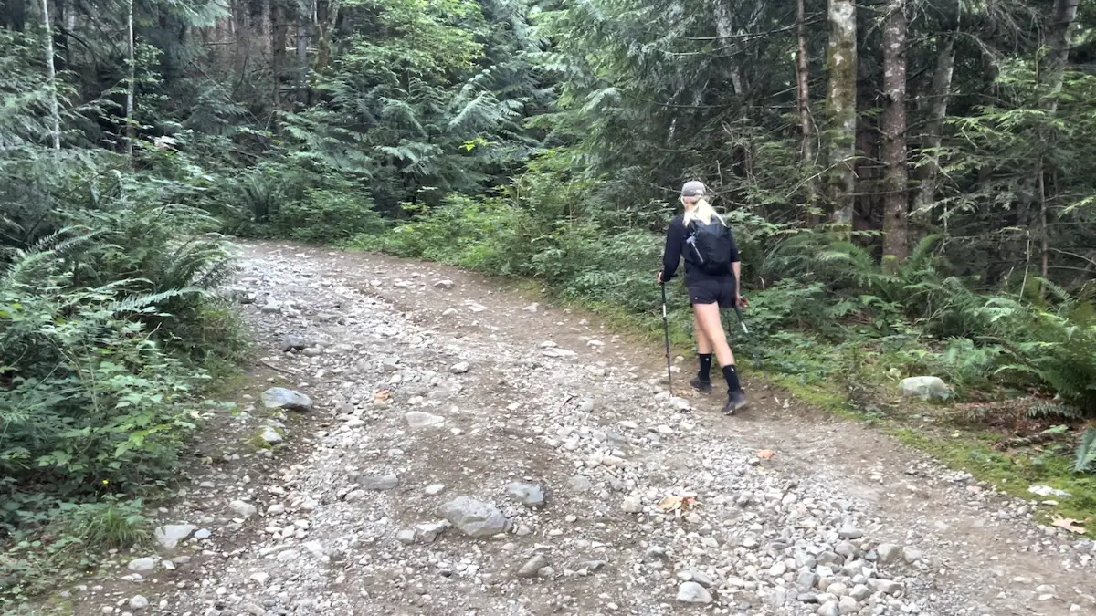
The trail begins on the gravel road just beyond the yellow gate. Get your legs and lungs ready because you will be gaining elevation from start to finish. After 300m you will pass the Harrison trail to your left and then a water station to your right, continue to follow the gravel road. About 15 minutes later at the 1km mark you will arrive at a clearing and fork in the road, stay right at the fork and once again, continue along the gravel road.
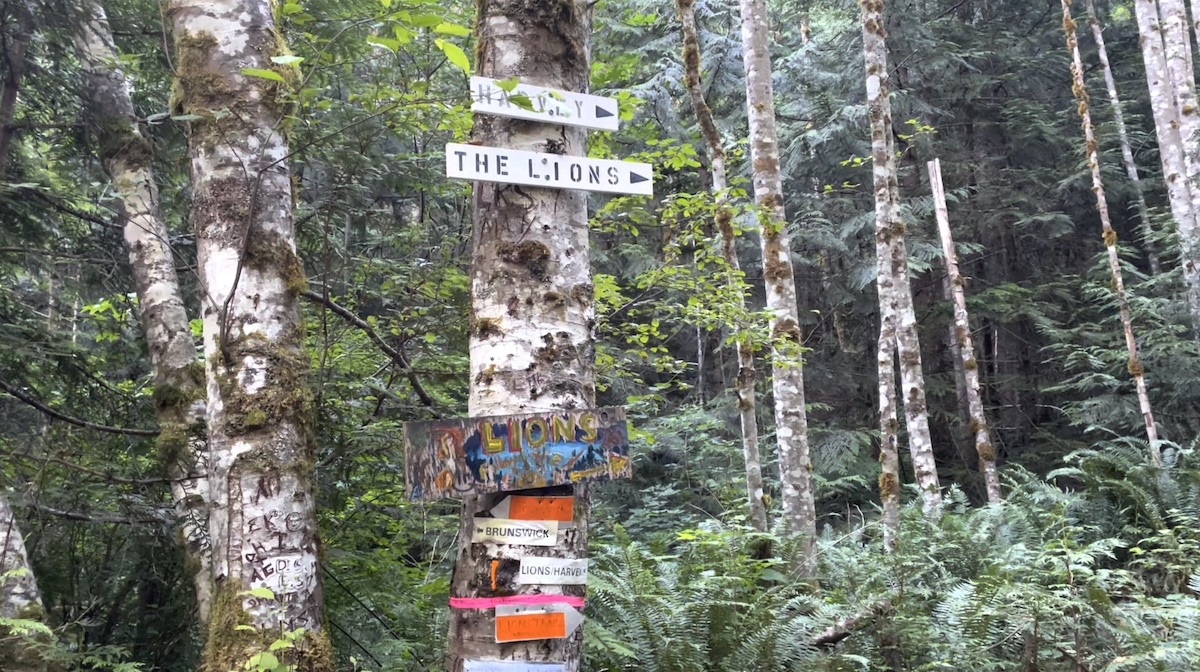
Once you hit the 2km mark you’ll arrive at a junction with a number of signs pinned to a tree. Follow the signs right towards Harvey & The Lions.
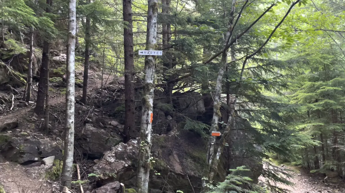
Continue along the logging road for another 300m until you see a tree pinned with a Harvey sign, continue left. Get ready, this is where the fun begins! Natures stairwell (as I like to call it) will lead you 1000m up the mountain in under 3km. It’s steep.
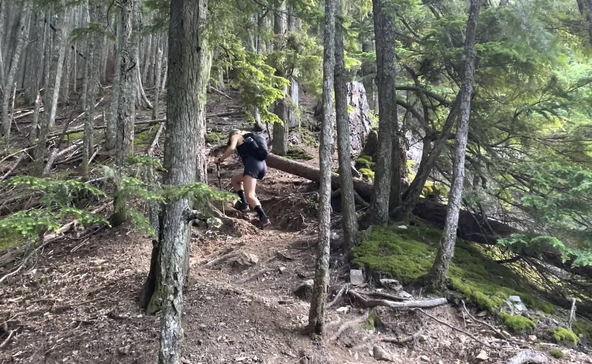
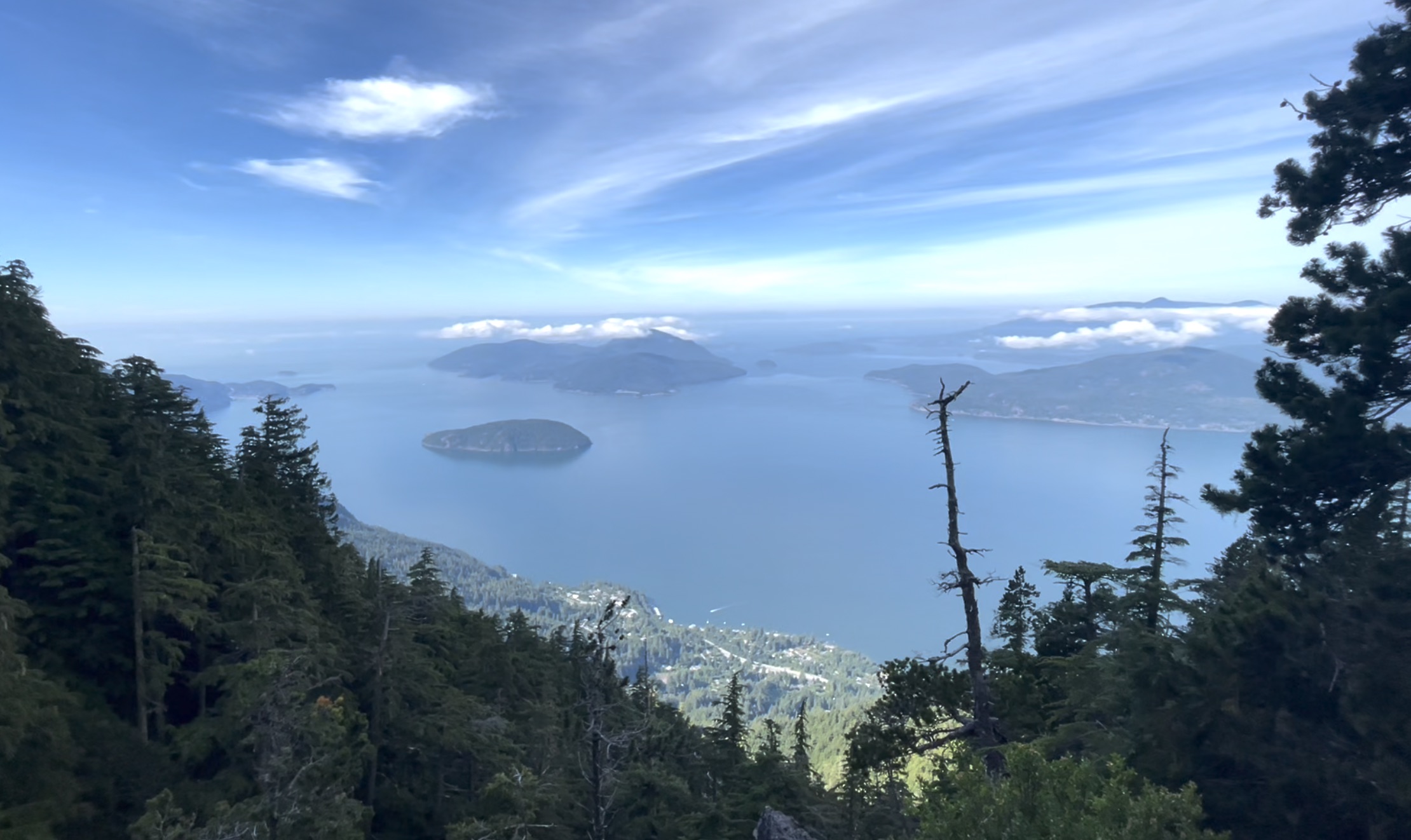
You are going to climb straight up through the trees alongside the Alberta creek valley down to your right. After about 1km you will be rewarded with your first glimpse of Howe Sound, but don’t get too excited, you’ve got some more climbing to do.
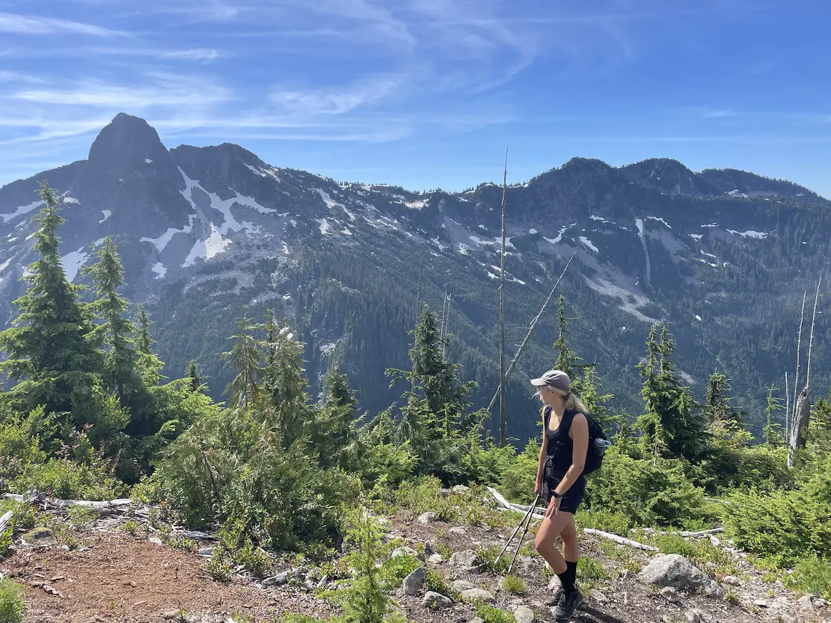
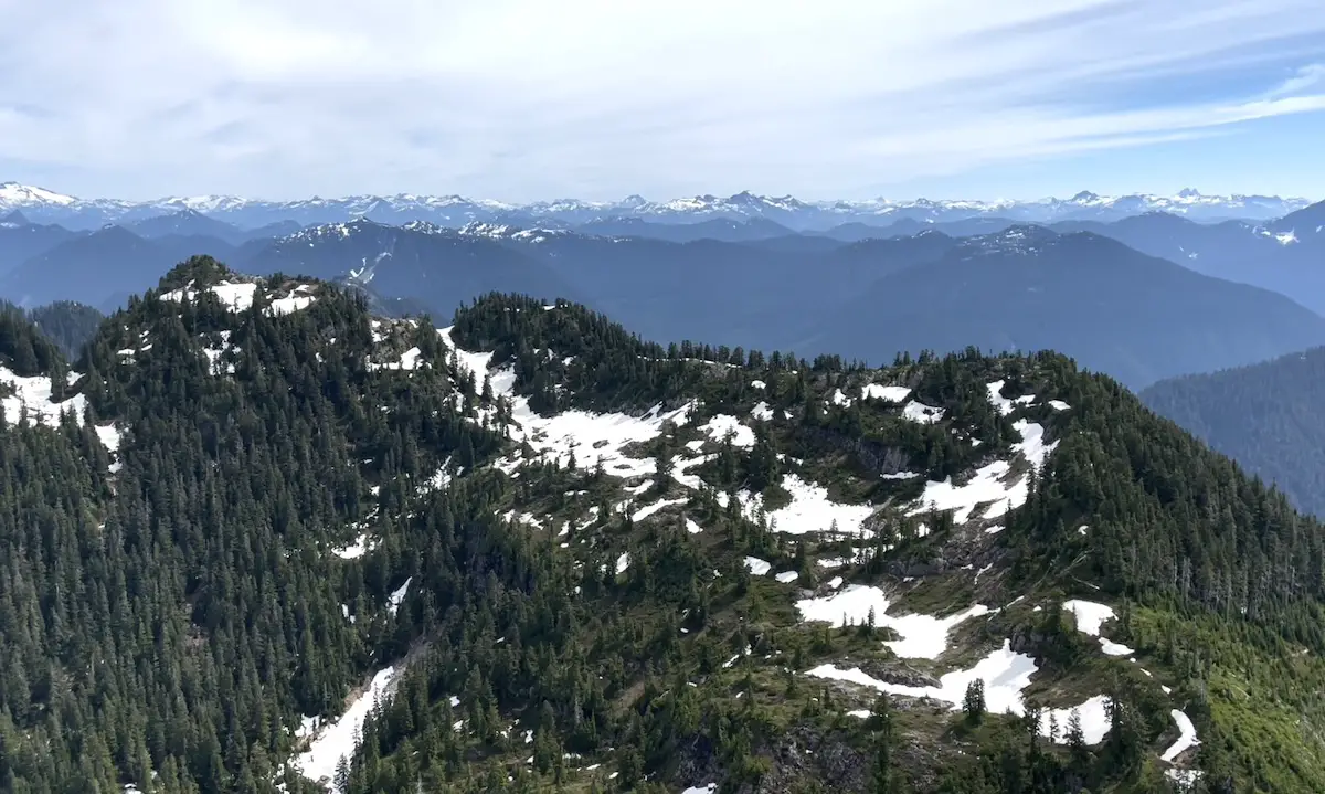
At 4.5km you will arrive at a plateau which opens up to an amazing viewpoint of the West and East Lions.
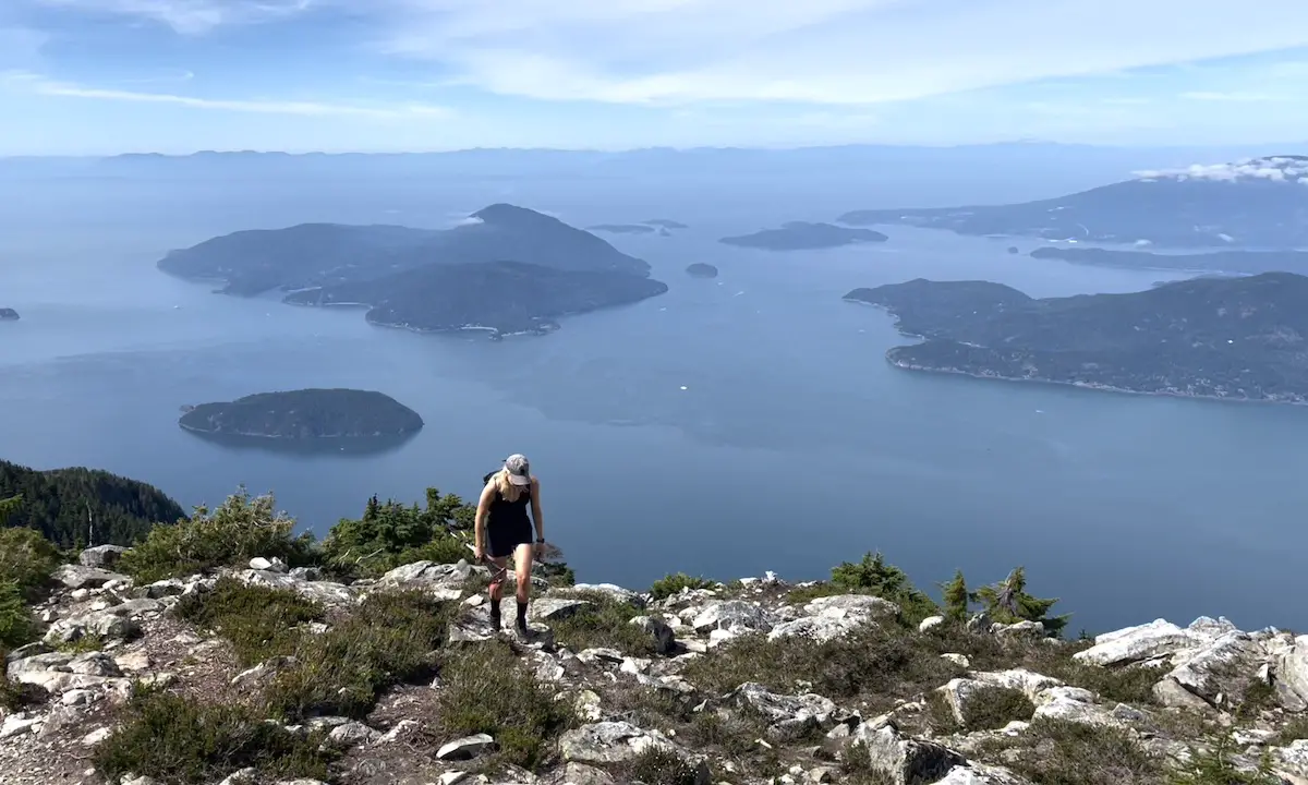
Once you finally catch your breath, this is where the hike gets fun. As you push towards the summit of Mount Harvey you’ll be welcomed by 360 degree views of Howe Sound and the surrounding peaks.
The final scramble up to the summit is very simple and for some won’t even require the use of your hands.
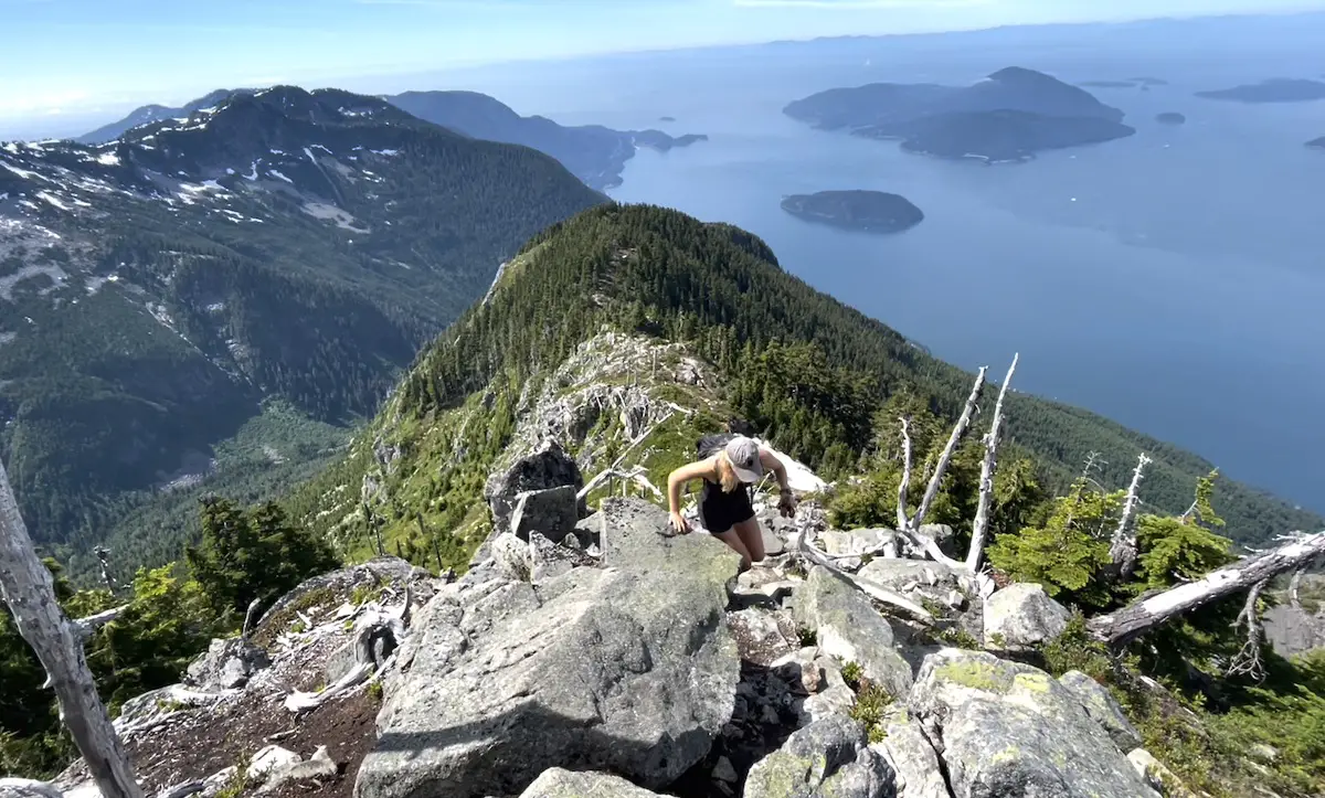
Once you arrive at the summit, bask in the glorious colours of Howe Sound, the evergreen smothered islands and wave hi to the mighty lions watching over the coast.
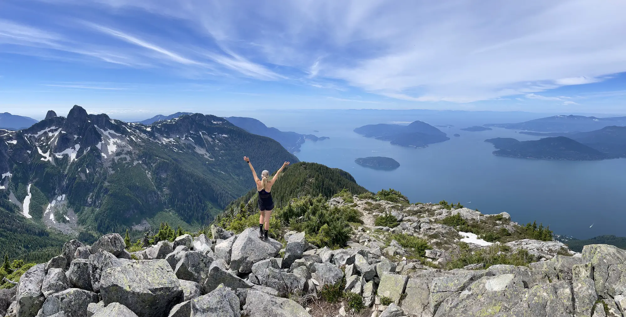
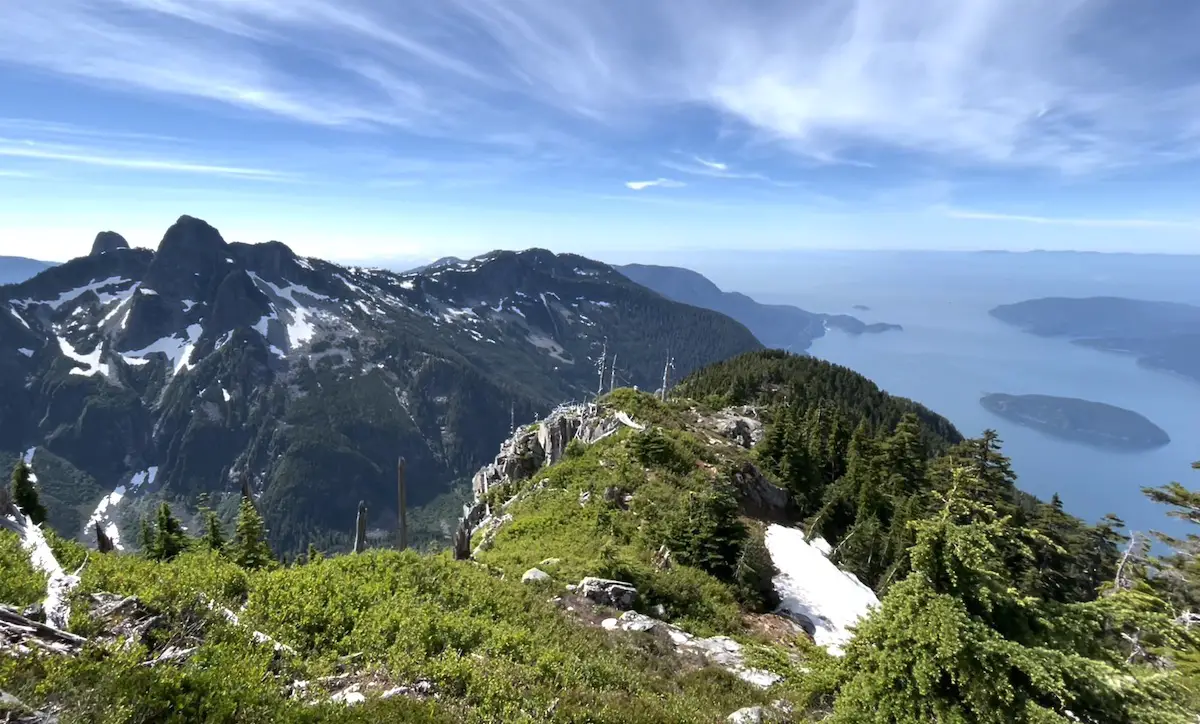
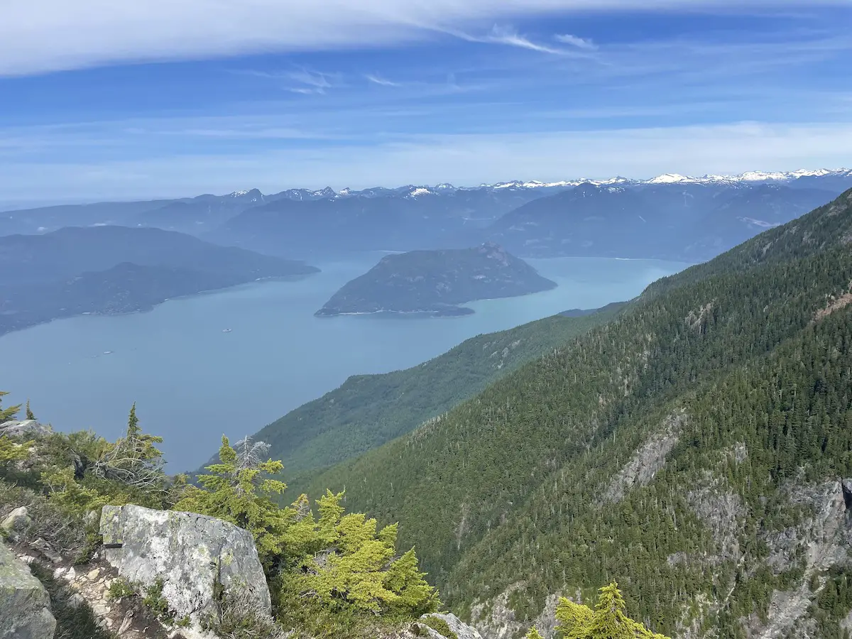
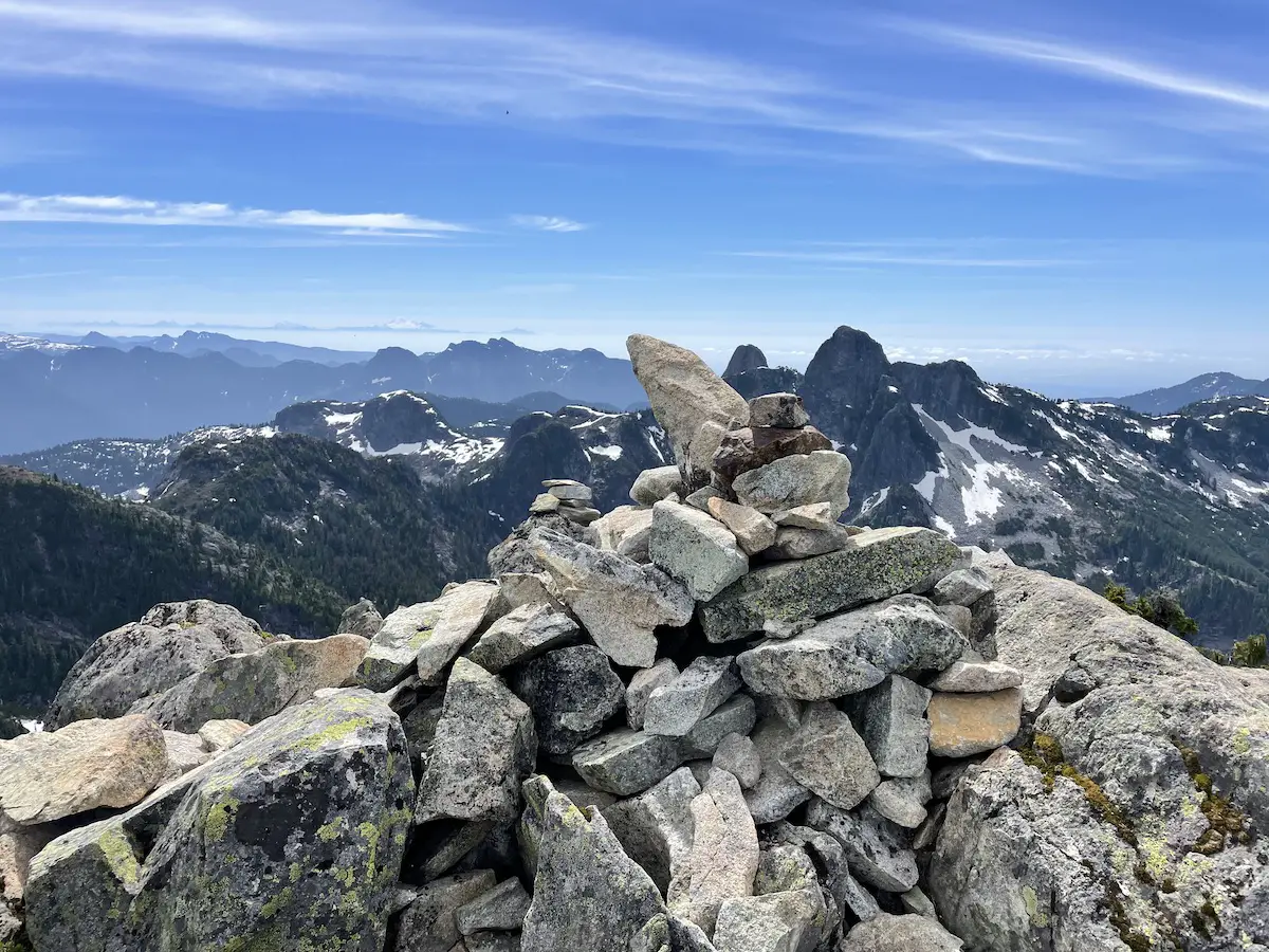
Once your quench for views has been satisfied, follow your tracks back down.
NOTE: For those who want a more serious mission and a longer day you can tack on Brunswick mountain by hiking off the back of Mount Harvey and connecting with the Howe Sound Crest trail.
As always, let me know in the comments if you have any Q’s.
Happy Hiking!




3 Responses
As my living room looks across to Mt Harvey, I’d long wanted to climb it and see the view in reverse. I finally got round to doing it three years ago at the age of 66. I knew it was tough but, despite being a Type 1 diabetic, thought I could still prevail. Unfortunately, and quite unaccountably, my blood sugar crashed almost immediately upon leaving the parking lot. No amount of eating (and I’d brought lots of food and sweets) effectively brought me out of hypoglycaemia until gorging on the summit. My progress was thus painfully slow, running as I was on so little available energy – like those films of climbers above 28k ft. During most of the descent, my blood sugar crashed yet again! but luckily I still had some sweets to see me to the end of the excursion. Was it worth it? Definitely. The views are indeed transcendent – not withstanding my weakened struggle to attain them!
Jeremy man, this is such an amazing story. It honestly made my month :). Thank you for sharing. You’re an absolute legend. What a feeling to look out your window and know you’ve stood up there!!
Thanks for your blog, nice to read. Do not stop.