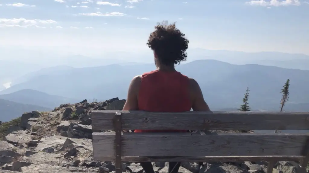
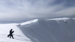
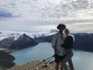
Mt Roberts is a challenging 3.3km, 2-3 hour push, to one of Rossland’s greatest viewpoints. It’s a knee buckling bonanza, but the pleasure overrides the pain as the views from the summit are fantastic. There’s a perfect bench at the top so you can enjoy a picnic, stare into the horizon and give your legs a good rest before punishing them on the extremely steep 840m descent. Make sure to bring at least a litre of water because this one is a human stair climber.
Check out our video of the hike HERE
Remember the Backcountry Basics
- Carry your Survival Kit & Essentials
- Let someone know where you’re going with a Trip Plan
- Know how to avoid negative wildlife encounters
- Practice Leave No Trace to keep the wilderness pristine
- Carry a Satellite Communicator like SPOT X
Table of Contents
The Breakdown
| Distance (Round Trip) | 6.7km |
| Elevation Gain | 820m |
| Time (Round Trip) | 2-4 hours |
| Dogs | Yes |
| Camping | No |
| Season | June-Sep |
| Difficulty | Difficult |
| Remoteness | Quiet |
How To Get There
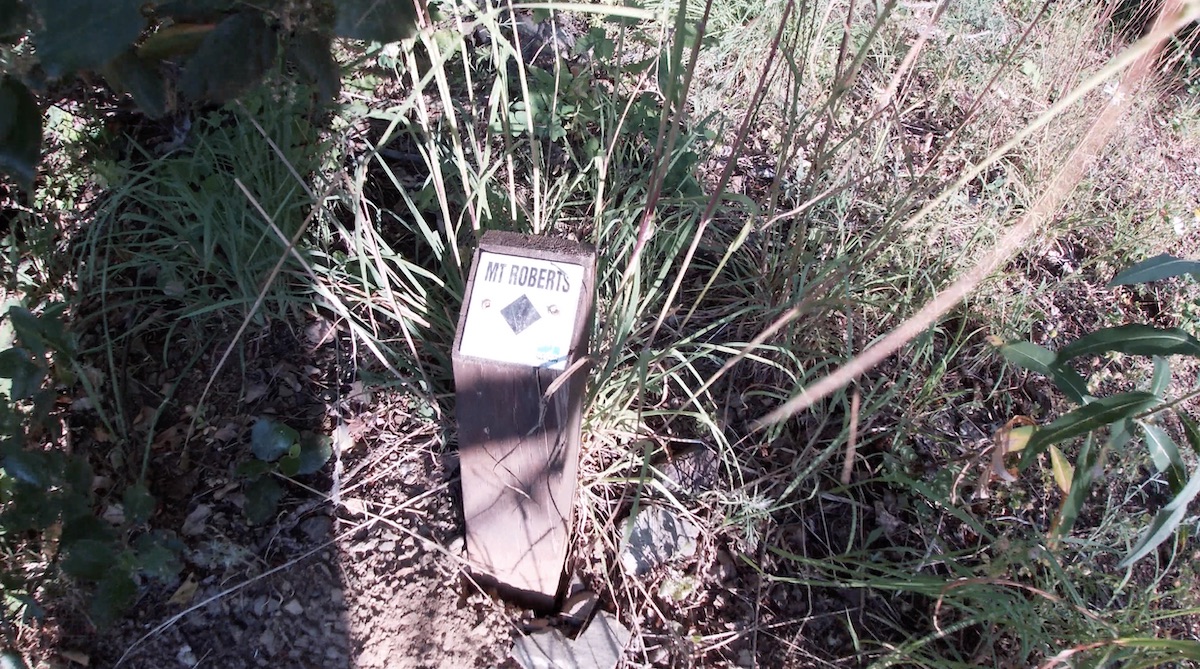
Continue straight on BC Hwy 3B past the Rossland Visitor Centre and Museum towards the Old Rossland Cascade Highway. Continue along the Old Cascade Highway for 1.6km until you see a property with a few buildings. Park on the left side of the dirty road nearest to the second last building beside the road. The trailhead begins directly across the road on an ATV type trail and is marked by a small marker on the ground. The Old Cascade Highway is a dirt road but is well graded and can be very easily driven by all vehicle types.
The Route
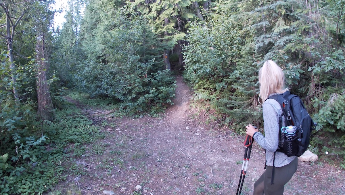
Once you’ve found the trailhead, the navigation of this one is no problem. The first portion of the trail follows a decommissioned ATV road. The road zig zags back and forth through the forest knocking off about a third of the total elevation gain. There are some other smaller trails that veer off the ATV road, don’t follow these just continue on the most obvious road. You will reach a clear end to the ATV road and will see a trail heading up the mountain to your right. From this point on it’s more of a traditional hiking trail slowly getting steeper and steeper towards the summit.
You will enter the sub-alpine and the tree covering will begin to recede becoming steeper and rockier. Take a look behind you because once you get to the 2.5km mark you will have views the rest of the way up. We thought we had reached the summit on a number of occasions, but there are a few dastardly false summits that will trick you on the approach. The last 350m of elevation gain is tackled over a half kilometer making it the steepest section of the trail.
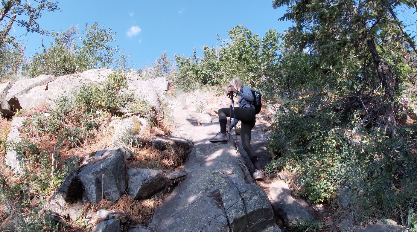
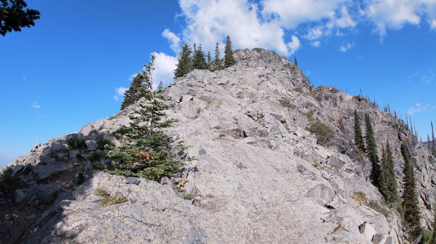
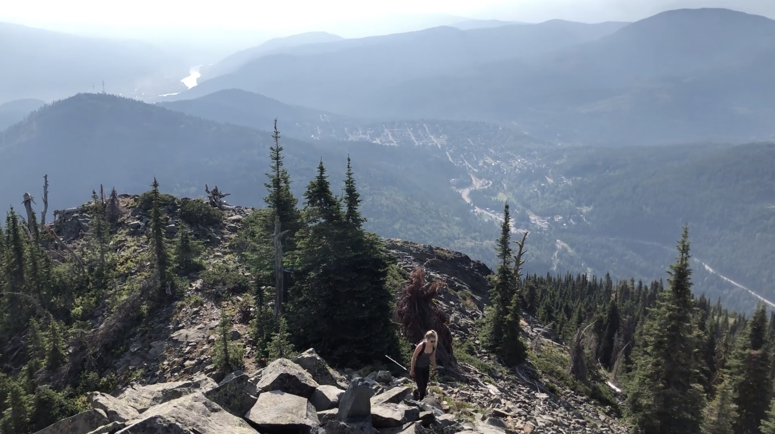
You’ll know you’ve made it to the summit when you see the Doug “Digger” Davis Memorial Bench. Take a walk around the summit and watch your footing because there are some exposed areas. You’ll feel like the King/Queen of Rossland when you reach the top and get the best birdseye views in region. Red Mountain Resort is just to the left, you can spot the chairlifts and you can see the summit of Old Glory (the highest peak in Rossland) in the horizon.
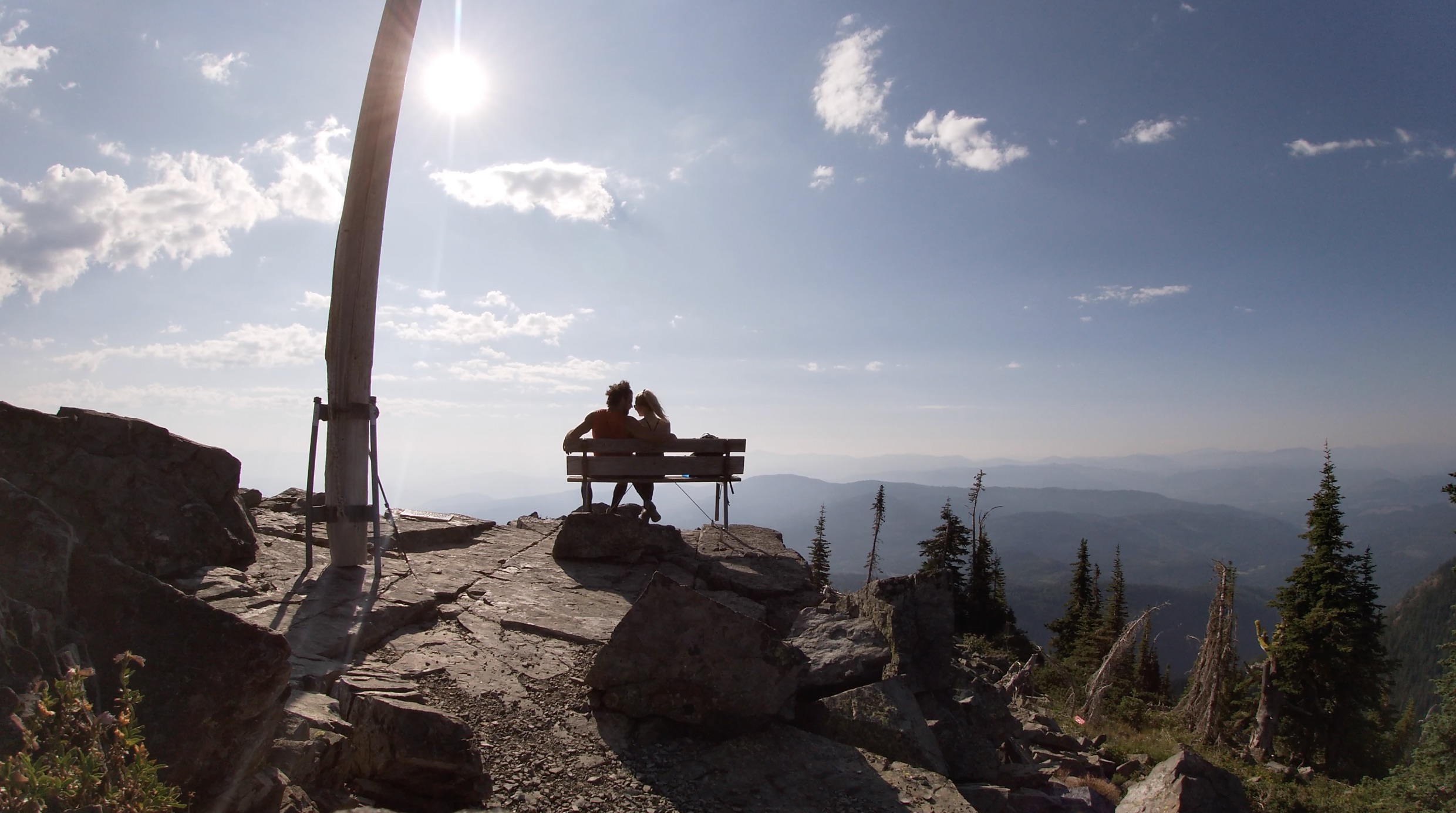
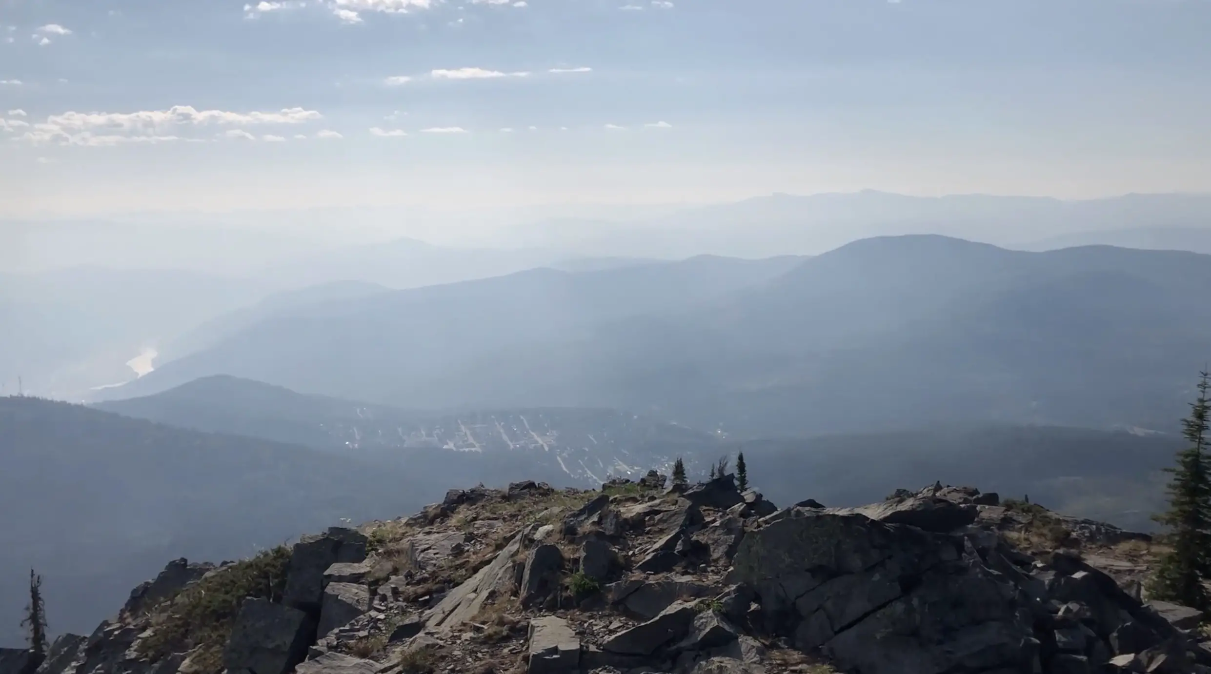
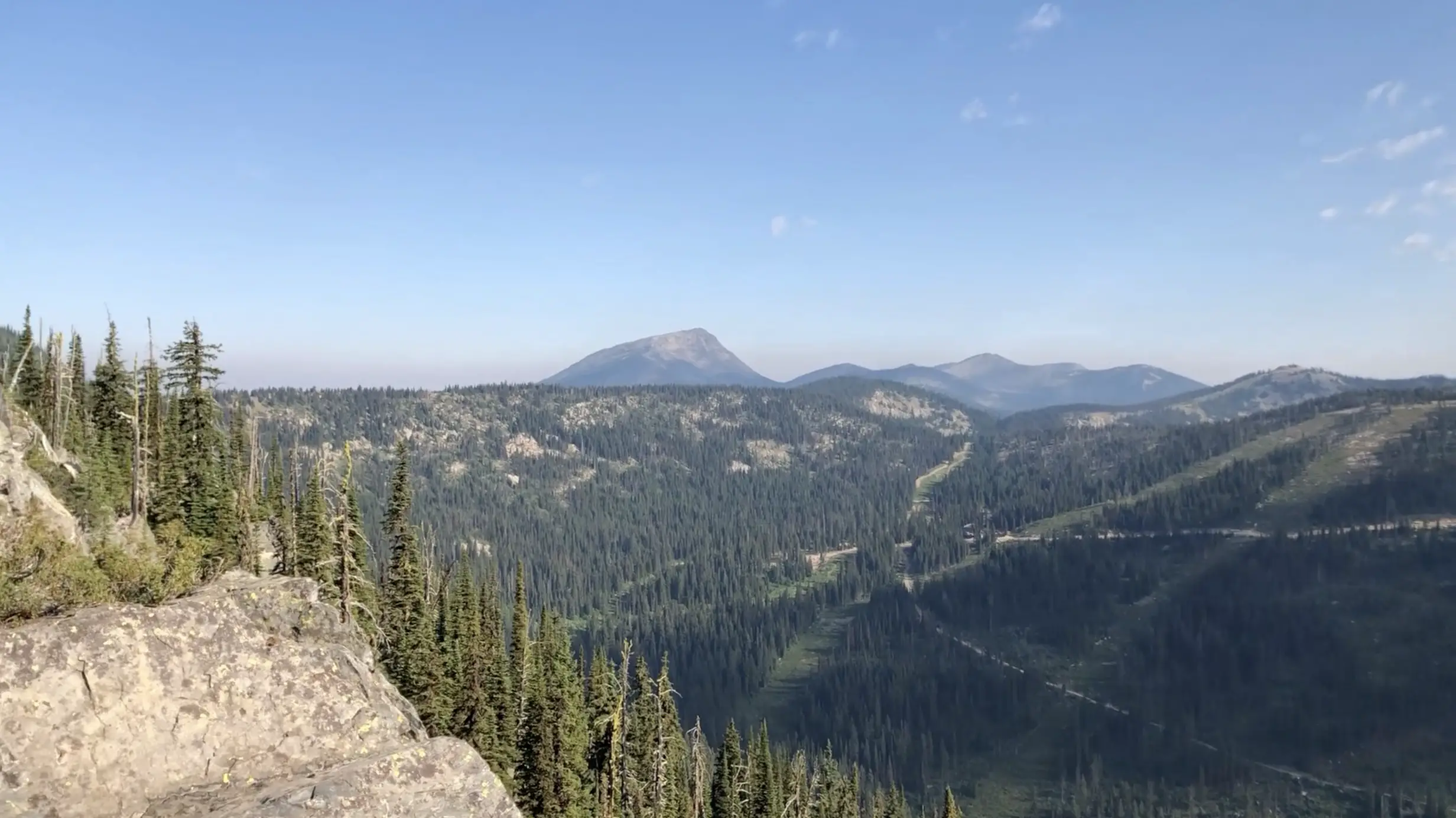
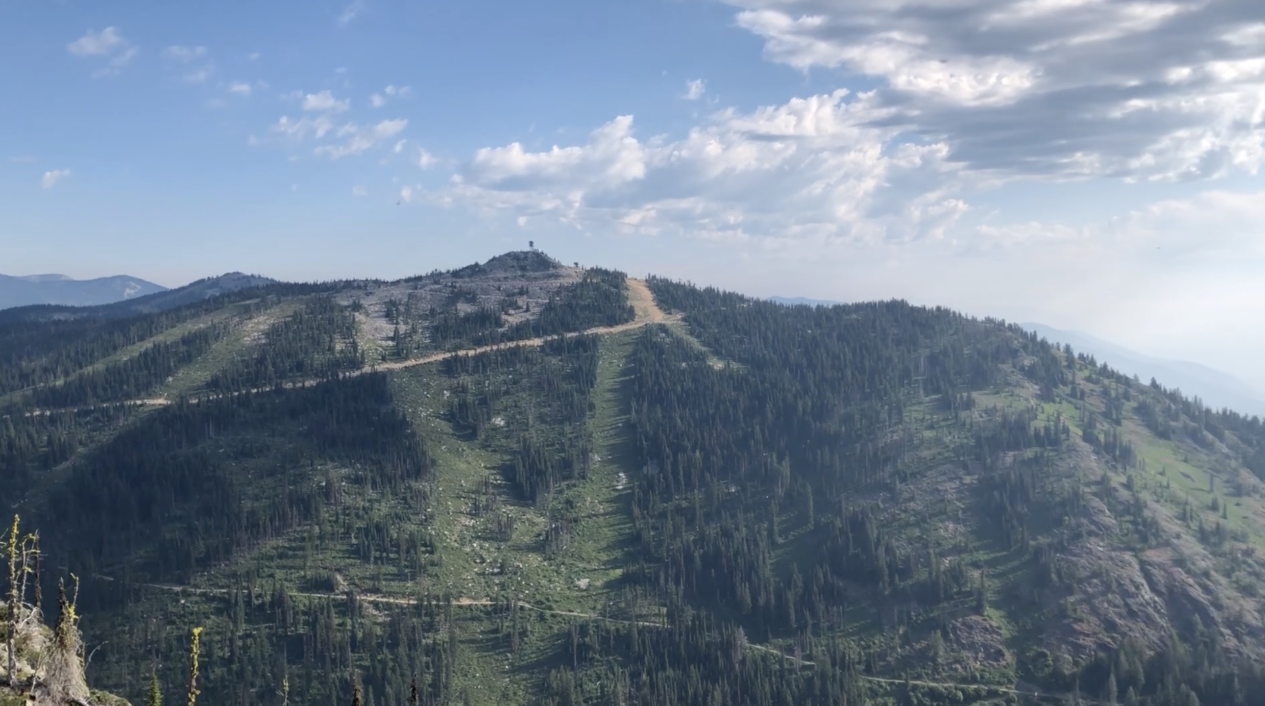
The Mt Roberts trail is unbeatable exercise and enables you to take a seat on one of the coolest benches in all of the Kootenays. Round-Trip took us about 2 hours and 15 minutes and we were quite dogged by the end of it. Don’t underestimate this trail, it’s got some serious bite!
Do you know of any better benches in the Kootenay’s?
If you have any questions, feel free to leave a comment.
Happy Hiking!

