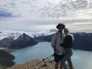
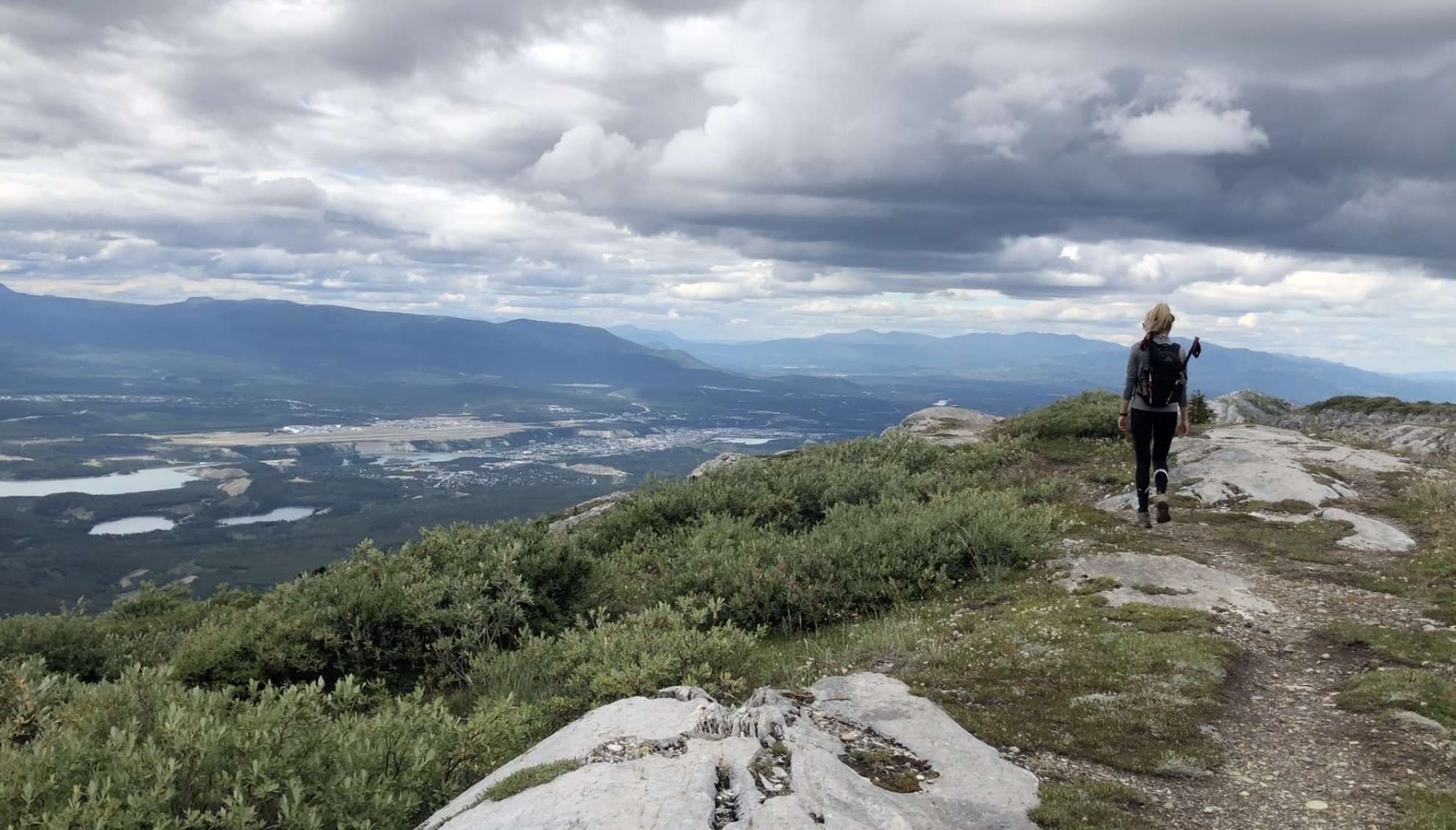
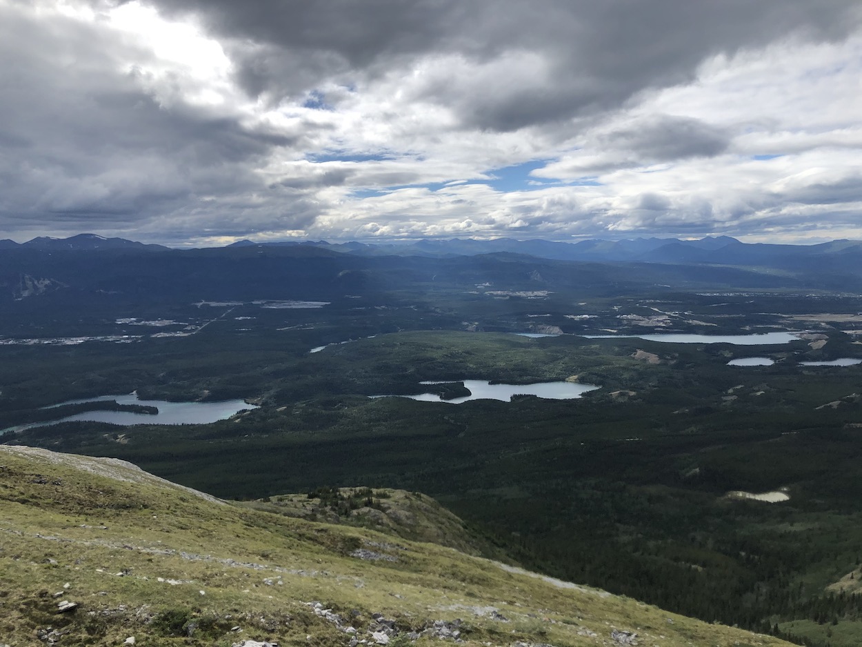
The Grey Mountain trail is a very scenic, accessible and easy trail located in the heart of Whitehorse. The hike rewards you with fabulous views of the city, the Yukon River, Marsh lake, Lake Laberge and the surrounding mountains. It’s a close-to-town classic and is the ideal way to get to know the area. The trail itself begins only 200m below the summit thanks to a moderate 4×4 road which most SUV’s, trucks and slow driving cars should be able to tackle. The summit is only 2.5km from the parking area but the hike can be extended to about 4km if you hike the ridge to the final viewpoint which is the best!
Check out our Grey Mountain hiking video HERE
Remember the Backcountry Basics
- Carry your Survival Kit & Essentials
- Let someone know where you’re going with a Trip Plan
- Know how to avoid negative wildlife encounters
- Practice Leave No Trace to keep the wilderness pristine
- Carry a Satellite Communicator like SPOT X
Table of Contents
The Breakdown
| Distance (Round Trip) | 7.5km |
| Elevation Gain | 364m |
| Time (Round Trip) | 2-4 hours |
| Dogs | Yes |
| Camping | No |
| Season | Year Round |
| Difficulty | Easy |
| Remoteness | Moderate Traffic |
| Highest Point | 1489m |
Driving Directions
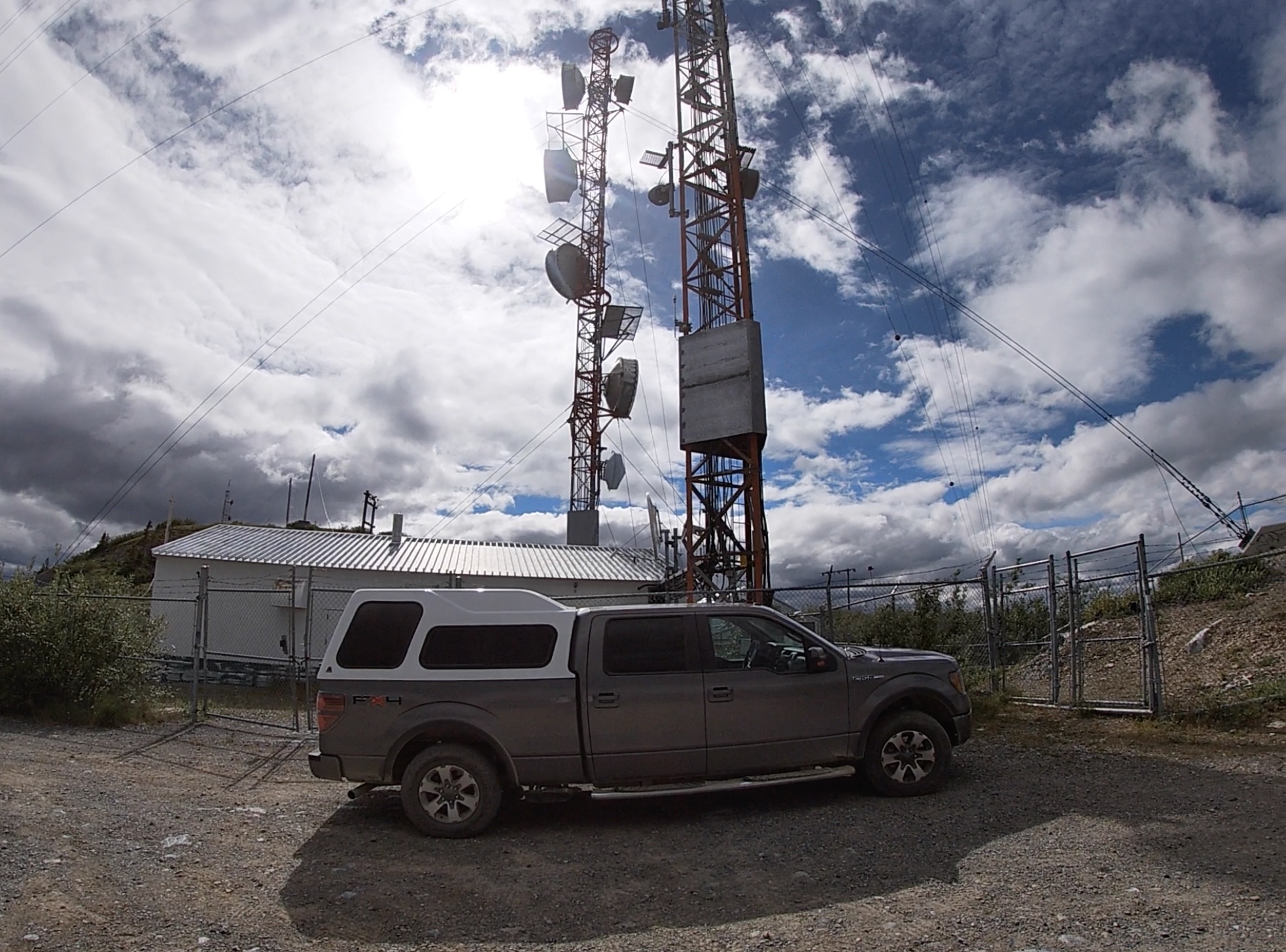
Driving from the S.S Klondike in Whitehorse, go over the bridge onto Lewes Blvd, take a left onto Alsek road, and another left onto Grey Mountain Road. The road will become gravel and will get increasingly narrower and bumpier as you climb higher. The views on the 4×4 road are fantastic. Most vehicles, minus low clearance cars, should have no problem with this road if you take it slow. You will arrive at a communications tower at the top where there is ample spots to park and this is where the trail begins.
The Route
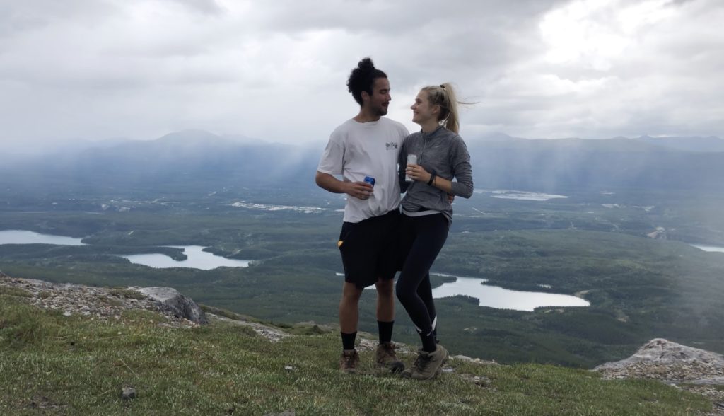
The route is very simple, and you will have your eyes on the summit for most of the hike. Follow the most well walked trail as you make your way up to the first viewpoint. The views from the Grey Mountain summit are fantastic and well worth the short 2.5km walk.
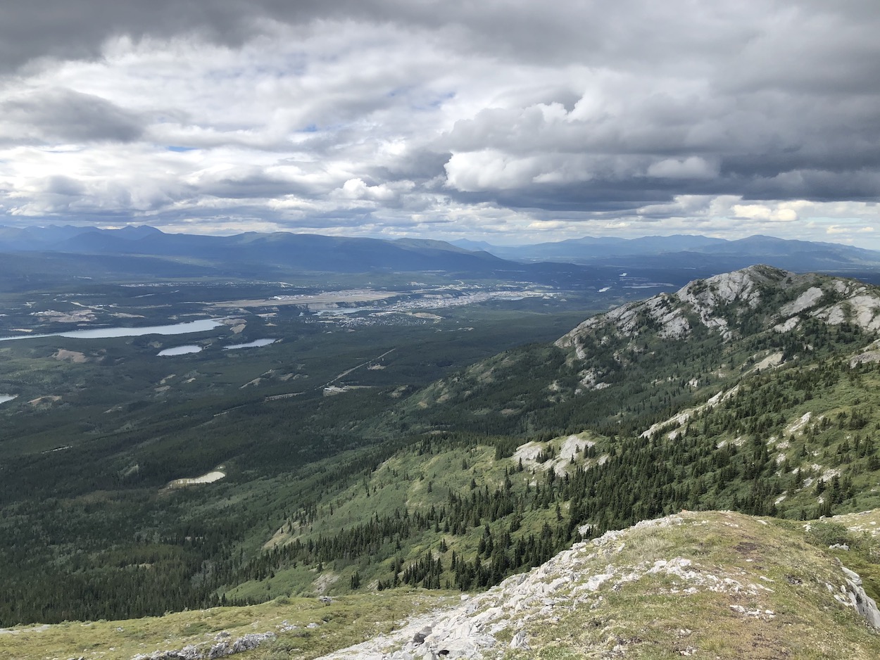
If you want something a little more adventurous then keep on hiking the ridge towards the second and third peaks. There isn’t really a well-maintained trail for this portion and we had to do some bushwhacking veering on and off different trails on our way to the top. Route finding is easy as you can just look towards the next big hump on the ridge and keep hiking towards it. Not only does the ridgeline extend the hike but it improves the views. The third summit presents a perfect view of Whitehorse and lake Laberge looks like a distant ocean.
It’s probably going to be impossible to hike the same direction on the way back so have some fun and keep in line with the ridge until you make it back to the first peak trail and then the communication tower.
Let me know if you have any questions in the comments?
Happy Hiking!