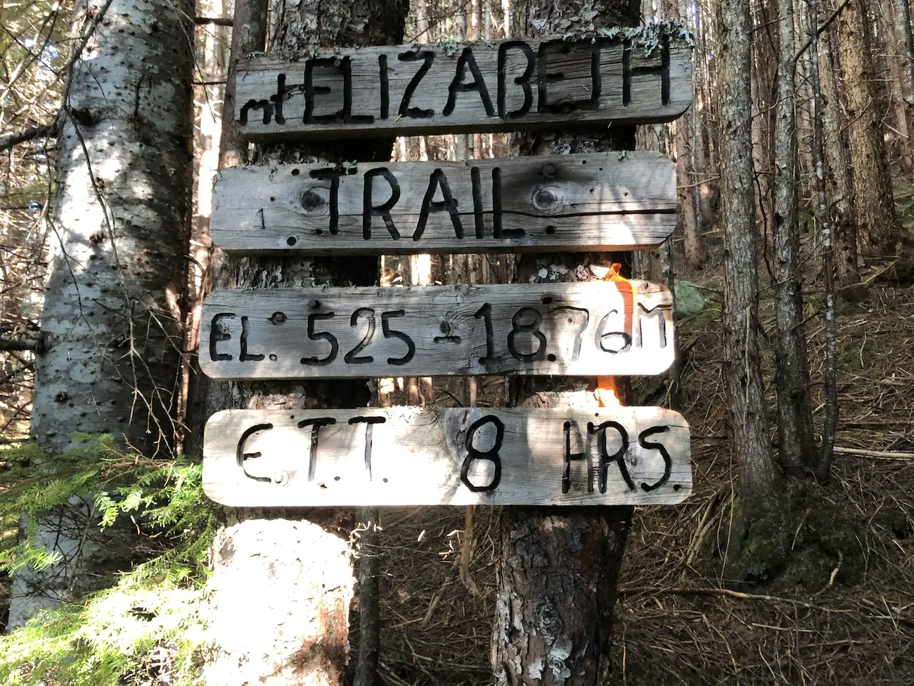
The Mount Elizabeth summit is a spectacle. It towers over the Kitimat range at 1885m. Trailblazers willing to hike its brutally steep and rugged path will be graciously rewarded 360° views of the mountains, valleys, town of Kitimat and the Douglas channel. The ridge portion of the hike is stunning, and many hikers choose to end their journey at Baby Liz. Weather changes super-fast on the trail so be mindful and ensure you have adequate experience and solid weather conditions before attempting the summit.
Check out our Mt Elizabeth HIKING video HERE
Remember the Backcountry Basics
- Carry your Survival Kit & Essentials
- Let someone know where you’re going with a Trip Plan
- Know how to avoid negative wildlife encounters
- Practice Leave No Trace to keep the wilderness pristine
- Carry a Satellite Communicator like SPOT X
Table of Contents
The Breakdown
| Distance (Round Trip) | 14km |
| Elevation Gain | 1536m |
| Time (Round Trip) | 7-9 hours |
| Dogs | Yes |
| Camping | Yes (Backcountry) |
| Season | July-Sep |
| Difficulty | Difficuly |
| Remoteness | Remote |
| Highest Point | 1885m |
Driving Directions
From the Kitimat Chamber of Commerce Building, continue North on Hwy 37 for about 7.5km. Take a right turn onto the FSR just before the big powerlines cross the highway. Follow the North Hirsch Mainline FSR for 13.5km. As always be cautious when driving logging roads and remember that Logging traffic always has the right of way. At the 13.5km mark there will be a left turn onto a rough and narrow 4×4 road. I drove the truck about 1km up the road before parking and calling it quits because it became a bit too narrow and overgrown. If you have a short wheel base, high clearance/offroad vehicle, are comfortable with offroad driving and don’t mind some ‘trail rash’ on your paint then SEND IT!. However, since you’re only saving yourself 2.5km of walking, I would recommend opting to park at the bottom and walking this one.
The Route
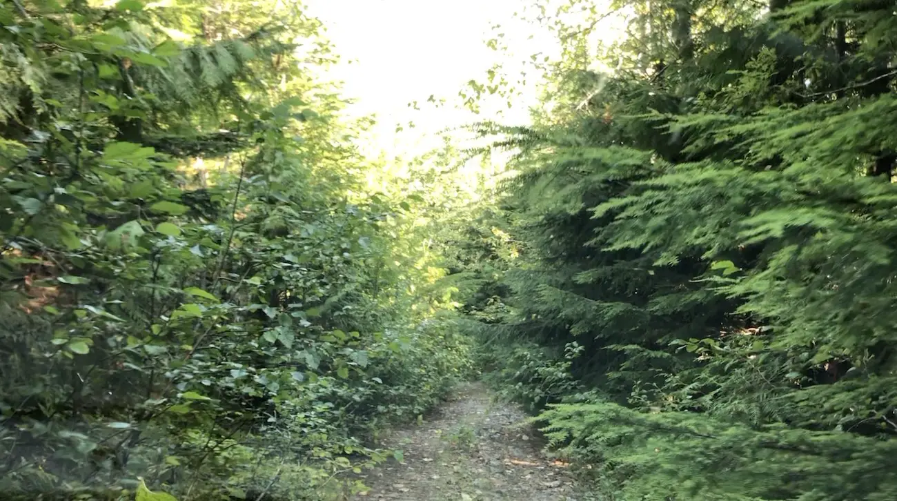
If you managed to get your high clearance 4×4 vehicle up to the parking lot, congratulations, I commend your adventurous spirit! For the rest of us common folk, start climbing up the steady 2.5km 4×4 road to the trailhead. The trail is very clear and begins in the trees on the left side of the small grassy parking area. The elevation gain is relentless, and you will be ascending aggressively through the dense forest right off the hop. There is nothing redeeming about the first part of the trail and Laura and I managed to step on a wasp’s nest accumulating 20+ wasp stings.
At approx. the 4km mark you will reach a wet open grassy area. The first viewpoint will be off the trail to the right looking over the town of Kitimat. Continue to follow the orange trail tape forwards and up to the left. Don’t walk through the bog, Laura and I crossed the pond/bog and missed the trail on the way up and had to backtrack so keep your eyes out for the trail tape to your left. The first viewpoint is not in the Alpine and you are going to have to work a little harder to escape the lush forest. This portion of the trail up to the base of Baby Liz (baby Elizabeth) is the steepest of the day and you will be climbing straight up roots and slippery muddy footing.
At the Sub Alpine Plateau you will get a solid view from the base of Mt Elizabeth and Baby Elizabeth. Sadly, you will walk past a memorial for two hikers that passed away on the trail in 2002. Rest In Peace. This is a reminder that hiking within your ability level can quickly become dangerous when inclement weather rolls in.
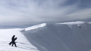
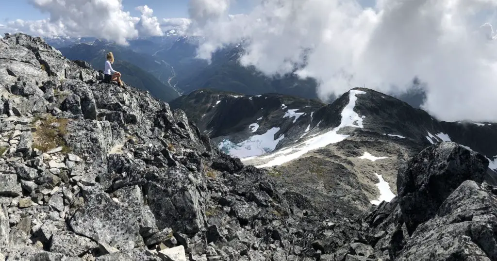
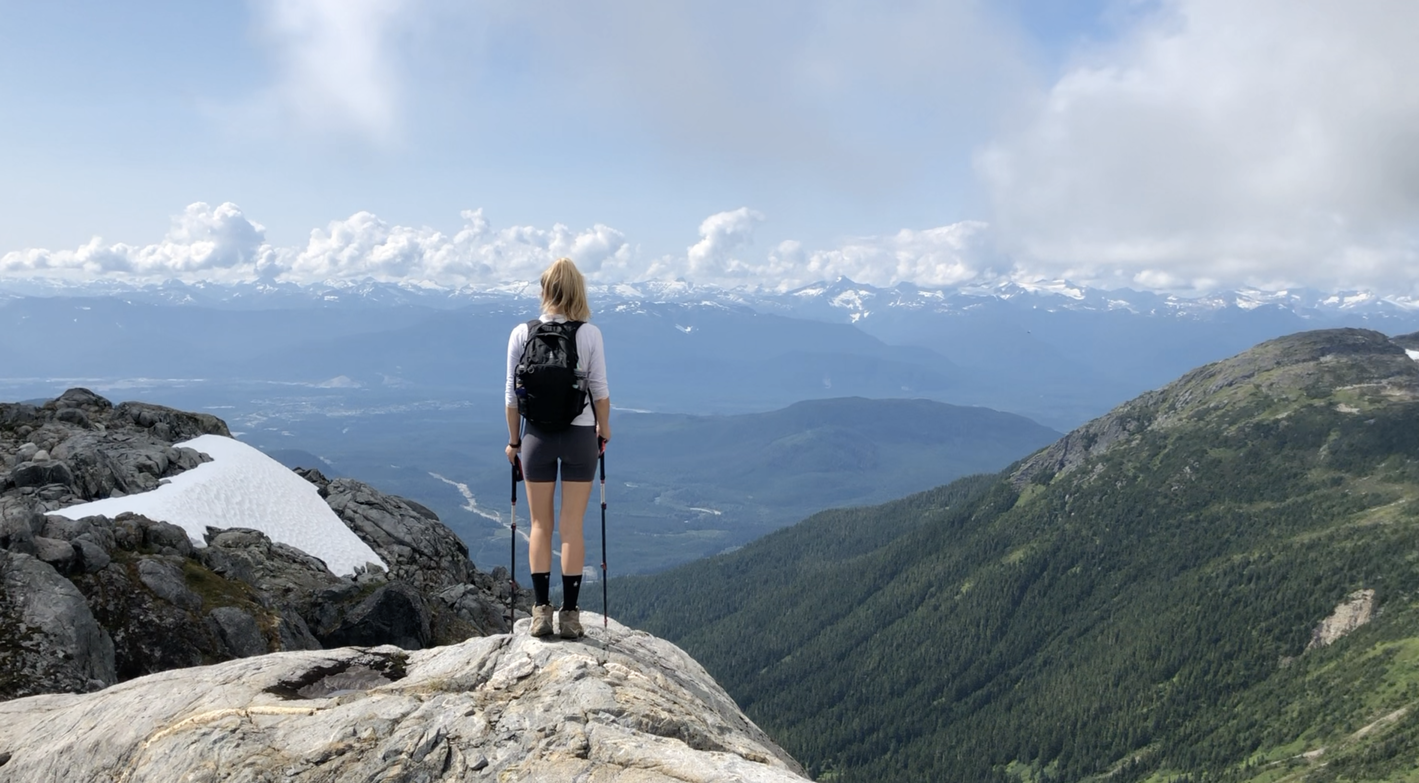
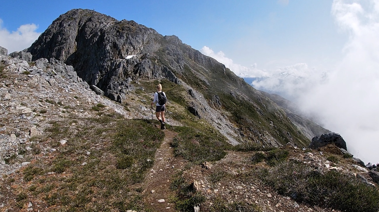
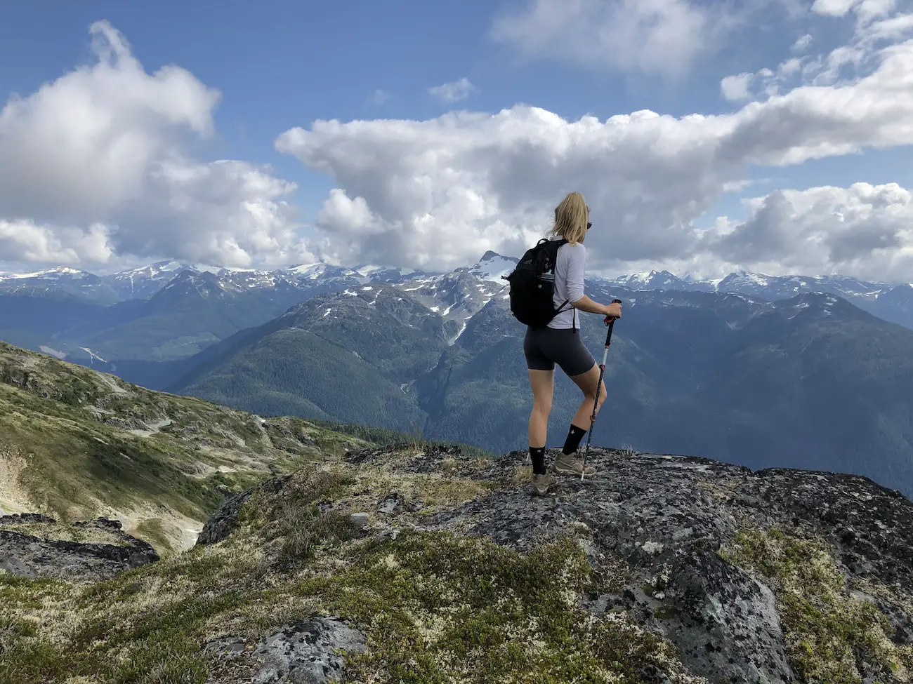
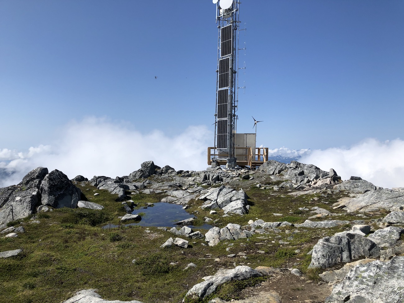
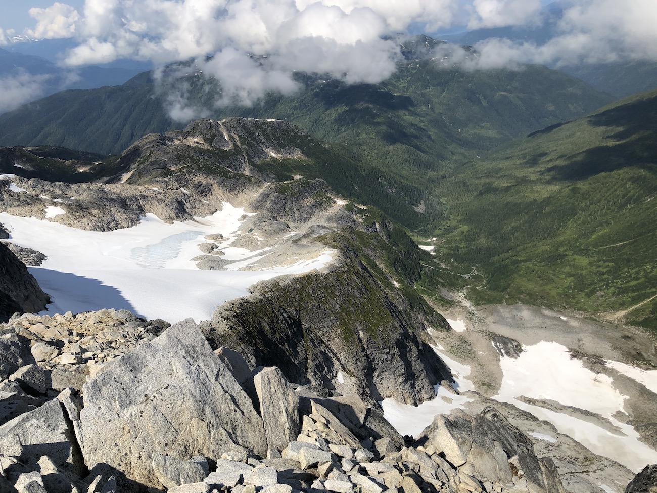
From the memorial you will continue to follow the well walked trail to the summit of Baby Elizabeth. You will climb through some small brush and as you gain some more elevation the trail will become rockier and you will be on the ridgeline. The ridgeline up to baby Elizabeth is beautiful, at this point you have already gained some serious elevation and have an unbelievable view of the mountains and valleys to your sides and an epic view of Kitimat behind you. There is some sort of sophisticated weather station at the top of Baby Lizzy. This is a great spot to take in the views, refuel and plan your route up to the summit of Elizabeth after assessing the weather once again.
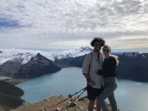
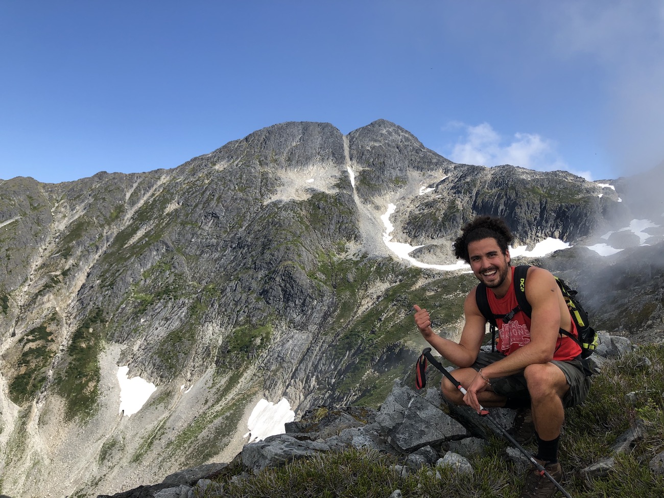
If the weather is great and your group wants to head for the summit head down the saddle to the left of the weather station and straight up Mt Elizabeth. There are Rock Cairns which somewhat mark a recommended route on the ascent. We found these difficult to follow and paved our own way to the summit that we felt safest climbing. The summit took my breath away….. Sorry, I had to slip in a Dad joke.
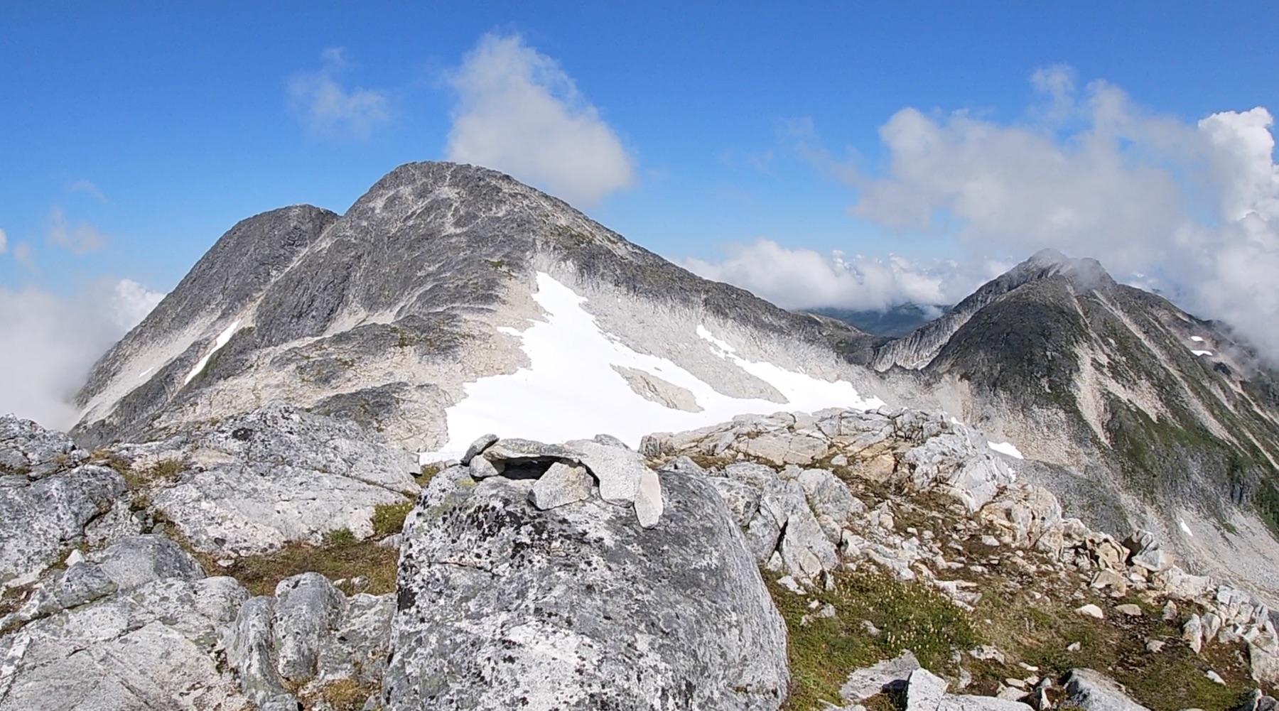
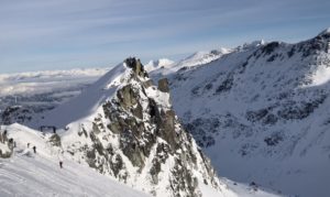
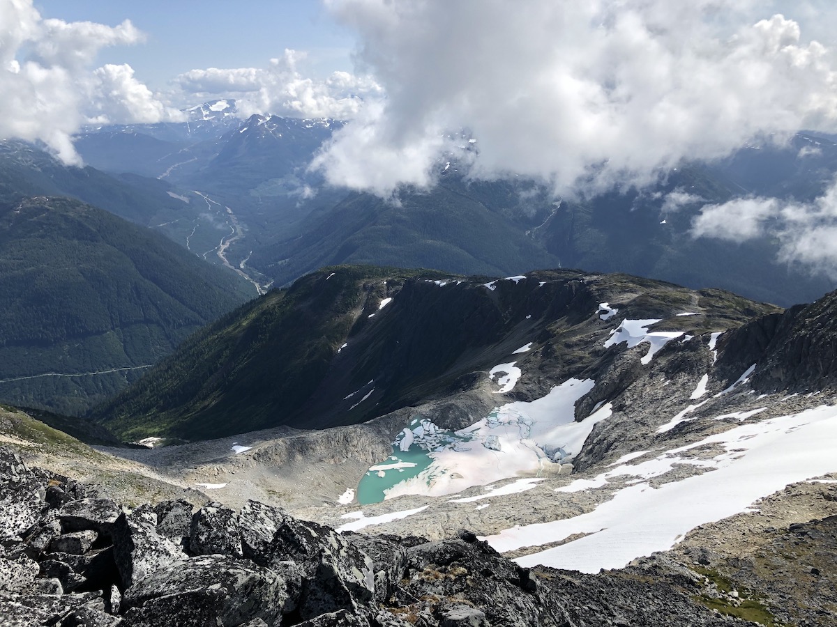
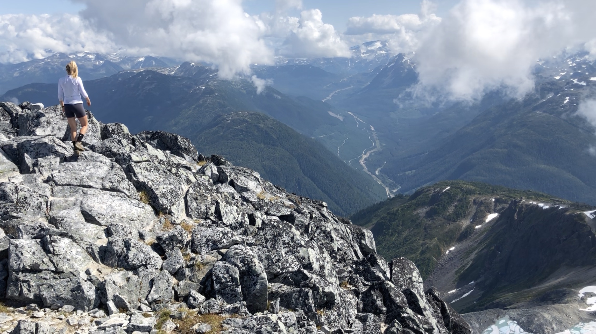
Elizabeth is the highest peak in the Kitimat Range and being on top of all the nearby mountains was truly something special. The grassy valleys, rocky peaks, town of Kitimat, and Douglas Channel were all part of the 360° spectacle. We only spent a short time for a quick snack on the summit as we became nervous of some fast moving clouds in the distance.
We hiked an alternate route on our way back to Little Lizzy and traced our steps back to the car. All in the hike took as 7:30 hours with a few short breaks and one long battle with wasp stings. Give yourself lots of daylight for this one!
Let me know if you have any questions in the comments?
Happy Hiking!