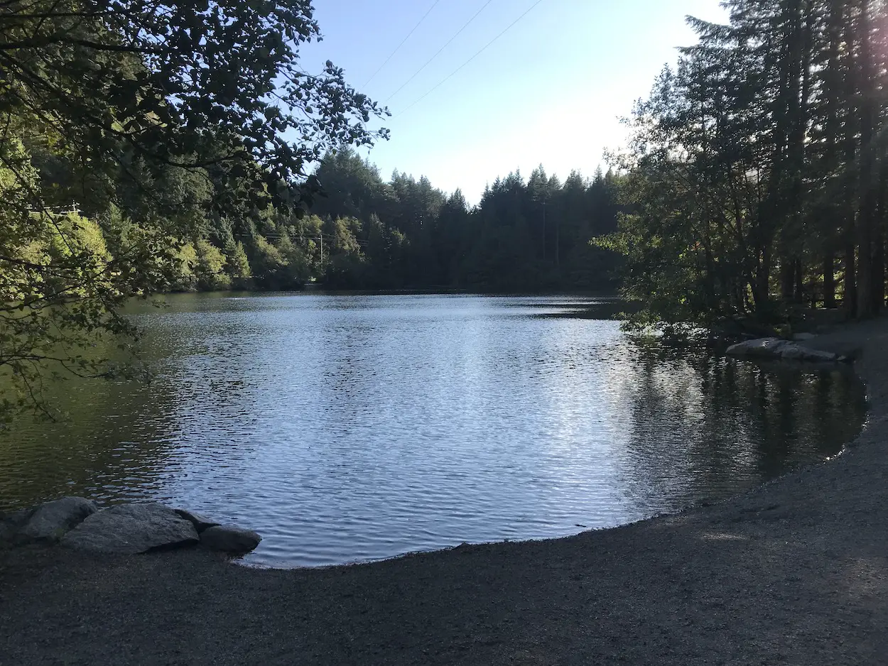
If you’re a Vancouver local who plays in the Sea to Sky area Murrin Provincial Park is likely on your radar, but, probably for all the wrong reasons. You may know Murrin park as that random little lake on Hwy 99 that seems so weirdly busy and where traffic always seems to stack up. However, the park is not only good for picnicking, swimming and fishing at Browning Lake. It is loaded with cool rock climbing routes and more importantly is home to a fantastic hiking loop.
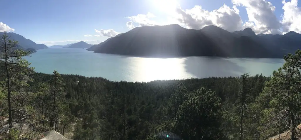
The Jurassic Ridge and Murrin Park Loop trail is short and sweet. It rewards hikers with numerous unbeatable viewpoints of Howe sound. Hiking is probably the least popular activity in Murrin Park so you will likely have the ridge portion of the trail all to yourself. The trail itself is short, but there are some steep rock portions up/down the ridge including a few rope sections. It’s nothing overly challenging but the terrain makes this hike intermediate in difficulty. As always I would recommend you wear a pair of hiking boots. For those who want something easier you can bypass the ridge and continue on the Murrin Loop which has a fabulous view at Brian’s Lookout.
The Jurassic Ridge and Murrin Park Loop trail leads to multiple viewpoints, and in my opinion, some of the best benches, picnic areas and spots to take a photo in the Sea to Sky Corridor.
Remember the Backcountry Basics
- Carry your Survival Kit & Essentials
- Let someone know where you’re going with a Trip Plan
- Know how to avoid negative wildlife encounters
- Practice Leave No Trace to keep the wilderness pristine
- Carry a Satellite Communicator like SPOT X
Table of Contents
The Breakdown
| Distance (Round Trip) | 2.4km |
| Elevation Gain | 160m |
| Time (Round Trip) | 1-3 hours |
| Dogs | Yes - On Leash (Not allowed in Lake or on Beaches) |
| Camping | No |
| Season | Year Round |
| Difficulty | Moderate |
Driving Directions
Murrin Park is located 9.5km south of Squamish along the Sea to Sky Highway (Hwy 99).
The Route
From the trail map in the parking lot, continue on the trail to the right side of Browning Lake. The lake will be busy with picnickers in the summer months, but don’t worry, the trail should be very quiet. After around 300m there will be a trail to the right with signs to ‘Jurassic Ridge’, ‘Loop Trail’ and ‘Quercus’ viewpoint. Upon leaving the Browning lake area you will begin to climb uphill slightly then downhill arriving at another junction. Stay right following the Murrin Loop Trail in a
counter clockwise fashion.
There are usually lots of rock climbers hidden in the forest so take a look for ropes on the rocks and see if you can spot them playing around on the many crags in the forest. You will reach a junction, go left to the Quercus viewpoint which offers a stunning view of Browning Lake and Howe Sound.
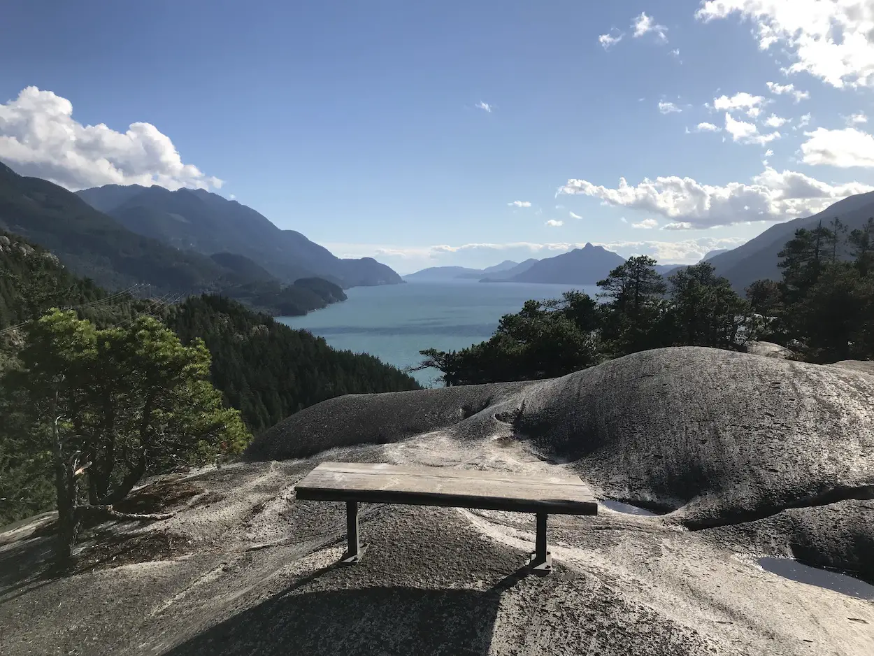
The views of Howe Sound only get better! Walk back to the main trail and after a few hundred meters branch off to the right for Jurassic ridge. This is where the fun begins. You are going to gain some more elevation worming your way up the rocks through the forest. The trail turns to the left and you will be on the rocky ridge getting glimpses of Howe Sound through the tree branches. Make sure you keep your eyes on the trail markers because alternate/accidentally walked paths make things confusing.
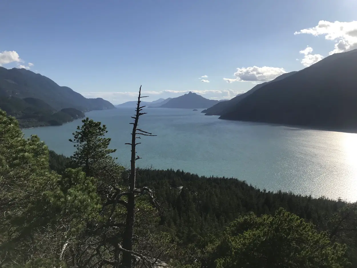
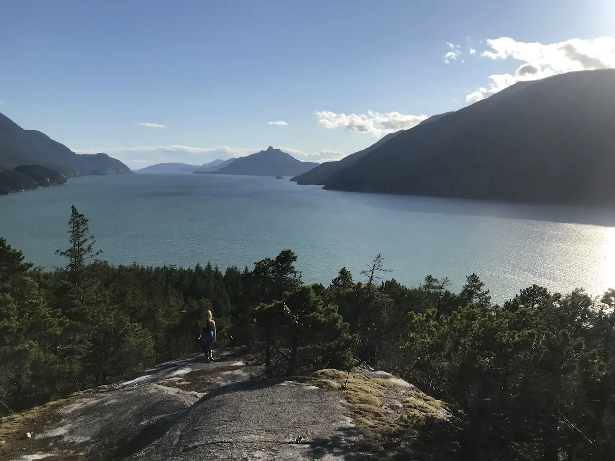
You will begin to descend down the rocks and will arrive at the first phenomenal viewpoint. Once you’ve taken your fair share of pictures continue down the rock until you reach yet another unbelievable viewpoint.
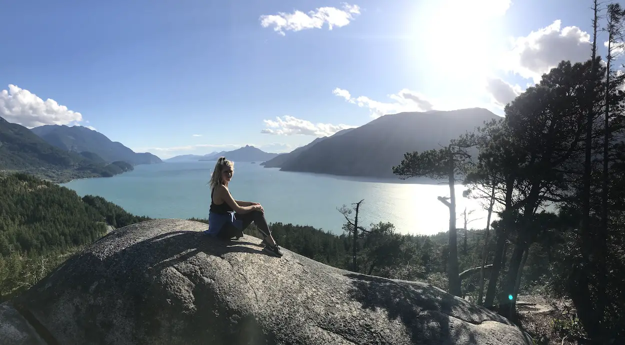
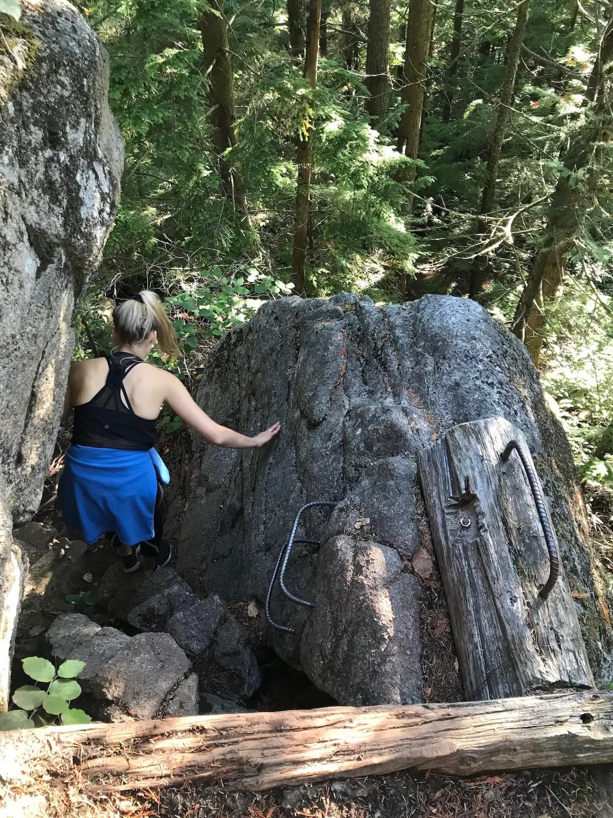
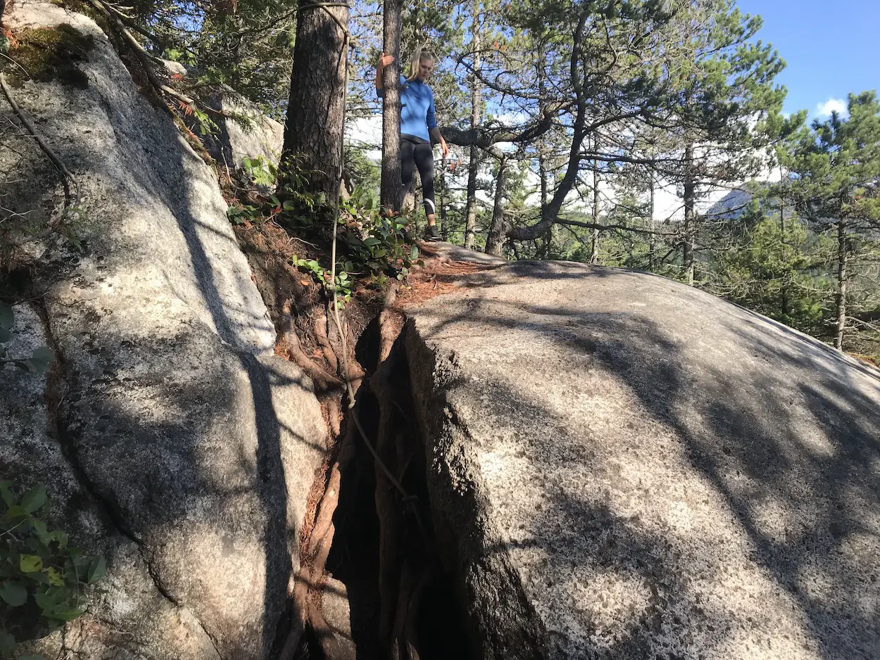
After the second viewpoint the steep descent continues, there are some ropes along the way and a ladder to assist you. You will reach a junction with the ‘Cedars’ trail, continue on the Jurassic Ridge Trail towards ‘Brian’s Lookout’. Brian’s lookout is beautiful and a great spot to stop for a snack or an adult beverage, if you brought one along.
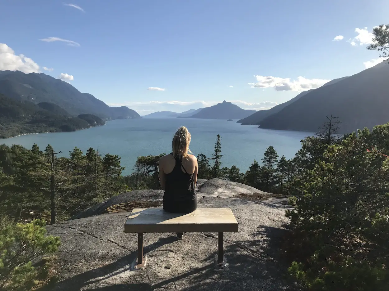
Brian’s Lookout is the last view of Howe Sound that you will get before heading back into the forest, becoming the Murrin Loop trail once again, passing by the Cereal Killers, Marc Andre’s and Petrifying climbing walls. The trail will spit you back out at Browning Lake where you began. If it’s a hot summers day, then it’s definitely time for a swim!
Frequently Asked Questions
How difficult is the Jurrassic Ridge Trail?
The Jurassic ridge trail is rated as difficult because of its short distance but steep rocky trail sections. For hikers who want an easier walk with some great views they can opt to follow the Murrin Loop Trail.
Are dogs allowed in Murrin Provincial Park?
Yes. Dogs are allowed on leash in the trails. However, dogs are not allowed on the lakes or beaches in the park.
How long does it take to hike the Jurassic Ridge & Murrin Loop Trail?
Typically it will take hikers anywhere from 1-2 hours. But, if you decide to stop for a beer on one of the benches (which I would personally recommend) then it will take a bit longer.
Should I wear hiking boots on the Jurrasic Ridge Trail?
Hiking boots are recommended because of the steep, rooty and rocky terrain.
Where is the Jurassic Ridge and Murrin Loop Trail?
Murrin Park is located 9.5km south of Squamish along the Sea to Sky Highway (Hwy 99).
Can I hike Jurassic Ridge in Fall/Winter?
Absolutely. Hiking in Murrin Provincial Park is a great option for months when trails at higher altitudes are covered in snowfall.
Next time you’re driving near Squamish and have an hour to spare. Tie on your hiking boots and check out this awesome gem of a trail.
Happy Hiking!




2 Responses
Thanks for the good review..Brian (as in Lookout))
Thanks for the ecellent decription of my trail network
Brian Moorhead Project Lead on behalf of the Squamish Access Soc.