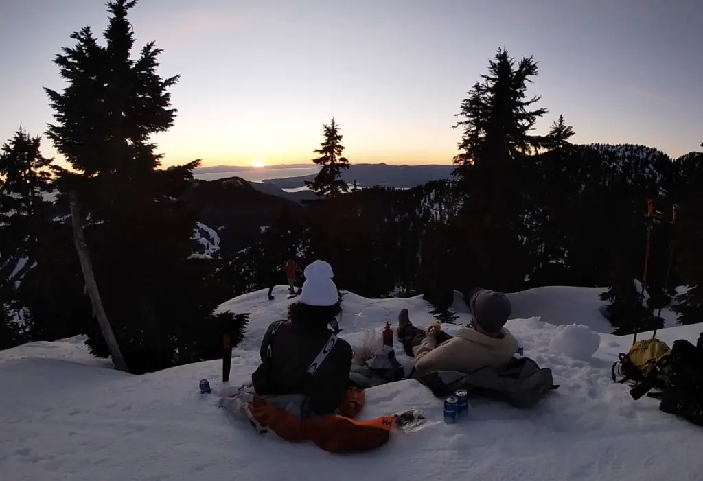
Hollyburn Mountain is a staple Vancouver adventure and is the perfect place to escape from the city if you only have a few hours. The trailhead is located beside the Cypress mountain ski resort and is one of the most gorgeous places to watch a winters sunset. I make it a yearly habit to pick a clear evening every winter and watch the colours erupt in the sky as the sun sets over Howe Sound.
Hollyburn Peak caters to all recreationalists and the trail is often shared by hikers, snowshoers and backcountry skiers. The trail is very well marked and can be enjoyed in all four seasons. However, I find the trail to be the most peaceful, scenic and enjoyable in the winter months.
The trail is often busy and the footing is well packed out. This means that the ideal weapon of choice in the winter months is usually just a pair of hiking boots, crampons/cat-tracks or microspikes and a set of hiking poles.
Snowshoes are great tool for this trail after a fresh snowfall, but, are overkill most days.
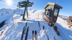
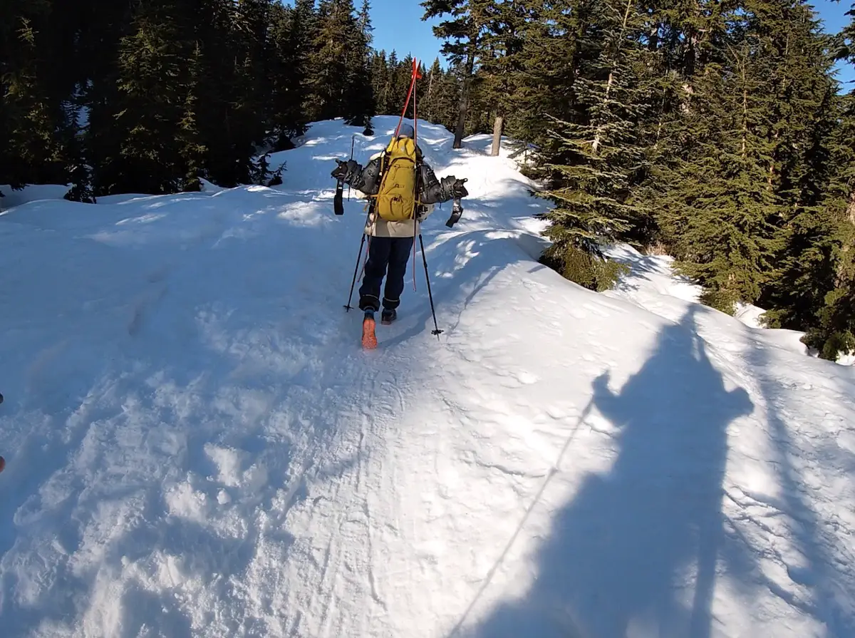
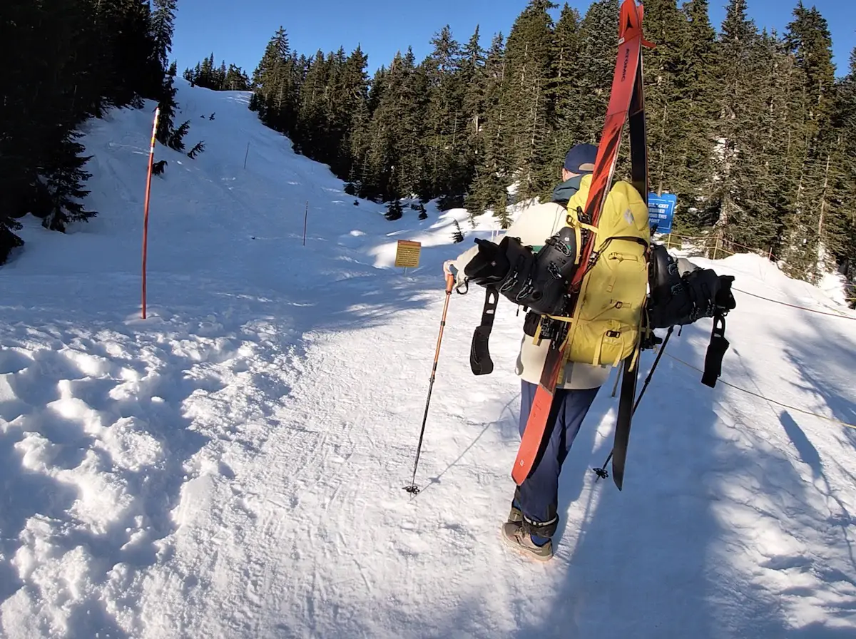
If you are planning on Ski Touring Hollyburn Peak you have a few options. The most enjoyable uphill route is the Hollyburn Winter Skin Track. The skin track weaves through the trees, is secluded and more enjoyable than battling hiker and snowshoe tracks up the main trail. Skinning up the Hollyburn Peak trail from the Nordic centre is also acceptable on skis but the ice on the trail can be challenging and frustrating. If there isn’t fresh snow my favourite method is to strap my skis and boots on my pack and ski down after a great weighted workout!
No matter how you decide to ascend and descend you are going to have a marvellous time!
Remember the Backcountry Basics
- Carry your Survival Kit & Essentials
- Let someone know where you’re going with a Trip Plan
- Know how to avoid negative wildlife encounters
- Practice Leave No Trace to keep the wilderness pristine
- Carry a Satellite Communicator like SPOT X
Table of Contents
The Breakdown
| Distance (Round Trip) | 7km |
| Elevation Gain | 433m |
| Time (Round Trip) | 2-3 hours |
| Dogs | Yes (On Leash) |
| Camping | No |
| Season | Year Round |
| Difficulty | Moderate |
| Remoteness | Heavily Trafficked |
| Highest Point | 1326m |
The Directions
The Hollyburn Peak trail is located just a 20 minutes’ drive from Downtown Vancouver. Head to Hwy 99 in West Vancouver and Follow the Cypress Bowl Road all the way to the top until you reach a right turn towards the Hollyburn Nordic Area. In the winter you will see signs for the X-Country Area and the Downhill Skiing Area. You can park at the Nordic area or for free in parking lot 3B and walk a little bit to the trailhead.
The Route
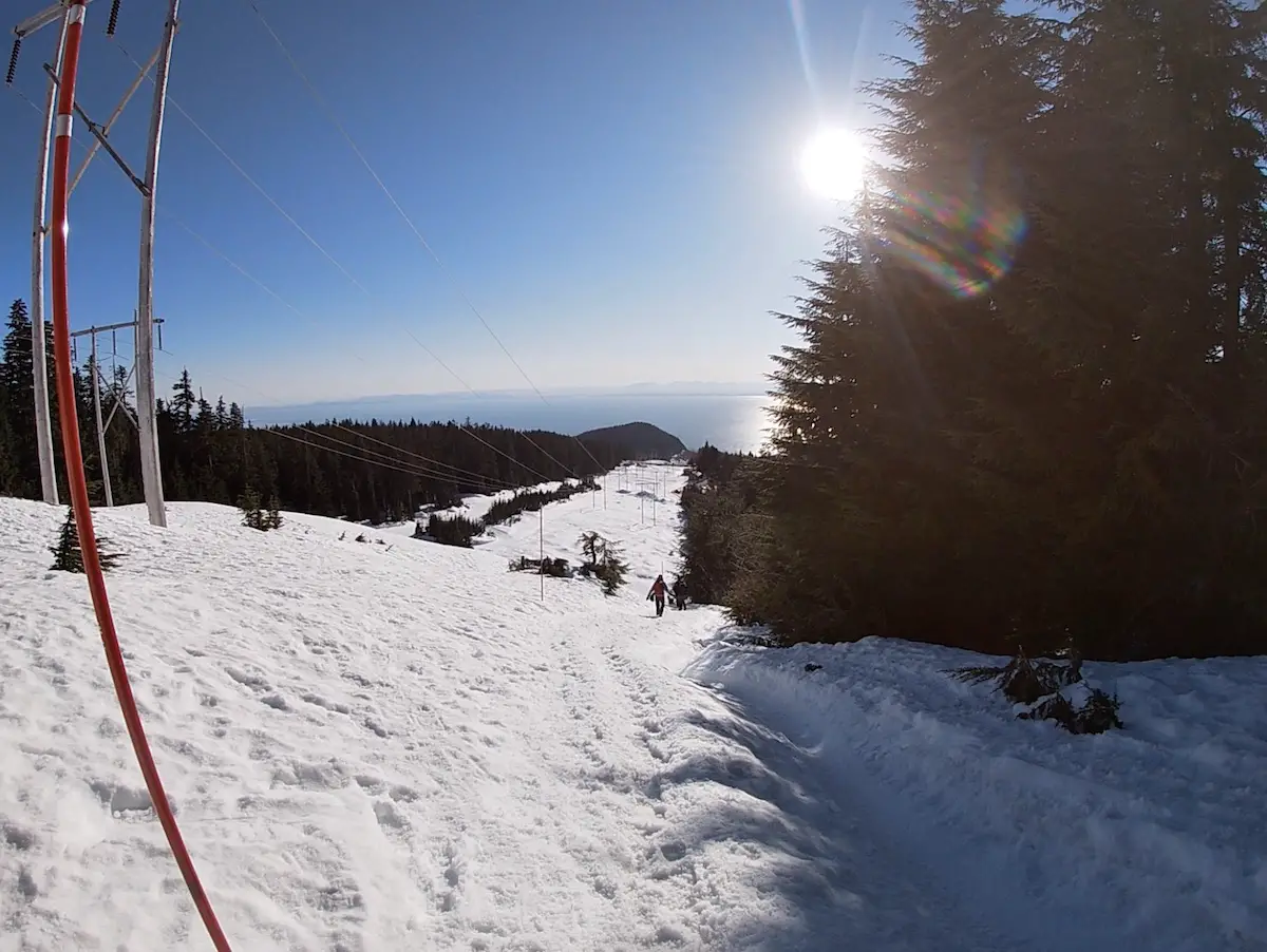
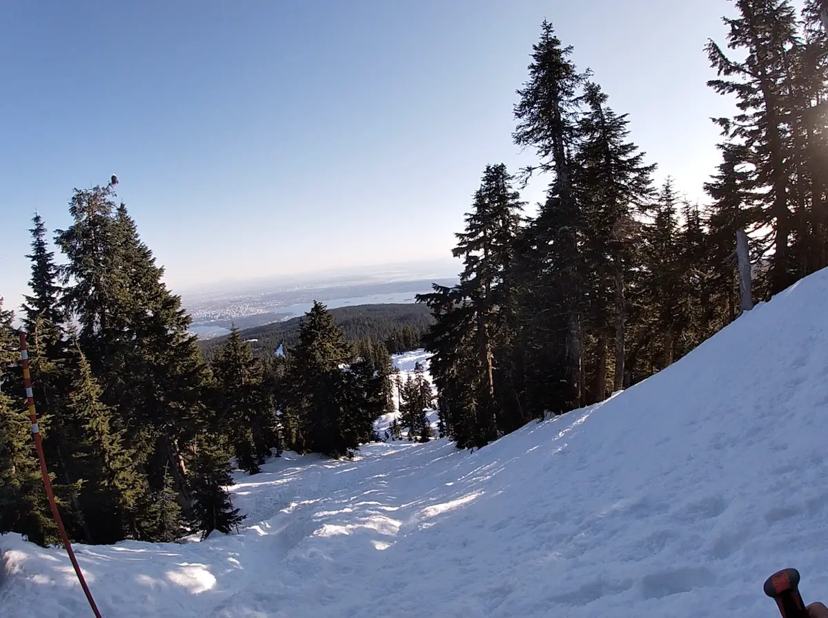
The route is very straightforward and well-marked by flashes in the trees and red poles in the snow. The trail begins at the “Hollyburn Hikers Access Trail” sign and follows left of the powerline near the Nordic trail. You will gain slight elevation as you follow along to the left of the powerlines. Make sure to take a look back after the first hill as you will already be rewarded with a fabulous view of Howe Sound.
The trail curves left (north) away from the Nordic Trail and powerlines and the ascent continues along a wide path through a beautifully wooded area.
The trail converges with the Nordic track once again. You will notice a sign marking the ski area boundary. This is where the climbing gets steep. Hike past the area boundary sign following the red poles in the snow and the obvious path between the open trees.
Remember to look behind your shoulders every once in a while to take in the beautiful views of the city as you catch your breath. The final climb to the summit is steep but keep pushing as the views get better every single step.
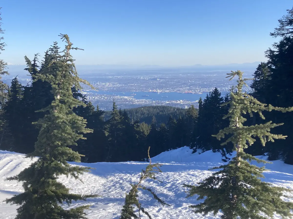
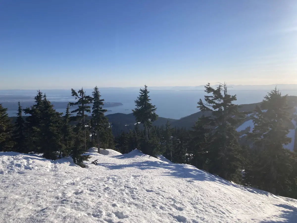
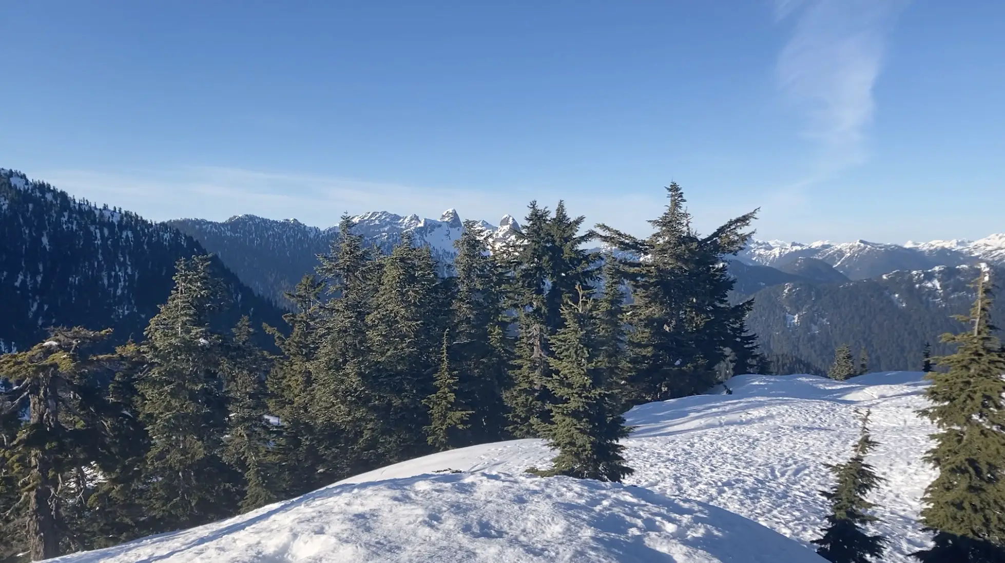
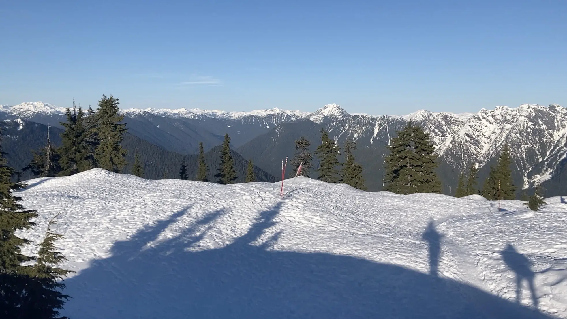
At the summit you can enjoy a large open area with 360 degree views of the North Shore Mountains including the Lions and Crown Mountain and breathtaking views of the city and Howe Sound beneath.
If you are staying for the sunset claim a little area for yourself, crack open a pint, eat some food and enjoy the orchestra of colours.

The Descent
If you are skiing down, ensure you study a map and choose a route that works best for you. For hikers, follow the same trail you climbed up.
The easiest and most enjoyable way to descend down Hollyburn mountain is to slide down on your bum! Since the trail is so steep and becomes extremely icy many hikers and snowshoers opt to slide down instead of walking. This is super fun and sometimes I even bring a garbage bag or small sled so I don’t rip my pants. If you do plan to slide down portions of the trail ensure you have a clear path and do not collide with any hikers below.
Happy Hiking!