Tucked beneath Mt Colonel Foster (the fourth highest peak on Vancouver Island), sits the ever so gorgeous, Landslide Lake. It’s the perfect spot for a cool down on a hot day and the larger than life rocky backdrop is a dream for photographers. The trail is moderate and can be attempted by all skill levels. The Elk River Trail gains elevation at a very steady pace and is extremely easy to follow. The adventure involves crossing runoffs, passing waterfalls, spotting snow caves and keeping your eyes peeled for wildlife on the Elk River. This is a staple day or overnight trip for those playing around in Strathcona Park.
Check out our Landslide Lake Hiking Video HERE
Remember the Backcountry Basics
- Carry your Survival Kit & Essentials
- Let someone know where you’re going with a Trip Plan
- Know how to avoid negative wildlife encounters
- Practice Leave No Trace to keep the wilderness pristine
- Carry a Satellite Communicator like SPOT X
Table of Contents
The Breakdown
| Distance (Round Trip) | 21.2km |
| Elevation Gain | 1,027m |
| Time (Round Trip) | 7-9 Hours |
| Dogs | Yes |
| Camping | Yes (First come first serve) |
| Season | June-Sep |
| Difficulty | Moderate |
| Remoteness | Busy |
How to Get There
Driving from Campbell River BC, you are going to follow the BC-28 (Gold River Highway) all the way to the end of Upper Campbell Lake. When you near the end of Upper Campbell lake you will reach a fork. Take a right at this fork to continue along BC-28. About 23km or a 20min drive from the junction you will see a sign for the Elk River Trailhead to your left.
The Route
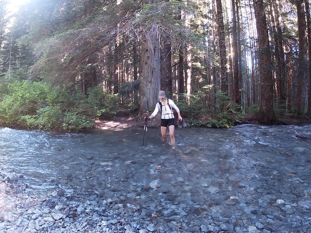
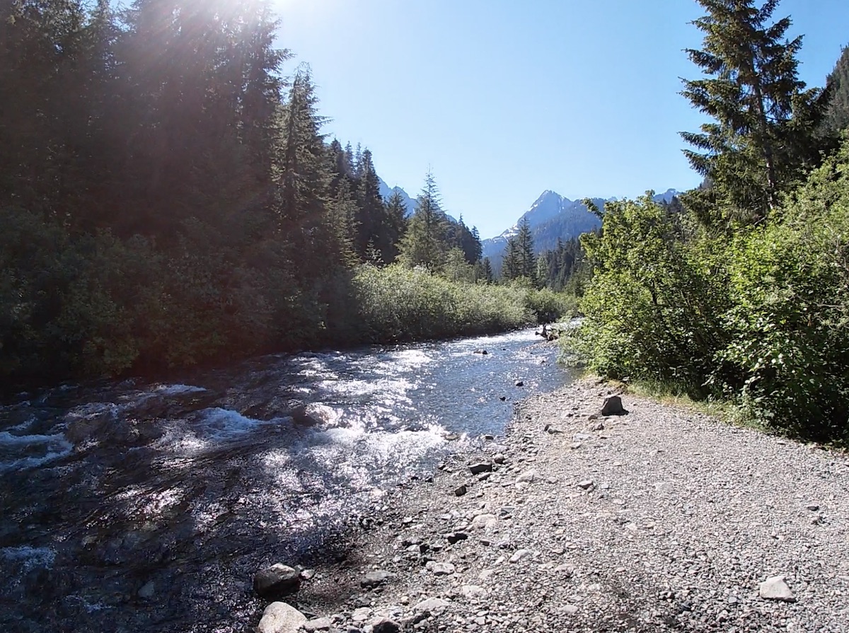
The Elk River Trail begins from the parking lot. There’s a trail map at the start to help get you situated and a drop box to pay your backcountry fee if you are staying the night. The walk is relatively flat for the first 6km and meanders up some mellow switchbacks on the edges of the Elk River. The only small complication along the way is a creek crossing, requiring you to take your boots off and get your feet wet. The crossing comes before the Butterwort campsite and is very hard to miss. The forest is less dense in this area, there are some no camping signs in the trees and there is an out of commission bridge to the right. I attempted to cross this bridge twice, but there was no reasonable way of passing due to the water level/debris. Don’t waste too much time devising alternate strategies to keep your boots dry, just take em’ off and head straight across in your bare feet, and continue looking for trail makers your boots, head straight across this, and continue on looking for trail markers.
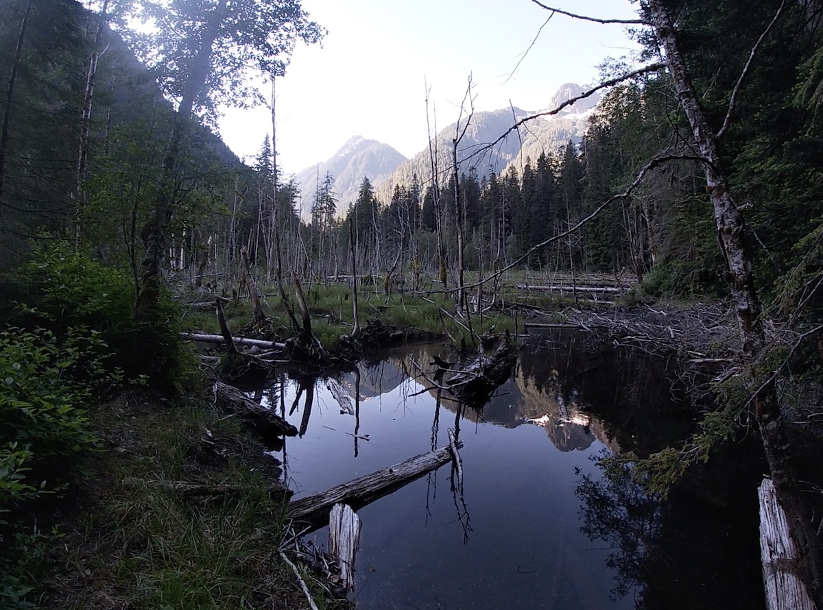
The Butterwort Flats campsite is about 6.5km from the trailhead. It’s the less busy of the two campsites and there are a few nice riverfront spots. Setting up at the Butterwort Flats and hiking to Landslide and Berg Lake with daypacks, and heading back to Butterwort for the night is a common strategy for many hikers. As the trail continues onwards from the first campsite you will have the privilege of walking past some incredibly beautiful waterfalls whose mist will cool you off just perfectly on a hot day.
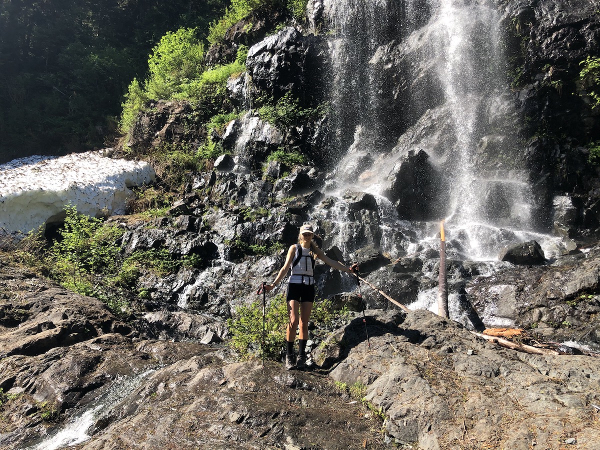
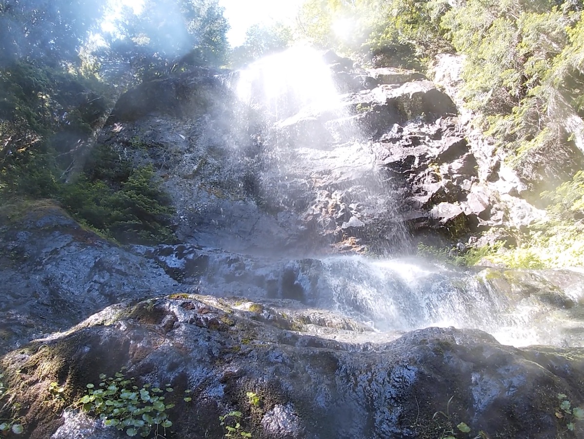
At the 9km mark you will arrive at the Upper Gravel Bar Campsite. There are also some great forest and riverfront camping options here. This is also a good spot to replenish your water before continuing up the final leg to the lake.
Shortly after the second campsite you will cross a final wooden bridge, the trail will become less forested and you will begin to walk uphill on exposed bedrock. The bedrock is exposed as a result of a 7.3 Magnitude earthquake on June 23rd 1946 that snapped off part of Mt Colonel Foster and sent it shooting down into the lake and valley below. 1.5 million cubic meters of rock was displaced, and about half of this ended up in the lake. The East Face of Colonel Foster has a drop of close to 1,300 meters which makes it one of the tallest continuous mountain faces in the world. It’s even longer than El Capitan. Maybe we should let Alex Honnold know about this one!
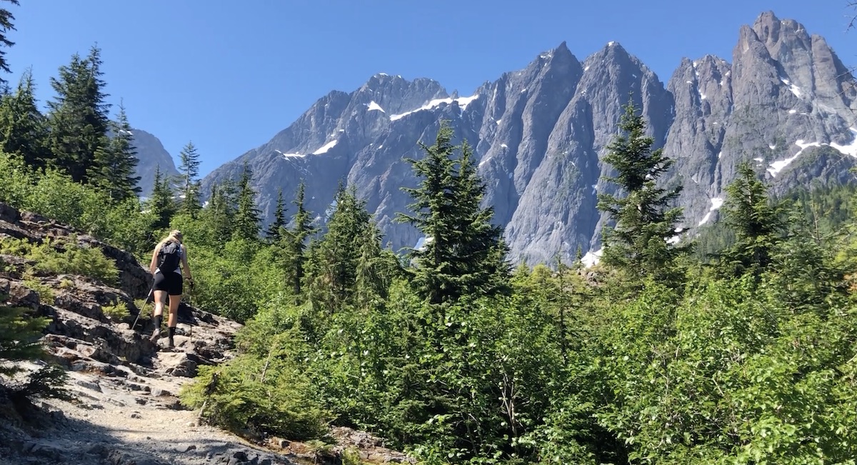
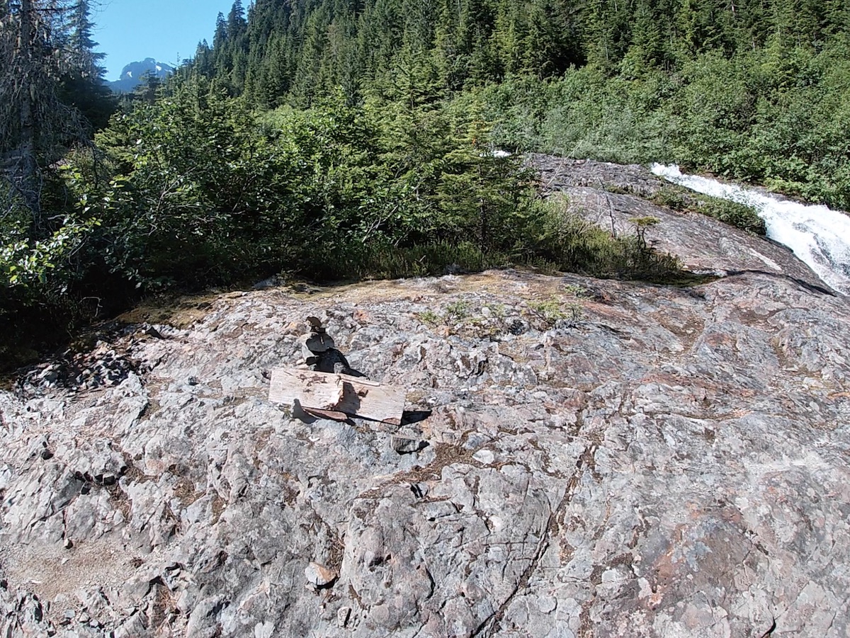
As you make your way up the exposed bedrock look for a sign on the ground/rock cairn that points towards a blue marker in the forest signifying the trail. You are going to tackle the steepest and most sun exposed portion of the hike at this point so make sure you have lots of water. To your right you will be able to watch an extremely powerful runoff barrel down the bedrock and mountains side. The trail is to the left of this runoff, if you are to the right, you are not on the trail. The tree covering will become less dense the higher you go and the damage of the rock slide so many years ago will be very apparent. Mt Colonel Foster should be poking above the trees at this point. Keep following the trail in the direction of the rock wall and you will soon reach the lake.
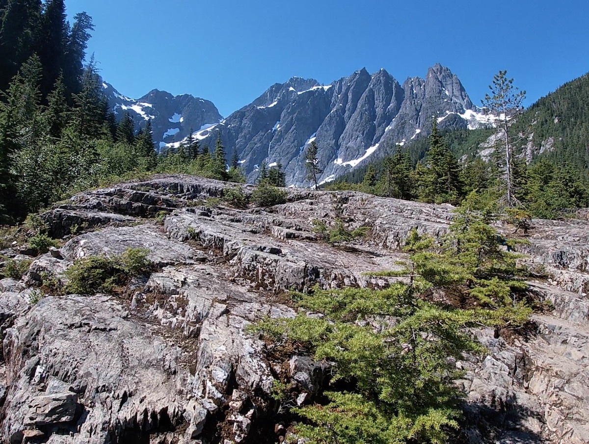
You will arrive at the lake at 11km and after the final push you will surely be sweating. When we got up, I thought we had the lake all to ourselves. I tore my clothes off and dove in without noticing a group of 4 male hikers to my left. One of them happened to be the Park Ranger. I gave them a wave, we all laughed and I threw my briefs back on for my second swim.
It was around noon when we reached Landslide Lake and the temperature was getting near the mid thirties. We were not aware that Iceberg Foster Lake was only a short hike around the East side of the lake so we decided, instead of adventuring further in the extreme heat we would have a quick lunch, one last swim, and head back down to the car.
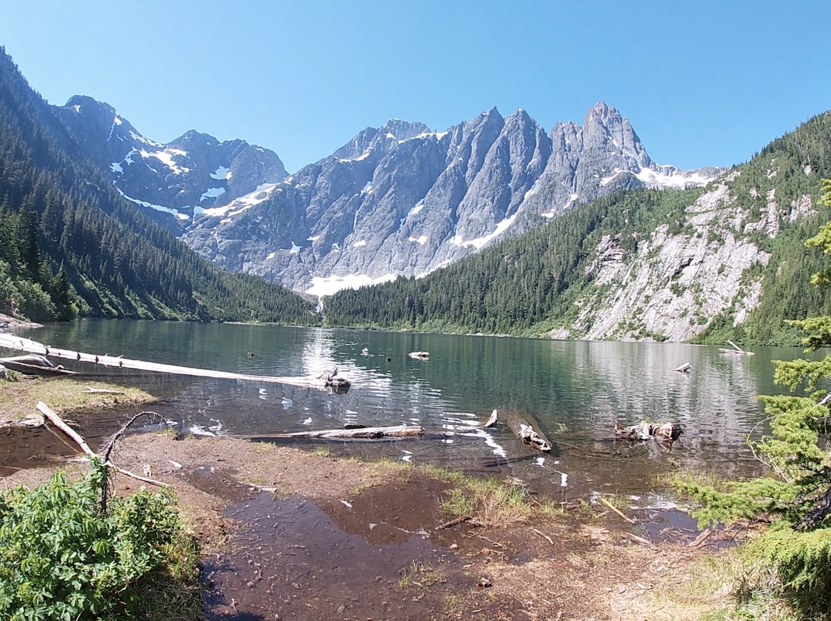
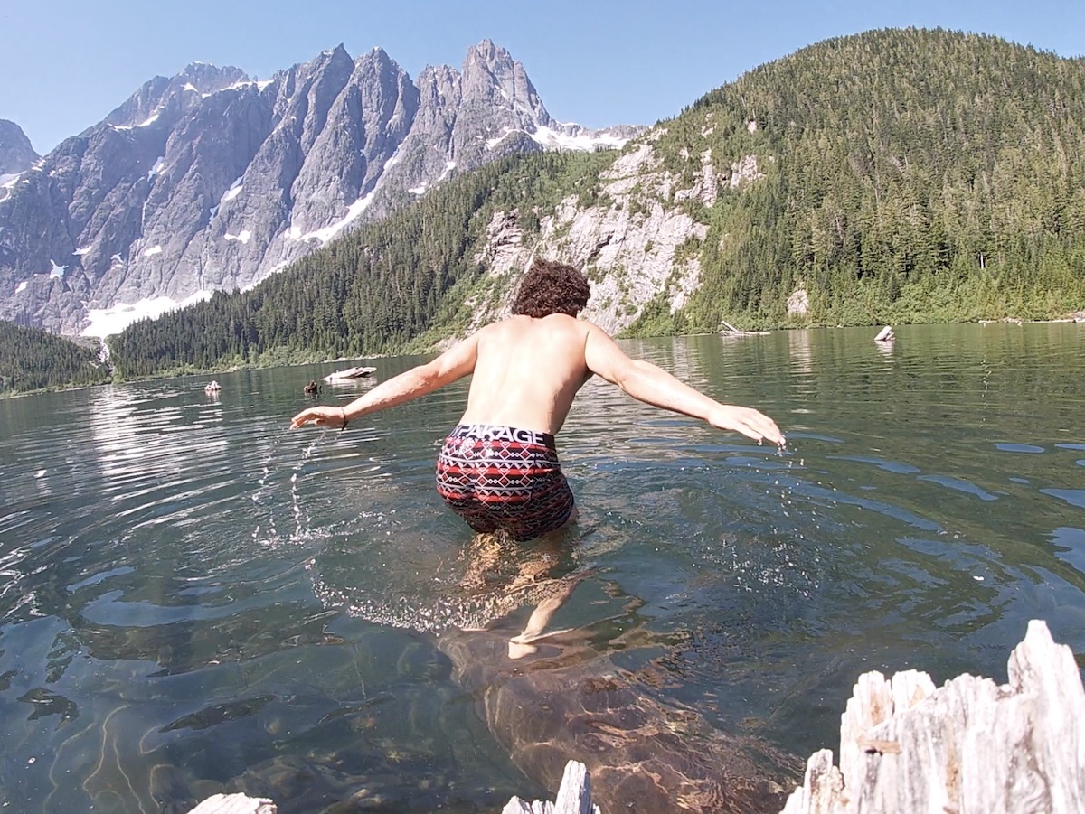
In hindsight I do regret not going the extra few km’s to Iceberg Foster lake. If you are planning to do this trail, do yourself a favour, plan for extra time and hike around Landslide Lake and up to Foster, I have only heard good things.
The 12km down for us became pretty grueling in the sweltering mid-day weather. We decided to pass up on our last chance to easily fill water at the 6km Butterwort campsite (another poor decision) and became very overheated and thirsty during the last 3km of the journey. The entire hike to Landslide and back took us around 7 hours and thirty minutes. If you plan on tacking on Iceberg Foster Lake give yourself at least 8-10 hours of daylight.
Camping Information
You are only able to camp at the designated backcountry sites located on the Elk River Trail. Camping at Landslide Lake is not allowed. Backcountry permits are required for all parties from June 15 to September 30. The cost is $10 per person (16+) and $5 (6-15 y/o) with children younger than 6 camping for free. Both the Butterwort and Upper Gravel Bar Campsites are first come first serve and you cannot reserve a specific site. You can purchase your backcountry permit at the trailhead or pre purchase a permit online.
My Two Cents
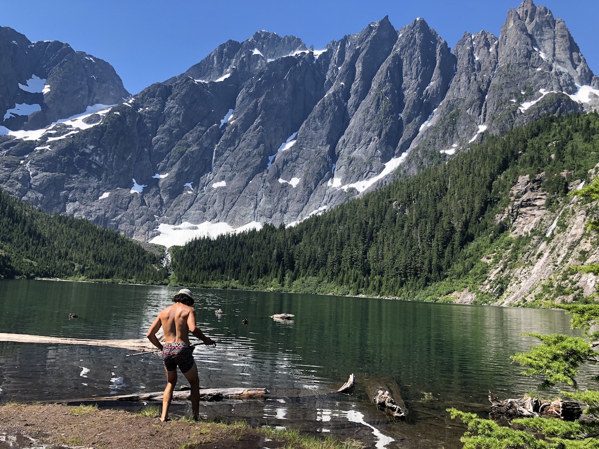
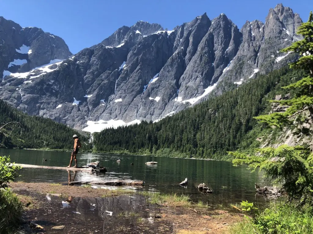
Landslide Lake is truly gorgeous and the sheer size of Colonel Foster makes this lake view one of the most spectacular in Canada. For energetic hikers, especially the weekend warriors, my personal recommendation would be to hike to Landslide and Foster in a day. The two campsite options were far from the lake, not particularly special and I found them to be quite crowded. However, if you can get there on a quiet weekday, your experience might by totally different, just thought I would give you my honest opinion. I’ll be sure to hike Landslide again so I can see Iceberg/Foster and maybe even venture to the summit of the mighty Colonel Foster.
Please let me know if you have any questions or feel free to make me jealous about missing Iceberg Lake in the Comments.
Happy Hiking!




3 Responses
Thank you, for the great info!
Thank you for the information. We have an RV and struggling to find a campsite to book in order to do the Elk River Trail. We were planning on doing this hike within 1 day. Am I right to assume the parking lot is first come first serve and we can leave our RV there, hike for the day and return back at night? Are we allowed to stay there overnight in our RV?
Thank you for your help.
Hey Arjun,
So sorry for missing this! I haven’t checked the website comments in a while. You can absolutely crash at the trailhead for the night or leave it overnight if you’re camping on the trail.