
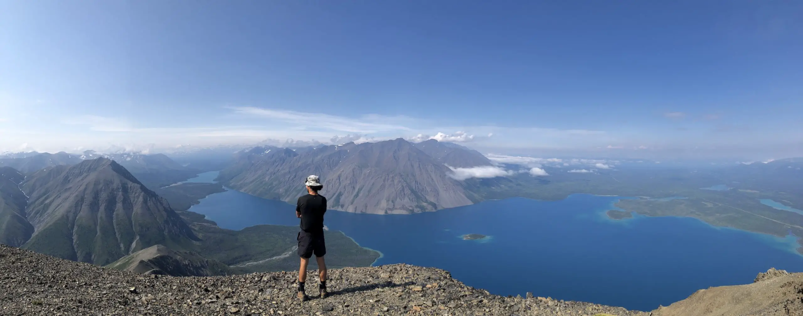
Kings Throne is the “King” of hiking trails in Kluane National Park and indisputably deserves its crown. Kathleen Lakes turquoise colour and colossal footprint looks like an ocean tactfully tucked beneath snow-capped mountains and winding between striking verdant river valleys. There are two sections to this trail, first to the throne and second to the peak. The second portion involving the ridge and summit, experiences less traffic and is where the magic happens. On the ridge and summit you will feel surrounded by tropical ocean islands in the mountains making every step and bead of sweat worthwhile. Choose a bluebird day for this hike and trust me, the views will be forever etched into your mind.
Check Out Our Kings Throne hiking video HERE
Remember the Backcountry Basics
- Carry your Survival Kit & Essentials
- Let someone know where you’re going with a Trip Plan
- Know how to avoid negative wildlife encounters
- Practice Leave No Trace to keep the wilderness pristine
- Carry a Satellite Communicator like SPOT X
Table of Contents
The Breakdown
| Distance (Round Trip) | 12.7km |
| Elevation Gain | 1339m |
| Time (Round Trip) | 5-7 hours |
| Dogs | Yes |
| Camping | No |
| Season | July-Sep |
| Difficulty | Difficult |
| Remoteness | Moderate Traffic |
| Highest Point | 1990m |
Driving Directions
From Haines Junction head South on Haines Hwy (Hwy 3). After around 32km of driving you will see signs for Kathleen Lake Campground. Take a right on Kathleen Lake Road and continue past the first left turn to the campsite, take the second left and you will arrive at the trailhead parking just before the lake and warming shelter. Here you will find the trail information/map and the old mining road to follow for the first portion of the hike.
The Route
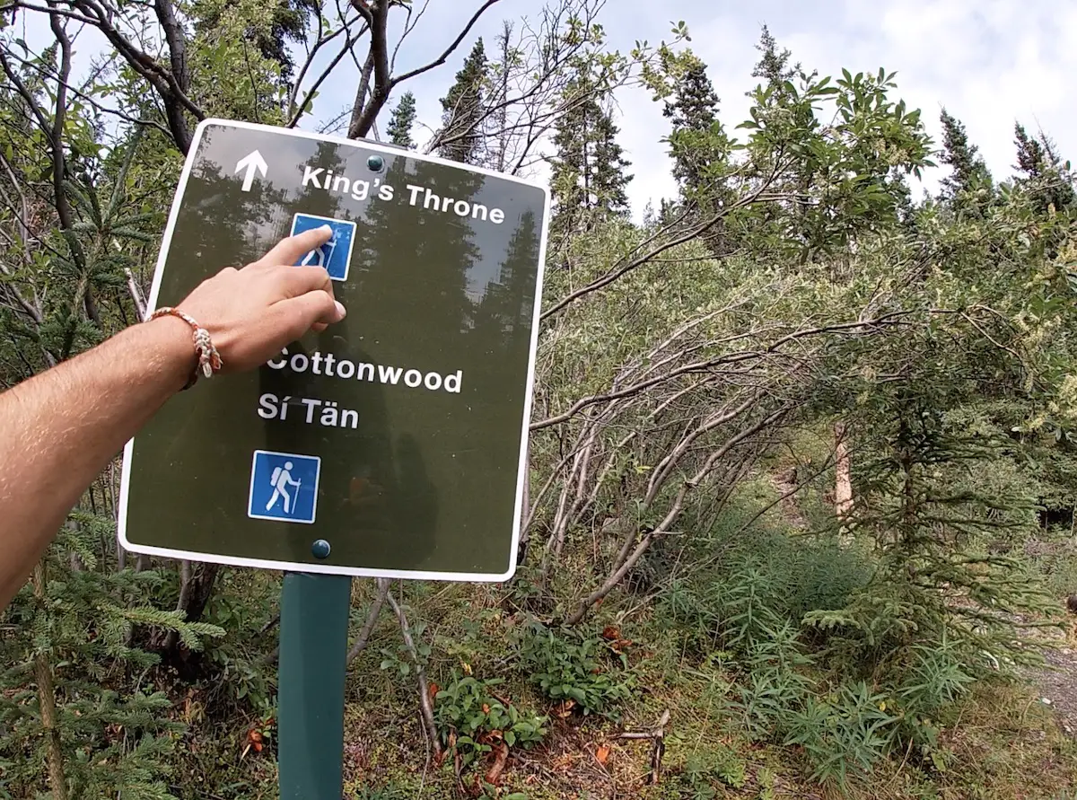
Begin from the trailhead sign and follow the old flat mining road through the trees. On your right, you will begin to see bits of Kathleen Lake and at the 1km mark will arrive at a fork in the road. Take a left at the fork for Kings Throne/Cottonwood trail. Shortly thereafter you will arrive at another confluence. Follow the sign to the Kings Throne trail.
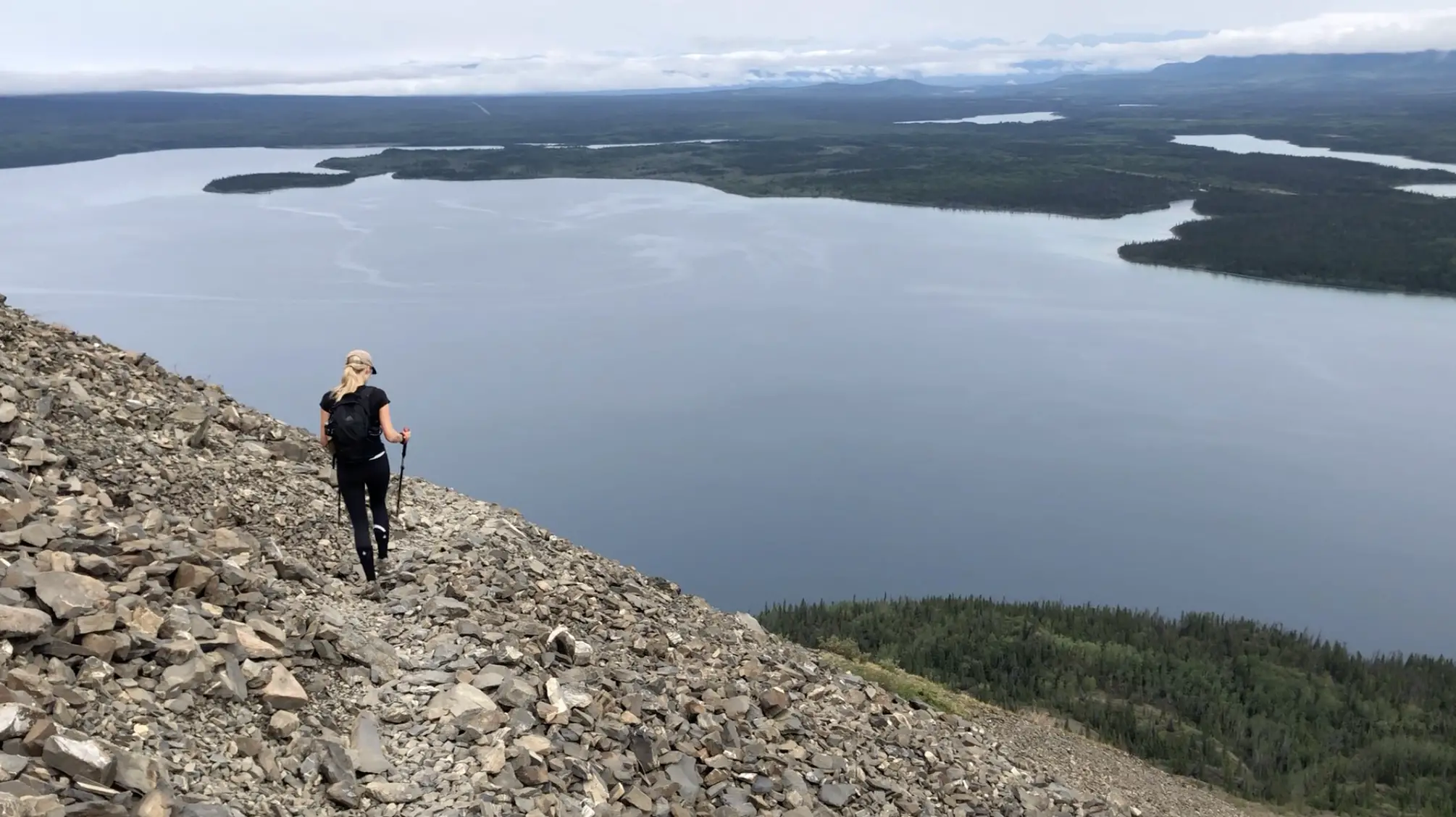
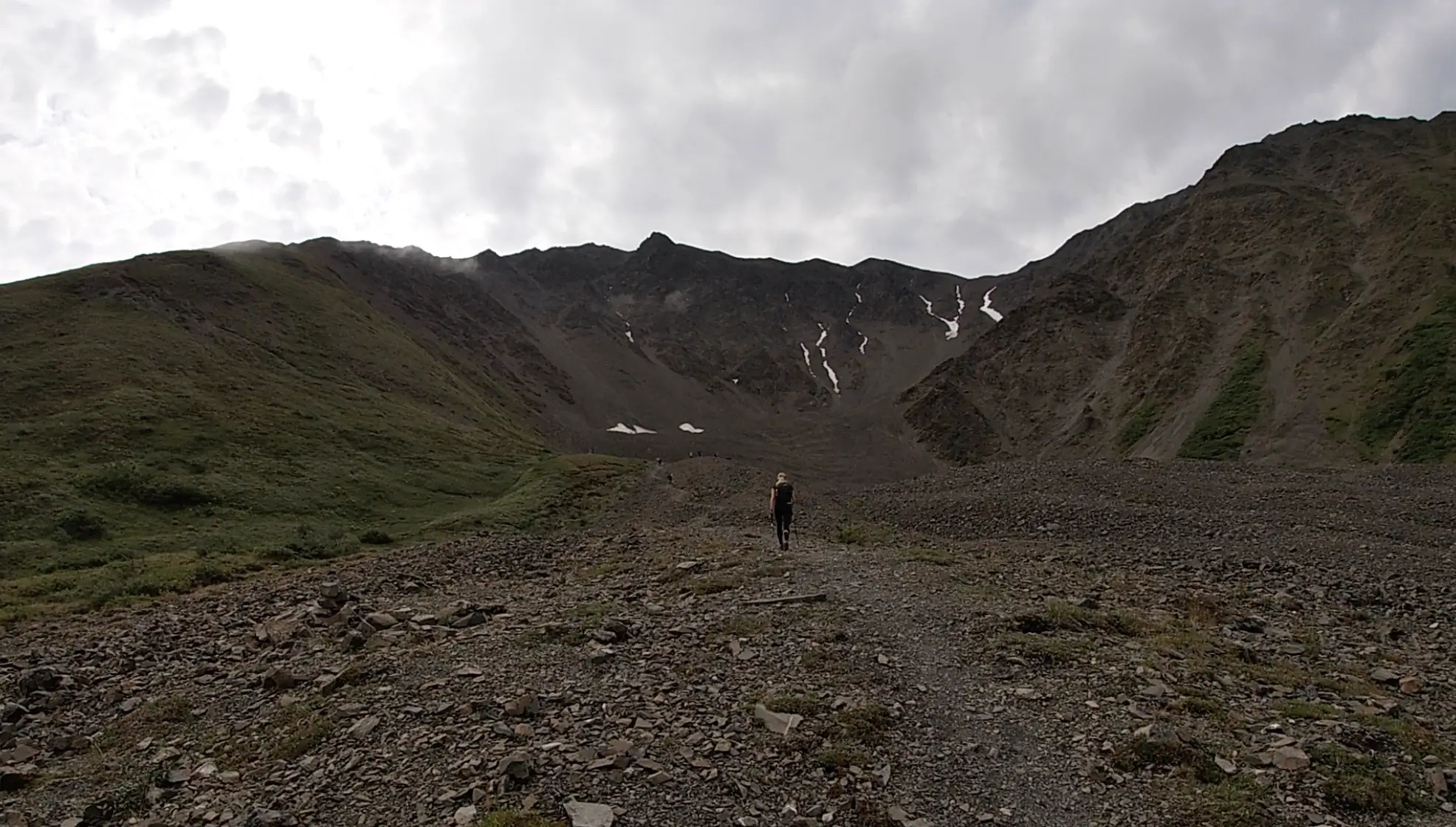
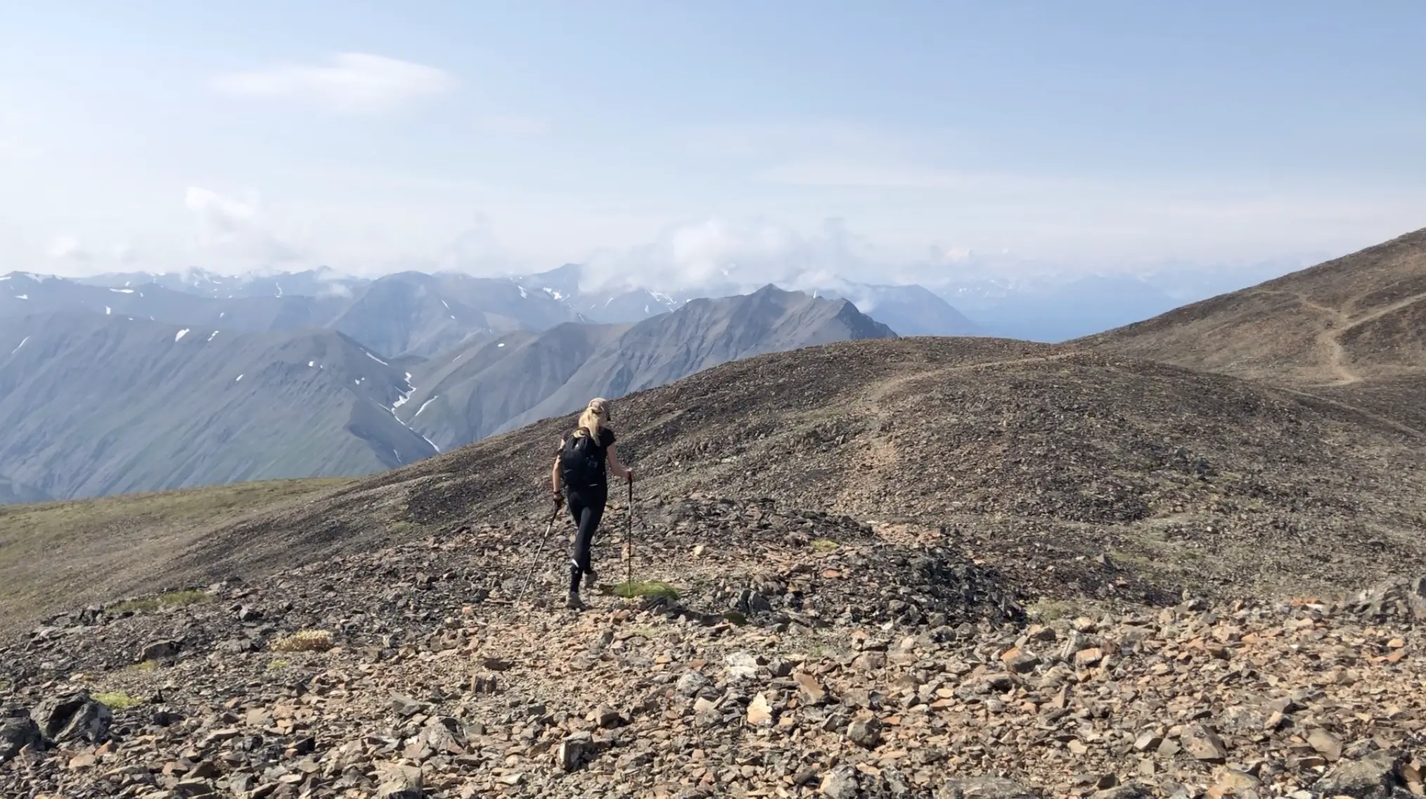
This is where some moderate elevation gain will begin. You will climb through the treeline until the trail turns into loose rocks. Follow the most obvious/well walked switchback route up the rocks. The initiation of expansive Kathleen Lake views will commence about halfway up the switchbacks. The higher you climb, the better, and the bluer Kathleen lake appears.
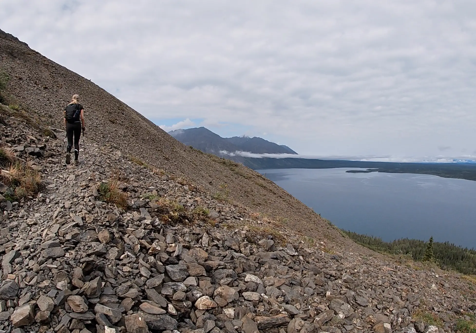
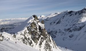
At roughly 3.6 kilometers you will have conquered approx. 550m of elevation gain and will reach the ‘seat’ of the Kings Throne. You will be encircled by an arena of jagged rocky ridges and have a magnificent view of the lake. This is a common turnaround spot for hikers seeking a more relaxed experience.
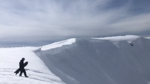
The throne is cool, but the best part of the trail is the ridge and summit. If you have decent hiking boots, ample water and the weather is cooperating I would 100% recommend heading up the second portion of the trail. If you are facing the throne, the trail continues to the left climbing very steeply up the ridge. This is the real calf crusher gaining close to 500m over 1km.
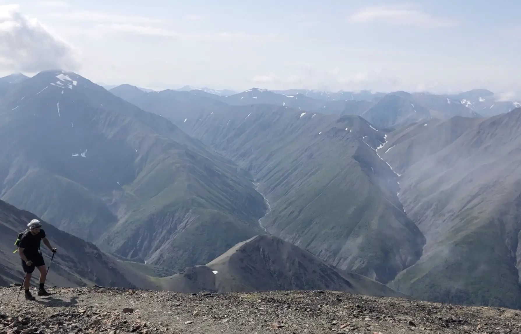
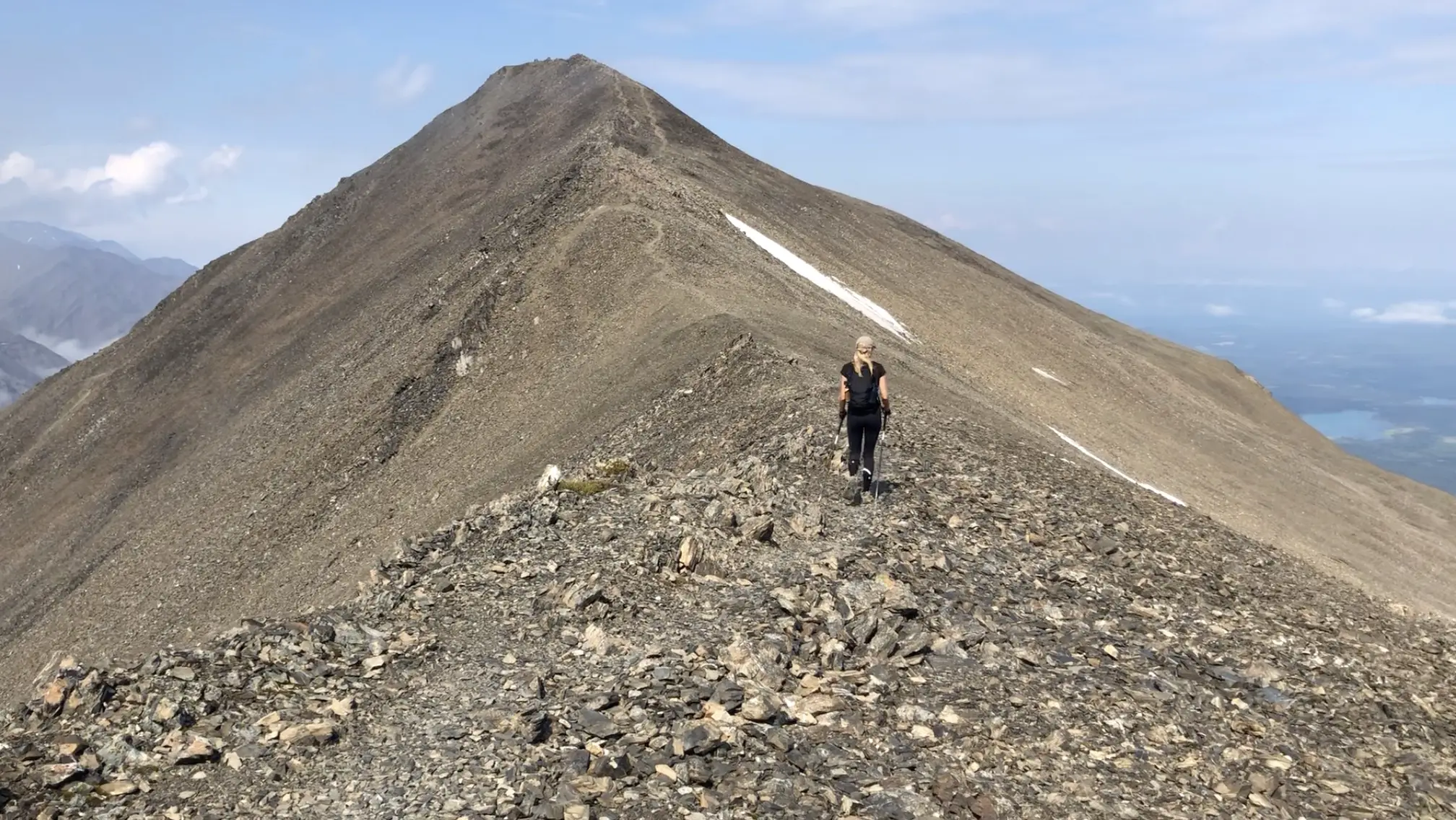
At the 5km mark you will have done the brunt of the hard work and will be rewarded with mind blowing views of Kathleen Lake, many other lakes, and the mountains on the other side. The views don’t stop, they just continue to get better as you continue along the windy ridge.
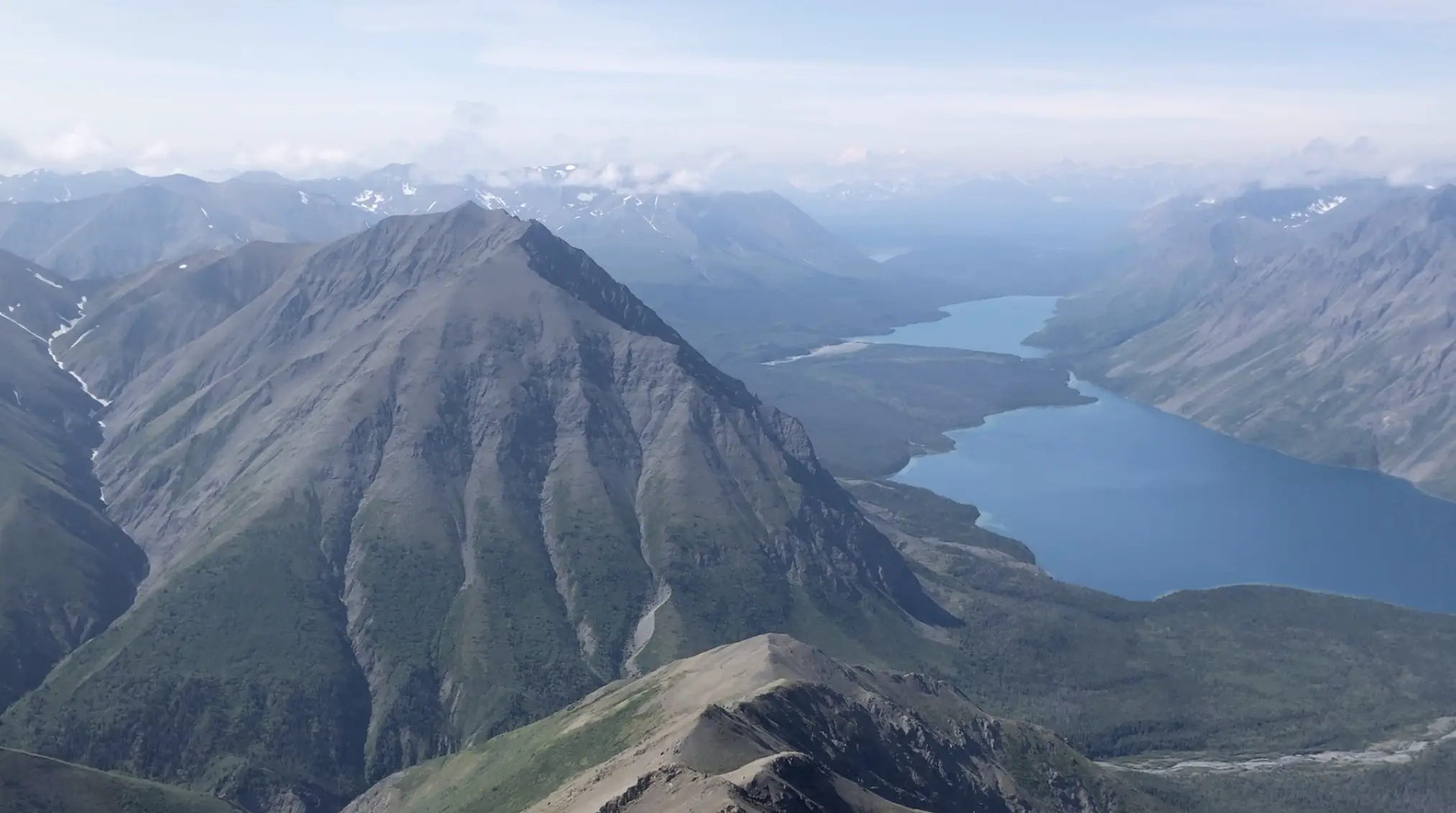
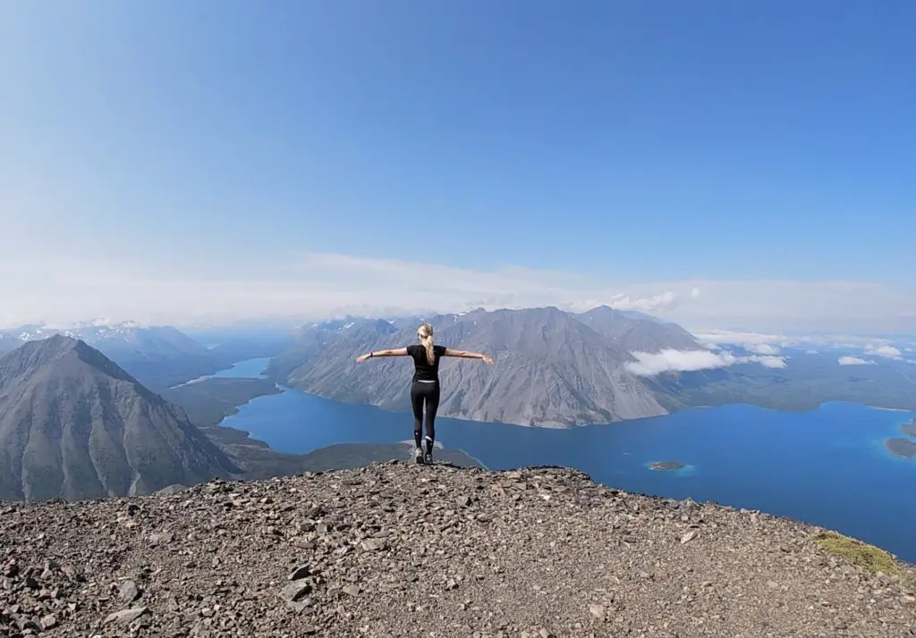
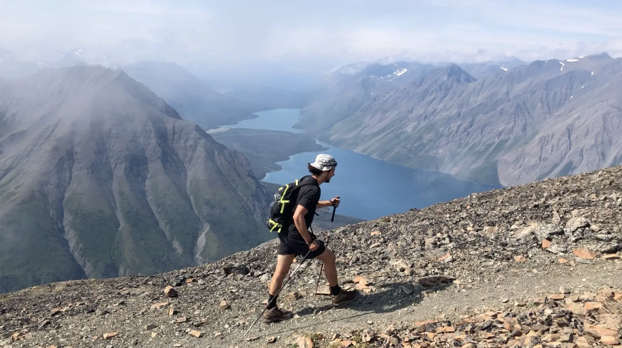
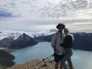
As you round the ridge you will climb steadily to the summit. I was completely blown away! I couldn’t believe that we were in Canada. The tropical colours of Kathleen Lake and it’s raw size was something I had had never seen before. Mountains, lakes, valleys and rivers fill the horizon as far as the eye can see. We lucked out with an extremely clear day and we were able to make out some massive snow-capped peaks in the distance. One hiker said he believed it to be Mt Logan. However, upon discussing with the park ranger, it was more likely that without binoculars we were staring at Mt Alverstone, Mt Hubbard and Mt Kennedy which were completely snow covered in late August.
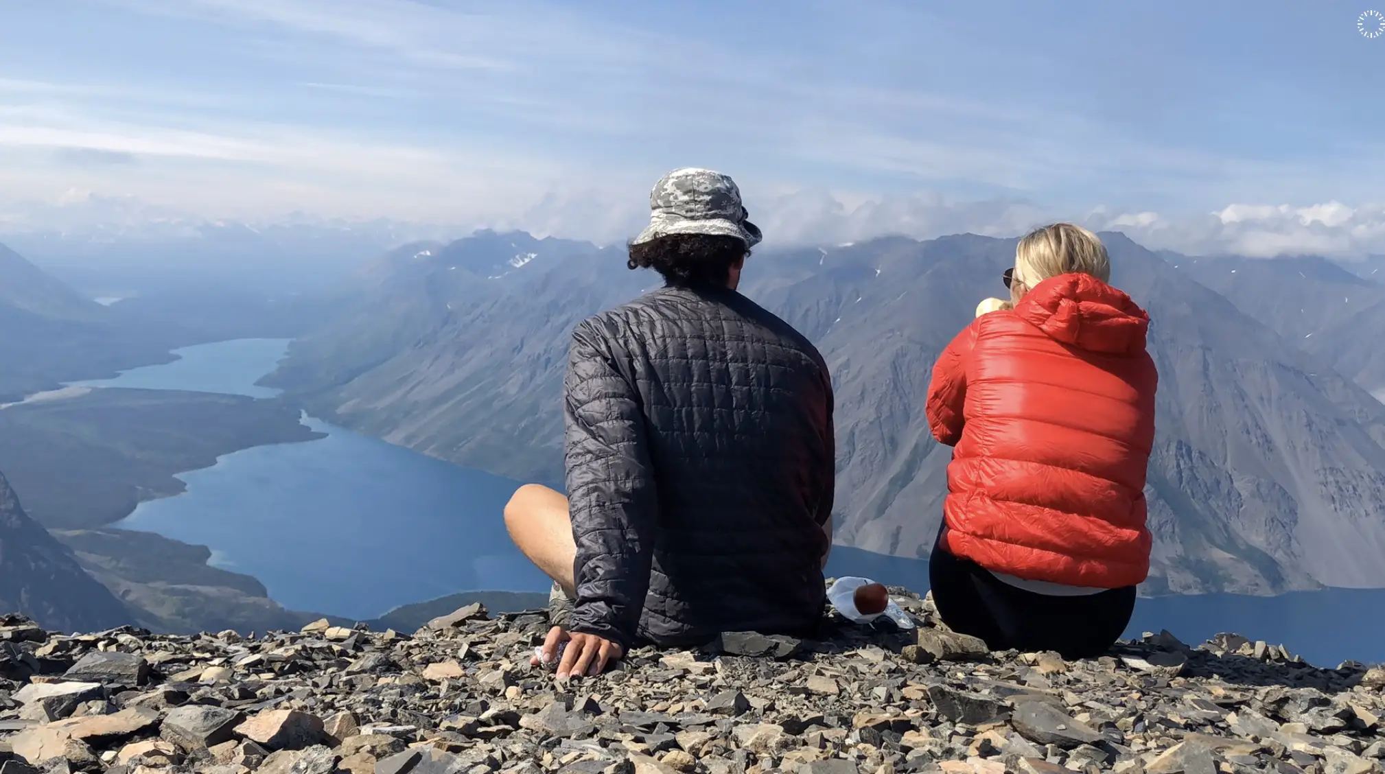
The summit was so unique we spent a whole 30 minutes awestruck by the beauty of Kluane National Park.We took the same path down and arrived back at the truck after about 5 hours and 45 minutes. On the upper portion of the hike we only ran into two other parties and had the summit to ourselves. There were loads of people eating lunch at the throne as we hiked down, so it definitely does get busy since it is one of the most popular trails in the region.
Let me know if you have any questions in the comments?
Happy Hiking!


One Response
Amazing