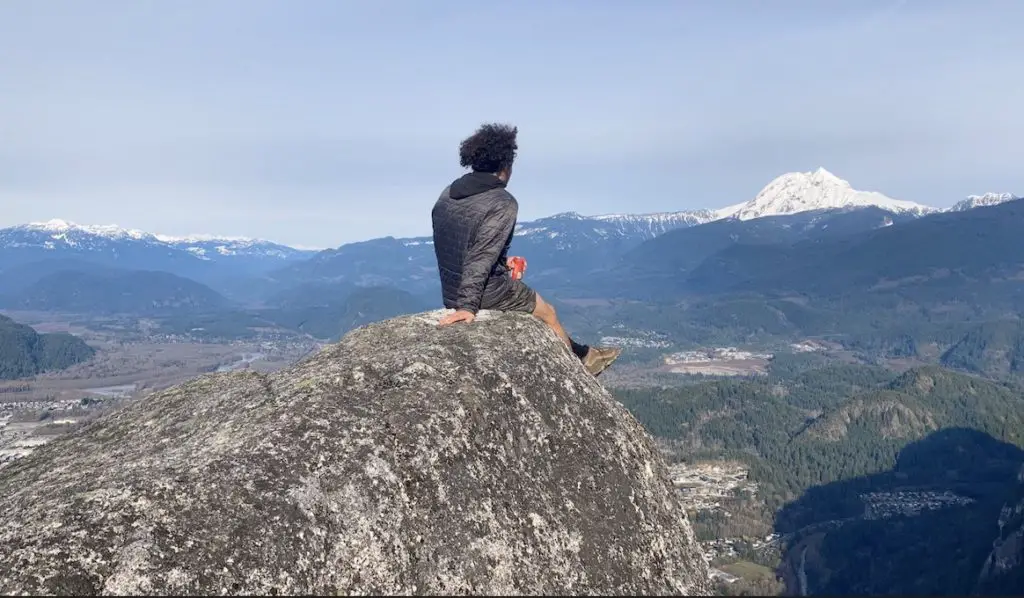
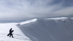
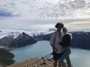
Hiking is the absolute best way to get recharge on the weekend. It enables you to have new and amazing experiences all while getting exercise and fresh air. Nothing is more satisfying than getting up early, knocking out an amazing hike and getting on with your day! Below I’ve listed 6 fantastic intermediate hiking trails near Whistler and Squamish. These trails are ideal for people of all skill levels who don’t want to commit to an entire day of hiking.
Remember the Backcountry Basics
- Carry your Survival Kit & Essentials
- Let someone know where you’re going with a Trip Plan
- Know how to avoid negative wildlife encounters
- Practice Leave No Trace to keep the wilderness pristine
- Carry a Satellite Communicator like SPOT X
Table of Contents
Joffre Lakes Provincial Park, BC
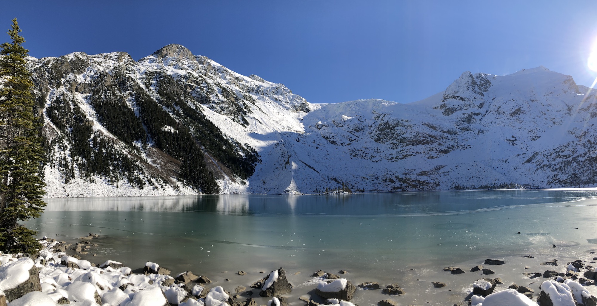
Joffre Lakes is truly one of BC’s most incredible hikes, it’s also one of the easiest! These are the easiest glacial lakes to access in the province and if you’re new to the mountains the three lakes will undoubtedly hold the most breathtaking watercolors you’ve ever witnessed. Three stunning lakes, a waterfall, and the Matier Glacier, this one is truly a 10/10. You will not be disappointed but, these days, easy access come with a cost…. CROWDS.
In the last 5-10 years Joffre lakes has become insanely busy, with the rise of Instagram and other social photo sharing platforms. You have all surely seen the log on middle lake everyone and their dog walks onto in order to get that perfect shot. Crowds aside, if you plan appropriately and don’t go on a summer long weekend, you will not regret making the trip.
Quick Stats
| Distance (Round Trip) | 10km |
| Highest Point | 1,600m |
| Elevation Gain | 370m |
| Time Needed (Scenic Pace) | 4 hours |
| Time Needed (Fast Pace) | 1.5 hours |
| Camping | Yes (Reservation Required) |
| Season | May-September |
| Difficulty | Intermediate |
| Remoteness | Heavily Trafficked |
Read The Full Joffre Lakes Hiking Guide HERE
Garibaldi Lake, Whistler, BC
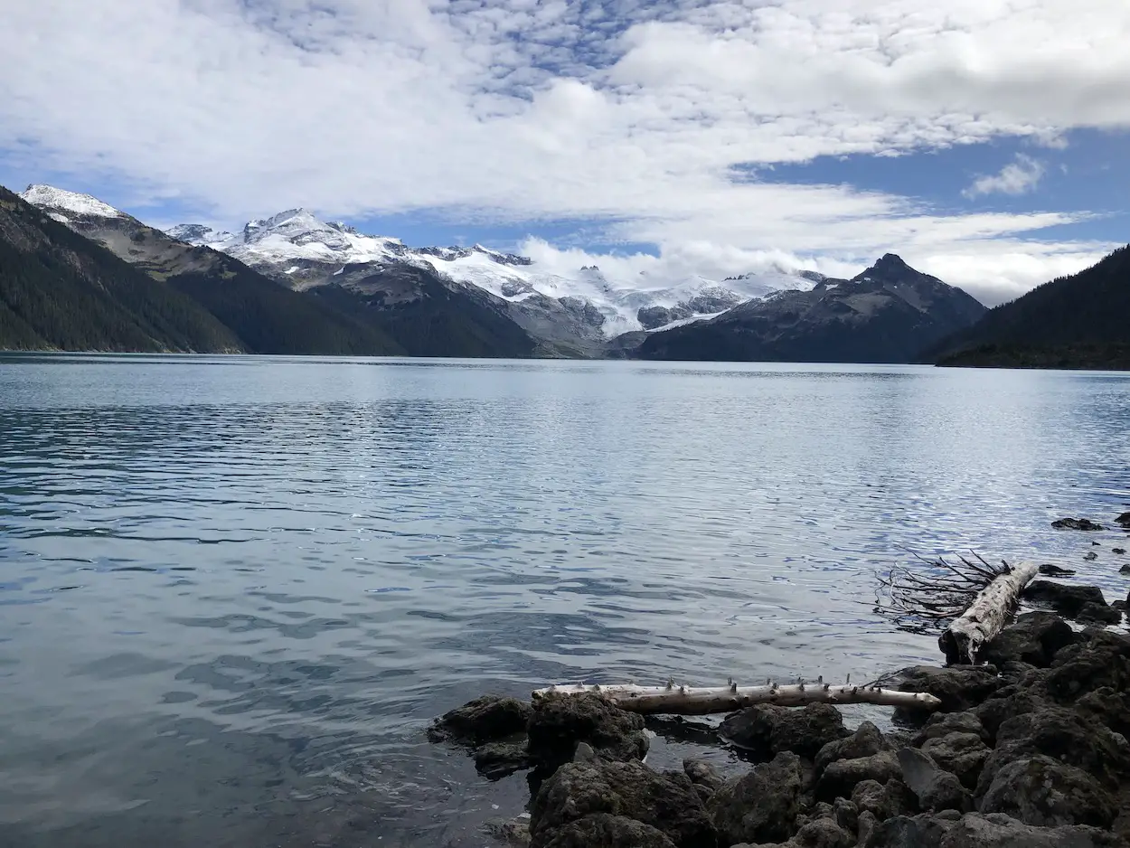
Almost entirely surrounded by ex-volcanic peaks, fed by the Sphinx and Sentinel glaciers, Garibaldi Lake, the turquoise heart of Garibaldi Provincial Park beats 1500m above sea level. Anyone with Instagram or a good old hiking book has seen pictures of this alpine heaven.
I know, the photos you’ve seen probably look amazing. But trust me, they can’t contest experiencing the park for yourself.
Views this amazing usually don’t come easy, or don’t come free. However, getting up to Garibaldi Lake couldn’t be easier. It’s located 37km North of Squamish and 19km South of Whistler. Getting to the lake takes a few short hours and requires climbing 820m of switchbacks over 9km.
Quick Stats
| Distance (Round Trip) | 18km |
| Elevation Gain | 820m |
| Time (Round Trip) | 4-6 hours |
| Dogs | Prohibited |
| Camping | Yes (Reservation Required) |
| Season | Year Round |
| Difficulty | Easy |
| Remoteness | Heavily Trafficked |
| Highest Point | 1490m |
Read The Full Garibaldi Lake Hiking Guide HERE
The Stawamus Chief, Squamish, BC
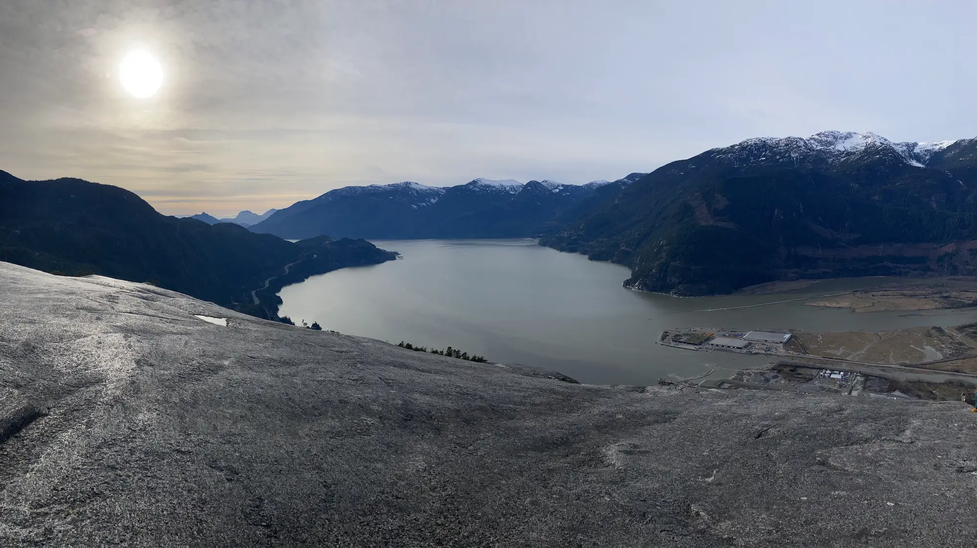
The Chief, formally the Stawamus Chief Mountain is the most recognizable hunk of rock in all of British Columbia. Its Gargantuan Granite wall towers 800m above the ocean in Howe Sound. Believe it or not, it is one of the largest Granite Monoliths in the entire world. Rock climbers flock to the chief all times of the year to have a crack at scaling its grandiose wall.
Fortunately, you don’t have to be an experienced rock climber to get up close and personal with the chief. Hikers of all skill levels can climb up to one or all three of the Stawamus Chief Peaks.
First Peak is the shortest and most popular of the three peaks. Second Peak is considered by most to be the best view and requires walking a more rugged trail. Third Peak is the true summit of the Stawamus Chief Mountain.
No matter which way you slice the pie it’s an absolute calf crusher on the way up and a knee Blitzer on the way down. Your pain will be aptly rewarded when you feast your eyes upon the unbelievable panoramic view of Howe Sound and the city of Squamish
Quick Stats
| Distance (Round Trip) | 3km |
| Elevation Gain | 540m |
| Time (Round Trip) | 1-4 hours |
| Dogs | Yes |
| Camping | No |
| Season | Year Round |
| Difficulty | Moderate (Some steep/difficult portions) |
| Remoteness | Very Busy |
| Highest Point | 613m |
Read the Full Stawamus Chief Peaks Hiking Guide HERE
Tunnel Bluffs, Lions Bay, BC
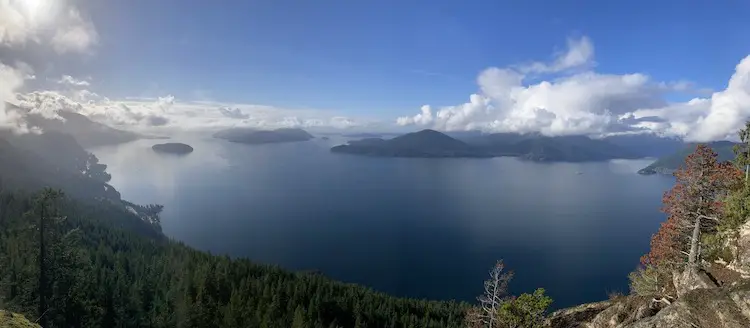
The Tunnel Bluffs Trail is your ticket to spectacular panoramic views of Howe Sound, Bowen Island, Horseshoe Bay and Vancouver Island. The trail itself is moderate and can be tackled by hikers of all skill levels. This is the perfect hiking option in the fall and winter as it stays snow free for most of the year. The trail requires hikers to climb about 470m in elevation over 2km of switchbacks and the final 2-3km of the trail is flat. On the journey to the viewpoint there are some fun log bridges to cross and a few small runoff waterfalls. At a fast pace you can complete the trail in 2-3 hours but, on a clear day, you are going to want to spend a solid chunk of time soaking in the views.
Quick Stats
| Distance (Round Trip) | 11km |
| Elevation Gain | 478m |
| Time (Round Trip) | 3-5 hours |
| Dogs | Yes |
| Camping | No |
| Season | Year Round |
| Difficulty | Moderate |
| Remoteness | Heavily Trafficked |
| Highest Point | 688m |
Read The Full Tunnel Bluffs Hiking Guide HERE
Cirque Lake, Callaghan Provincial Park, BC
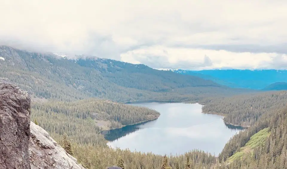
An absolute must do day-trip or overnight destination. It experiences much less traffic than most other trails in the sea to sky/Whistler area and offers very easy access to get deep into the wilderness. It is breathtaking and there are miles and miles of alpine terrain to explore around you. There is one catch when venturing to cirque lake that makes it so unique. You must paddle across the lake to get to the trailhead. The mix of paddling and hiking is what makes this such a fun destination. The physical trail is short and steep. You will gain close to 400m over a 1 kilometer stretch. I’ve given this hike a rating of intermediate because the trail markings aren’t well maintained and the trail itself is rugged.
Quick Stats
| Distance (Round Trip) | 3.2km |
| Highest Point | 1,544m |
| Elevation Gain | 361m |
| Time Needed (Paddle) | 45 minutes |
| Time Needed (Hike) | 1.5 hours |
| Camping | Yes - Backcountry |
| Season | July-September |
| Difficulty | Intermediate |
| Remoteness | Remote |
Read The Full Cirque Lake Hiking Guide HERE
Elfin Lakes, Squamish, BC
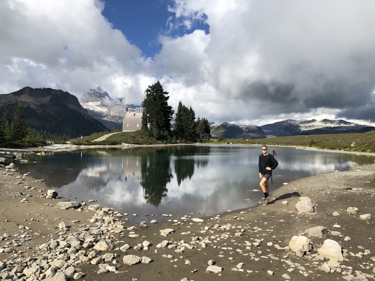
The Elfin Lakes trail is a fantastic moderate hike which grants easy access to the renowned Garibaldi Provincial Park Backcountry. Camping is permitted at the two beautifully small lakes perched in the mountains. It’s the perfect day or overnight trip for experienced and amateur hikers alike. Mountain biking is permitted on the trail and is becoming more popular. The trail is popular in all 4 seasons.
Quick Stats
| Distance (Round Trip) | 20km |
| Elevation Gain | 800m |
| Time (Round Trip) | 4-6 hours |
| Dogs | No |
| Camping | Tent (Reservation in Summer), 33 bunks in hut for Winter |
| Season | Year Round |
| Difficulty | Easy |
| Remoteness | Heavily Trafficked |
| Highest Point | 1600m |
Read The Full Elfin Lakes Hiking Guide HERE
Which one of these trails is your favourite?
Let me know in the comments.

